2.1.10 Substations
2.1.10.3 Example 3
| |
| Location of Example: |
152°15'25" East, 24°55'51" South |
| Distinctive Characteristics: |
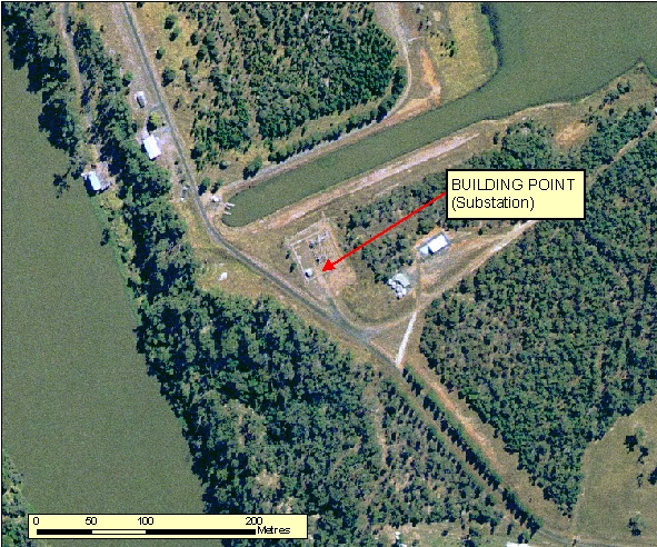
- As shown in Figure: 2.1.10.3a the complex depicting the Substation layout can be normally seen on ortho-photography, however only capture the Building associated with this feature.
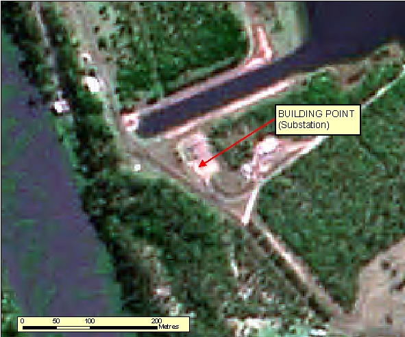
- As shown in Figure: 2.1.10.3b Substations are difficult to interpret from Spot imagery and would probably need to be supplemented with revision material to proper identify this feature. The Building is visible, but cannot be interpreted alone.
- Substations generally are a central hub of connectivity for a Powerline network.
- A Fence line boundary is normally visible to exclude public access.
|
| Regional Considerations: |
|
| Figure: 2.1.10.3 Representation of a Substation in association with surrounding features. |


Topic contact: mapfeedback@ga.gov.au Last updated: January 20, 2012


