


New data to bridge gap in frontier oil and gas regions
4 November 2019
Minister for Resources and Northern Australia, Matt Canavan, and the Northern Territory Minister for Primary Industry and Resources, Paul Kirby, today announced a new seismic survey in the Northern Territory’s Barkly region will wrap up this week.
The 812 kilometre survey covers ground which has seen little exploration in the past, filling in the ‘missing link’ between Mount Isa in Queensland and the Beetaloo Sub Basin in the Northern Territory.
The Federal Government has contributed $4.5 million to the survey under the Exploring for the Future Program, with an additional $140,000 from the Northern Territory Geological Survey under Resourcing the Territory initiative. It commenced in September 2019 close to the Queensland border (near Camooweal) and extends to near Elliot in the Northern Territory.
The acquired data from the survey will be processed and released in the first half of 2020.
More information
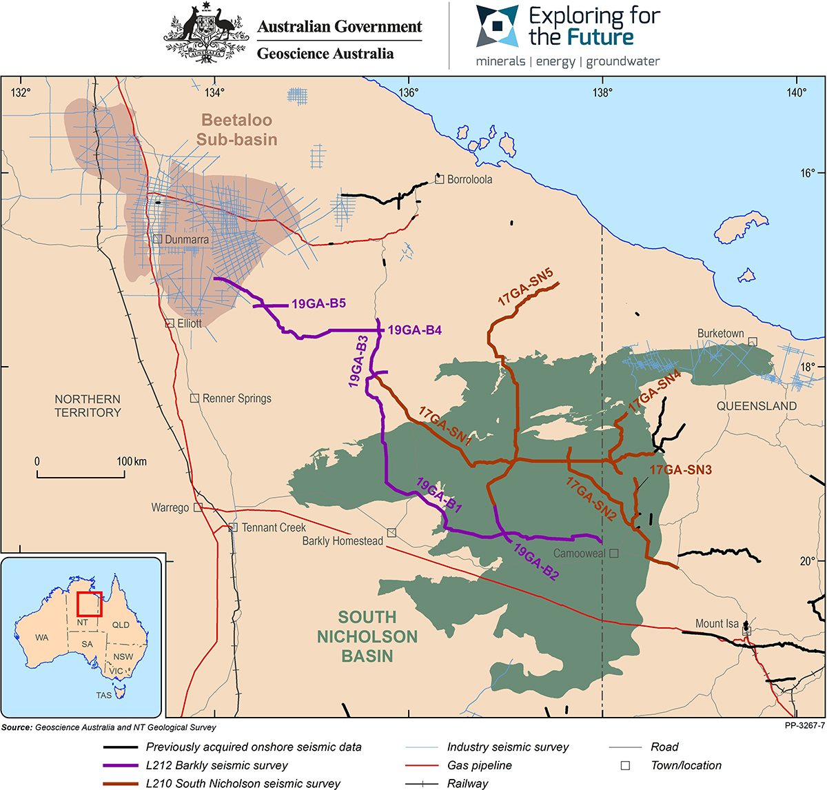
Location map showing seismic data collection in the Northern Territory.