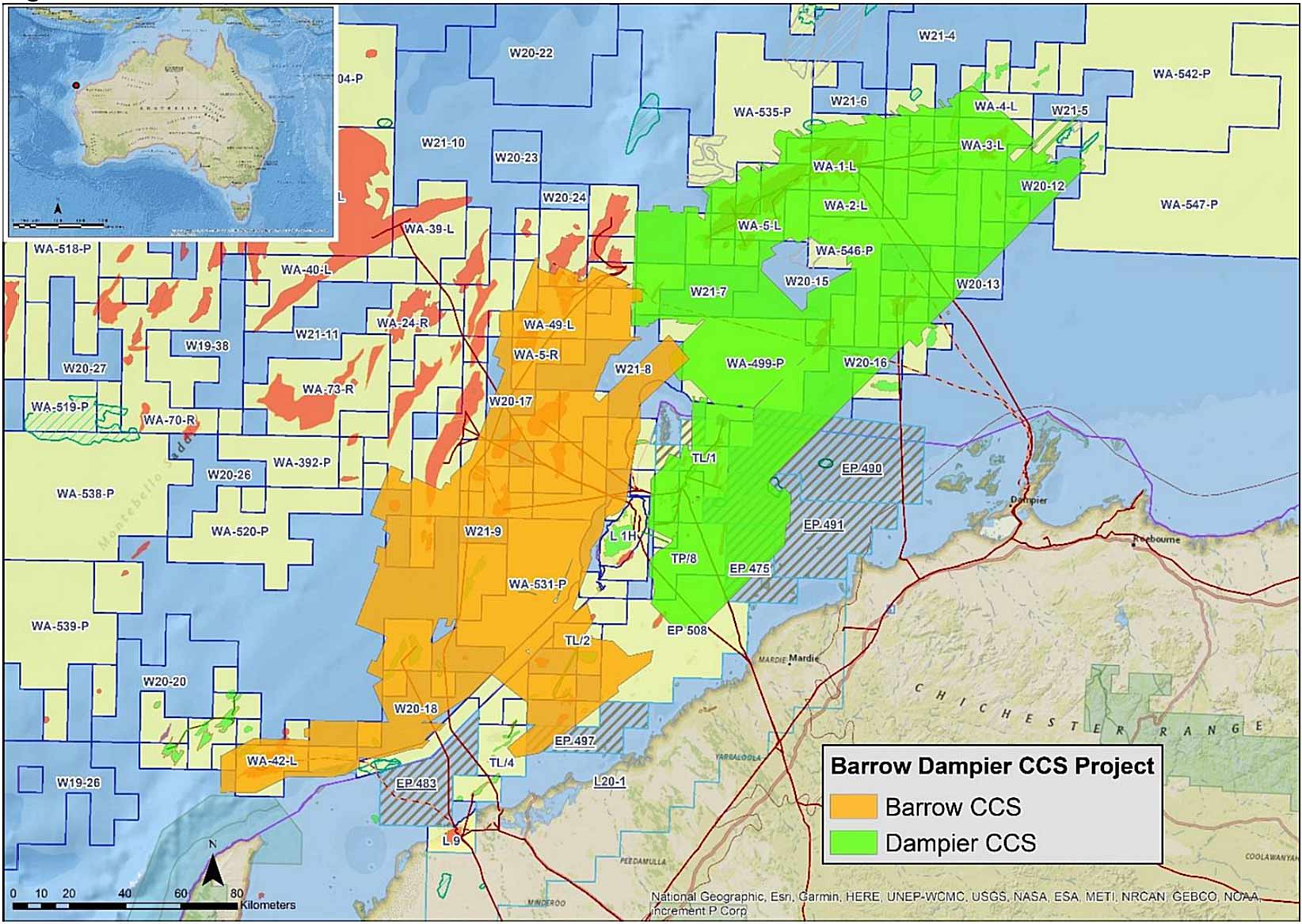
As part of a regional study of the carbon capture and sequestration prospectivity of the Barrow and Dampier Sub-basins of the Carnarvon Basin (Fig 1., Table 1), the Barrow-Dampier CCS PreSDM Repro 2022 3D data is the result of reprocessing of 29 marine 3D seismic surveys, covering approximately 26,150 km2. The dataset consists of various data volumes from Pre-stack depth imaging, from field tape, and the processing report. The data underwent pre-processing, velocity model building and anisotropic pre-stack depth migration by SLB Geosolutions.
Primary processing objectives included:
- Production of a high quality, seamless 3D volume in TWT and depth for regional seismic mapping and use in a regional carbon storage screening study.
- Reprocessing the data with modern broadband processing workflows.
- Detailed earth model building to provide accurate depthing, improved fault imaging and positioning.
- Improved conformance between hydrocarbon bearing intervals and structure.
- Improved imaging through the shallow Tertiary carbonate section.
- Bandwidth broadening for reservoir characterization studies.
- Amplitude preservation, optimum gather denoise, demultiple and event alignment to maximise angle range to be utilized for AVO studies.
The high-resolution inversion-ready final volume (Fig.2, Fig. 3) underwent numerous advanced processing workflows, these include; broadband processing (Adaptive de-ghosting), Deterministic Water-Layer Demultiple (DWD), General Surface Multiple Prediction (GSMP), Omega Matching Pursuit Fourier Interpolation (MPFI), Multi-azimuth Full-waveform inversion (MAZ FWI), MAZ imaging and Kirchhoff Data Mapping (KDM).
The data, including the raw and final migrated angle stacks, velocity model, AVO products and migrated gathers, are available from ausgeodata@ga.gov.au. For details on these please refer to ENO0810814 in NOPIMS.
Pre-stack Depth Migration Reprocessing of 29 3D surveys covering 26,150 km2 to improve understanding of CCS in offshore Northwest Australia.