Antarctica
Page last updated:15 February 2022
Antarctica usually conjures up images of a vast white wilderness, but its geology is a window into some of the earliest years of the Earth. Rocks and sediments also provide insight into recent climate change that scientists can use to predict likely future scenarios. The cold depths of the surrounding oceans are home to coral reefs and bizarre sea creatures, and the rugged sea floor alters the course of ocean currents that span the globe.
The Australian Antarctic Territory (AAT) covers more than the combined area of Queensland, New South Wales, Victoria, and South Australia. With 11,200 km of coastline, and a marine jurisdiction extending over 2.2 million km2, the AAT represents almost a third of Australia’s confirmed land and marine jurisdictions.

GA applies for ship-time on our research vessels to undertake marine research in collaboration with our partners. RV Investigator off the Sabrina Coast in 2017. Credit: CSIRO.
Geoscience Australia provides geoscience advice to support Australian activities in Antarctica and the goals for Antarctic science set out in the Australian Antarctic Science Strategic Plan and Australian Antarctic Strategy and 20 Year Action Plan. We undertake geoscience research in terrestrial and marine environments to provide the evidence needed by decision makers to protect Antarctic landscapes, habitats, and ecosystems and to anticipate the impacts of climate change and human activity.
We collaborate with external organisations and partners to undertake multidisciplinary work. We are a partner in the Australian Antarctic Program Partnership and two ARC Special Research Initiatives: Securing Antarctica’s Environmental Future (SAEF) and the Australian Centre for Excellence in Antarctic Science (ACEAS).
We are also leading work on landscape vulnerability to understand human impacts on ice-free environments and how we can remediate existing impacts and prevent unnecessary damage in the future.
In collaboration with external researchers, we produce a special edition geological map series of selected onshore areas incorporating legacy data. These maps can provide insights to the role geology plays in ice sheet dynamics and landscape vulnerability. We also house a large collection of geological and geophysical data and geological samples, maintaining a repository of rocks and sediment samples collected by Australian Antarctic expeditions dating back to the 1950s.
In the marine realm, we undertake research to map, characterise, and understand seabed environments. This work helps identify vulnerable marine ecosystems, assess habitat diversity and distribution, and builds understanding of past ice sheet dynamics. This research also provides fundamental information for better protection of these environments by the Commission for the Conservation of Antarctic Marine Living Resources (CCAMLR).
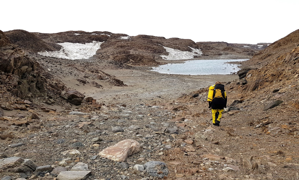
GA’s terrestrial work in the AAT helps manage human impacts on fragile ice-free environments. Credit: S. McLennan.