News
Australia and Papua New Guinea
Published:10 June 2026
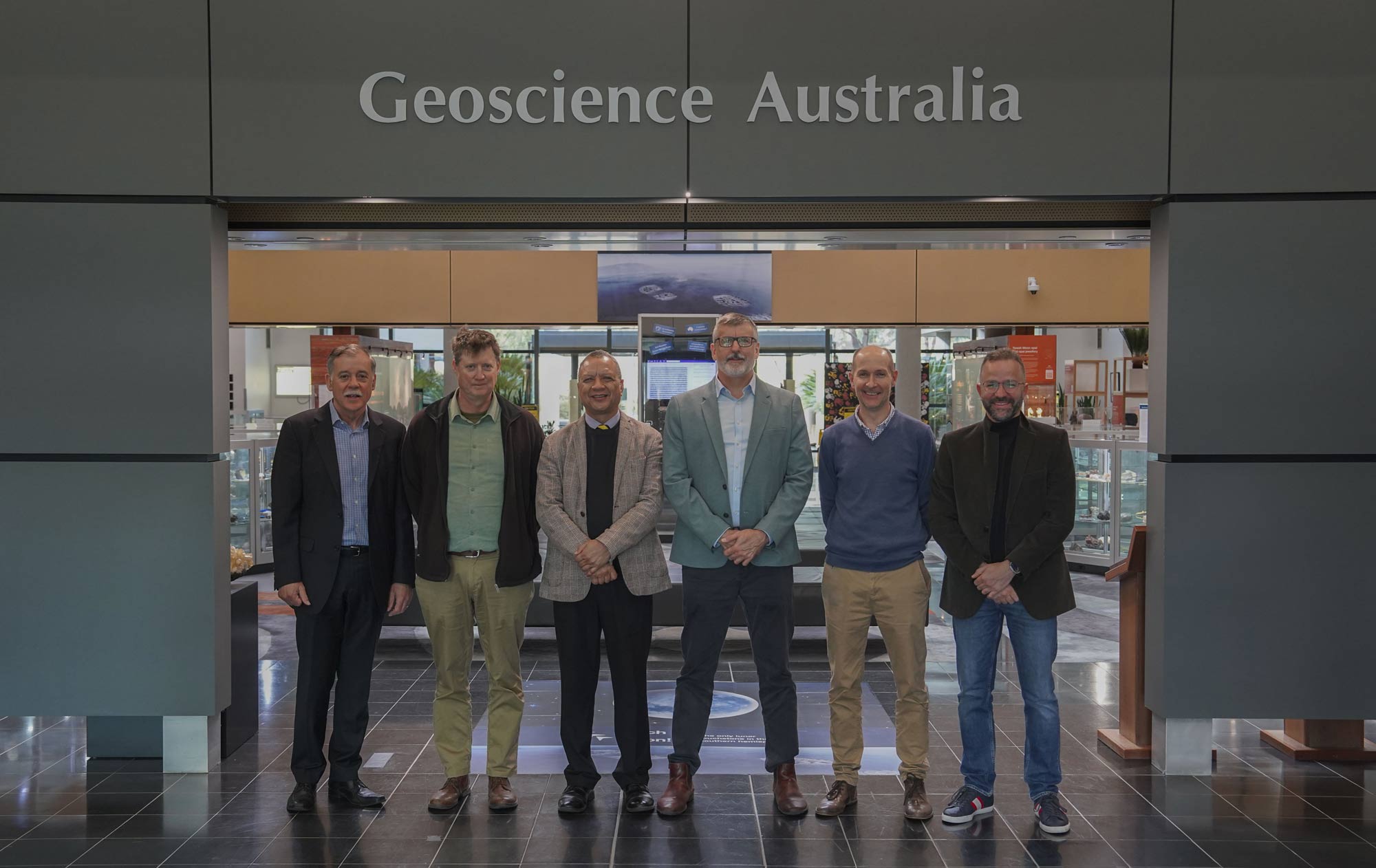
Left to right: Mark Edwards, Dylan Kendall, Professor Ora Renagi, John Dawson, Jonathan Bathgate, Hadi Ghasemi
Collaborative science helping communities prepare for earthquakes
Papua New Guinea lies within one of the world’s most active and complex tectonic regions. While earthquakes cannot be predicted or prevented, timely and accurate information can help authorities and communities prepare, respond and reduce their impacts.
In Lae, one of Papua New Guinea’s major economic centres, Geoscience Australia is working with Papua New Guinean scientists, authorities and communities to improve understanding of earthquake hazards and strengthen local preparedness.
Last week, Geoscience Australia welcomed Professor Ora Renagi to its Canberra headquarters to discuss this collaborative work. Professor Renagi is Vice Chancellor of the Papua New Guinea University of Technology, based in Lae, and a distinguished scientist and leader in community safety in the region.
Professor Renagi’s visit marks an important step in the development of LaeShakeAware, a collaborative project being delivered in partnership with Papua New Guinean organisations and communities.
‘Our visit to Geoscience Australia highlights the value of collaboration in addressing national challenges,’ Professor Renagi said.
‘The Papua New Guinea University of Technology is committed to fostering knowledge, innovation and programs that benefit communities across Papua New Guinea. We are eager to partner with Geoscience Australia to support these goals and contribute to national development.’
Geoscience Australia Senior Seismologist Dr Hadi Ghasemi said LaeShakeAware was being developed in partnership with the Mineral Resources Authority of Papua New Guinea and the Papua New Guinea University of Technology.
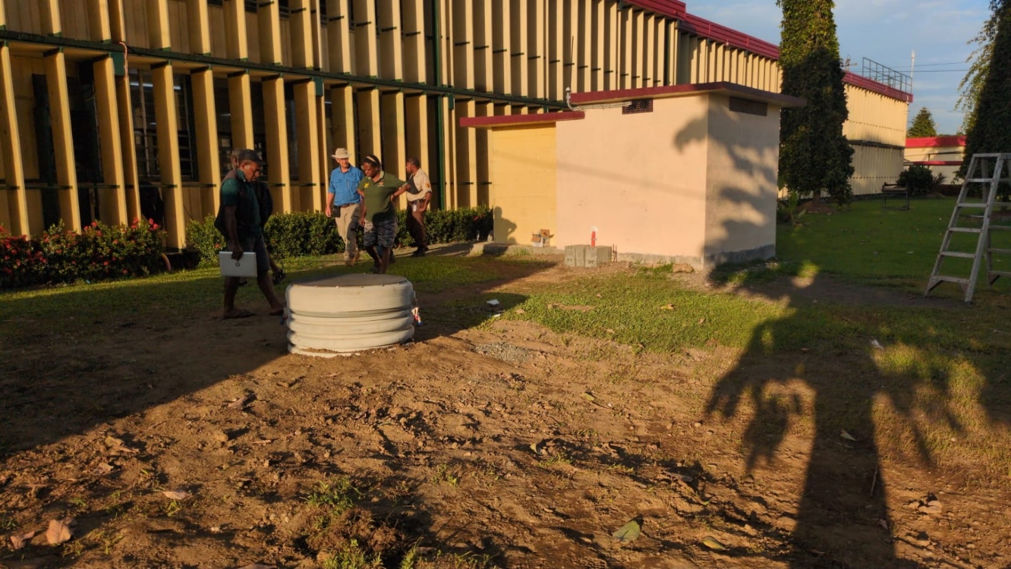
Lae National Earthquake Monitoring Station at UniTech, established in collaboration with MRA, UniTech and Geoscience Australia
‘The project is developing a tool that will provide near-real-time maps of shaking intensity following significant earthquakes in Papua New Guinea, usually within 30 minutes of an earthquake occurring,’ Dr Ghasemi said.
‘This will help local authorities, emergency managers and communities make informed decisions about how best to respond.’
LaeShakeAware is based on ShakeMap, a tool used in Australia to support emergency management responses following earthquakes.
‘Given the different seismic conditions in Papua New Guinea, LaeShakeAware will be tailored to local settings by integrating data from monitoring networks across the Lae region with insights from local communities,’ Dr Ghasemi said.
‘It will also build on our recent collaboration with Papua New Guinean partners, including the Papua New Guinea University of Technology. Together, we have completed microzonation surveys to model local ground conditions and undertaken detailed studies of earthquake sources in the region.’
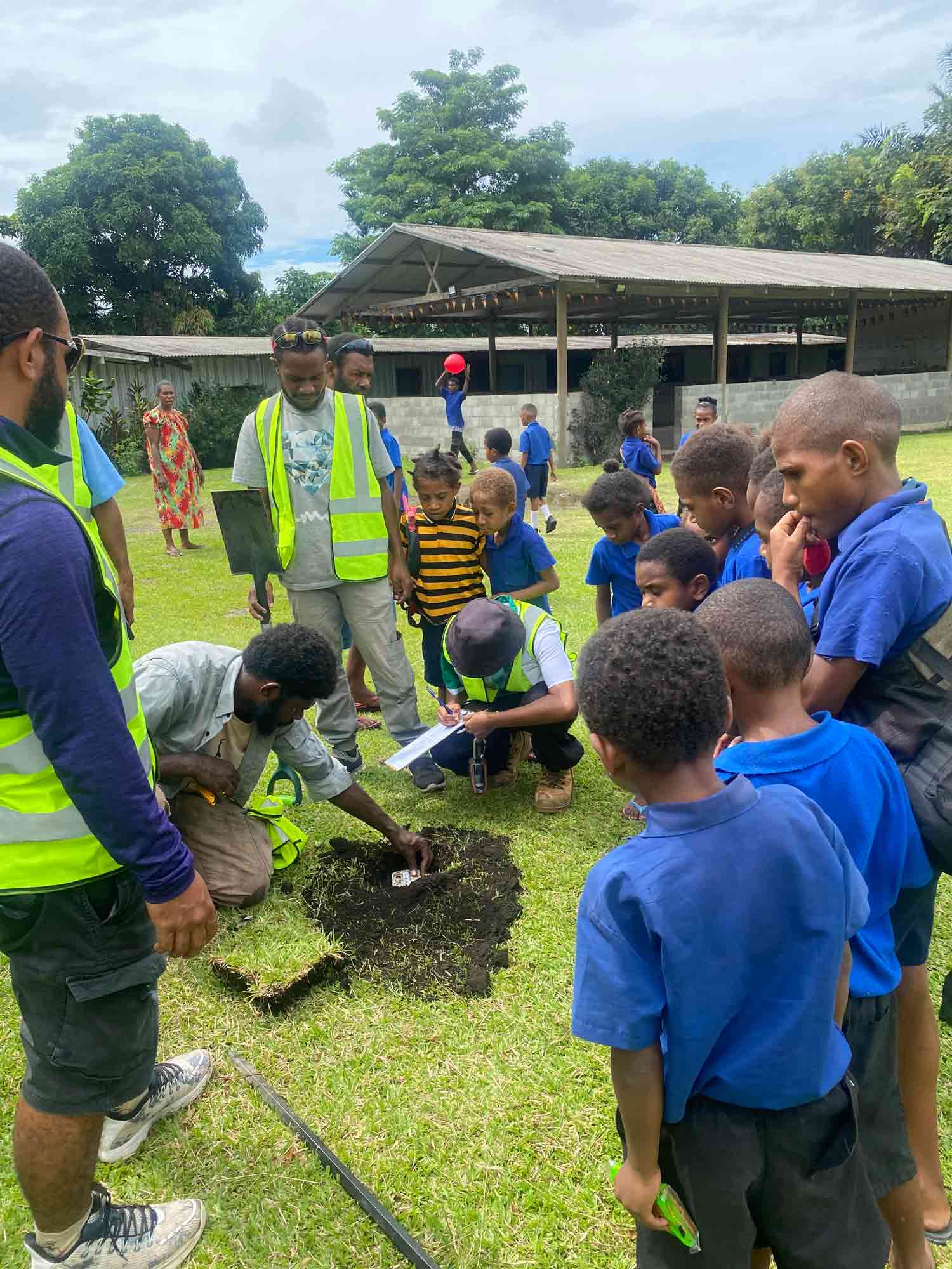
Microzonation survey in action: UniTech colleagues working with the community in Lae to map local ground conditions in preparation for the project. Image: Geoscience Australia
Dr John Dawson, Head of Geoscience Australia’s Community Safety Branch, said the Papua New Guinea University of Technology had been an important partner throughout the project.
‘It is a privilege to welcome Professor Renagi to Geoscience Australia,’ Dr Dawson said.
‘The Papua New Guinea University of Technology has been an invaluable partner in the work undertaken so far, and we look forward to continuing to work with Professor Renagi and his team as the project moves into its next stage.’
‘We are very grateful to the Australian Government Department of Foreign Affairs and Trade for making this project possible,’ Dr Dawson added.
The PNG Disaster Centre and local authorities in Lae have also been key contributors to the project.
‘LaeShakeAware will give local and provincial disaster authorities and communities fast, reliable information following an earthquake,’ Dr Dawson said.
‘Local authorities have been involved from the early stages of the project to help ensure we are developing a tool that will work for them.’
Community involvement will also be central to the project.
‘Information from LaeShakeAware will be available to people in the community as well as to government agencies,’ Dr Ghasemi said.
‘The more information people have, the better they can understand the risks they face and the more effectively they can take steps to improve their safety.’
Community engagement and training activities will be conducted in Lae throughout 2026 and 2027. The project will also provide training for students from the Papua New Guinea University of Technology, helping to develop the next generation of Papua New Guinean earthquake-science and disaster-risk specialists.
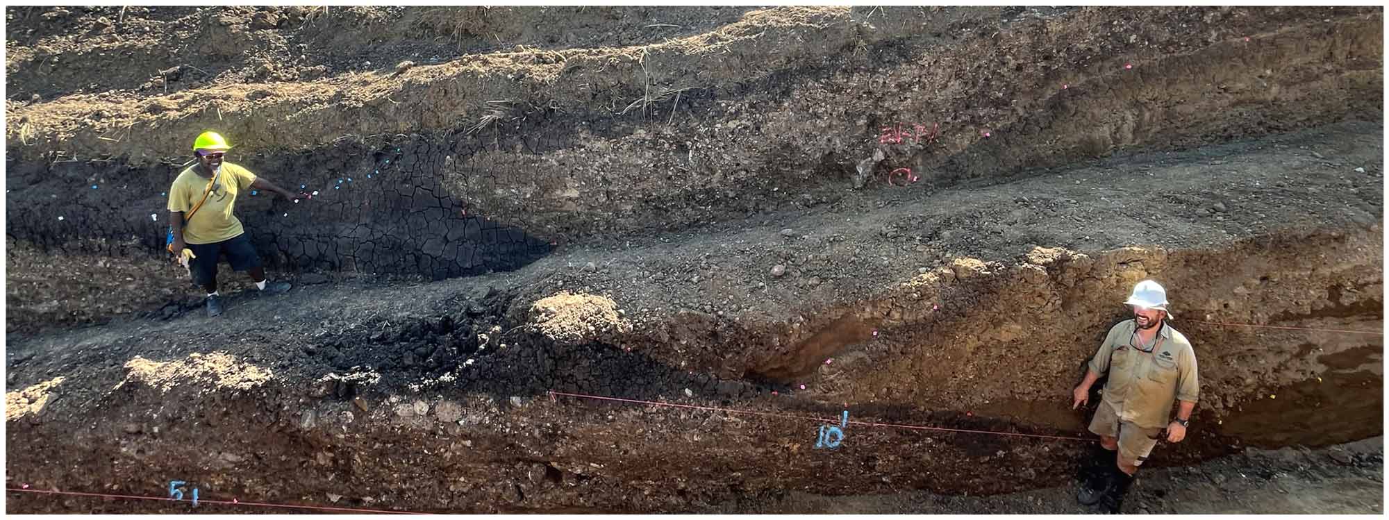
Leo Jonda (L) and Dan Clark (R) during trenching activities near Lae, 2025. Trenching work helps us to understand the impacts of past and future earthquakes. Image: Geoscience Australia
Dr Dawson said the project was the latest chapter in a longstanding scientific partnership between Australia and Papua New Guinea.
‘We have worked alongside local experts in Papua New Guinea for more than 100 years, and this long-term collaboration has delivered significant benefits for both countries,’ Dr Dawson said.
‘The lessons we learn through this partnership also help us better understand and address similar challenges in Australia.'
Explore the Australia-Papua New Guinea earth science partnerships
A photographic exhibition celebrating the longstanding earth science partnership between Australia and Papua New Guinea is on display at Geoscience Australia’s Canberra headquarters until September 2026. The exhibition is open to the public during business hours, Monday to Friday.