News
New seabed mapping voyage to strengthen Australia’s marine data on the east coast
Published:16 July 2026
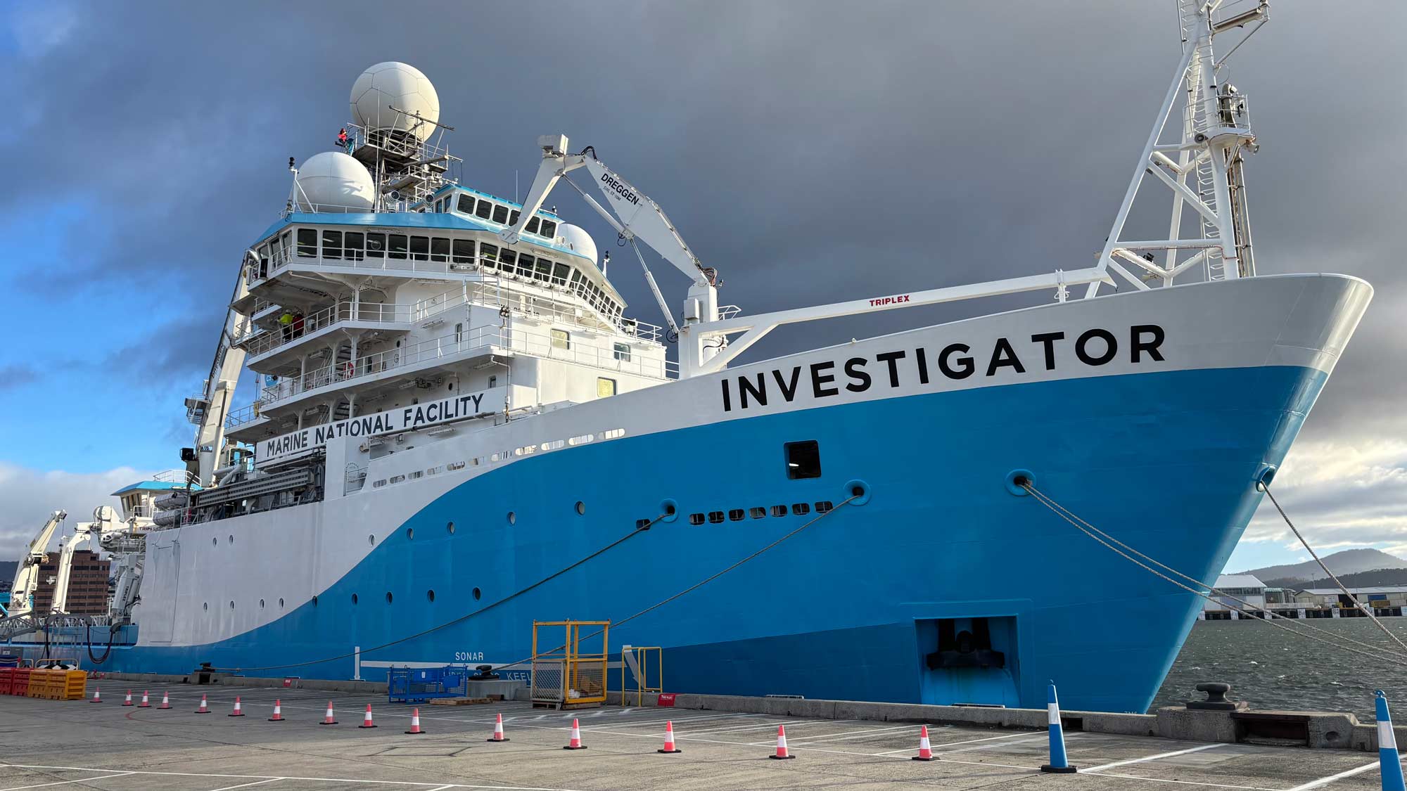
RV Investigator in Hobart before departure. Credit: CSIRO
Geoscience Australia is participating in a voyage aboard the CSIRO research vessel (RV) Investigator between Hobart and Brisbane from 16 to 22 July to collect new seabed mapping data and improve the quality of Australia’s national seabed mapping coverage.
This is the first offshore data acquisition as part of the Australian Government’s Resourcing Australia's Prosperity initiative, being undertaken in partnership with the CSIRO Marine National Facility and James Cook University.
Geoscience Australia Marine Geophysicist Steph Joyce is a Principal Investigator on the voyage, with Geoscience Australia Marine Geoscientist Kate Purdon also participating. They will support the seabed mapping activities and ensure the newly acquired bathymetric data contributes to Australia’s national marine mapping priorities.
Led by Dr Rob Beaman AM from James Cook University, scientists on the RV Investigator will map the seabed along an approximately 2,200km transit to collect around 40,000km2of high-quality data – an area equivalent to more than half of Tasmania.
The project under Resourcing Australia’s Prosperity will focus on collecting modern, high-resolution bathymetric data along a section of seabed where existing information is comparatively low quality, despite being traversed regularly by both commercial and research vessels.
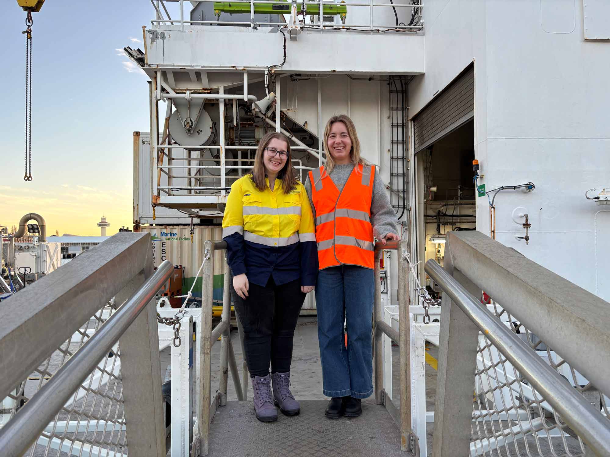
Geoscience Australia Marine Geophysicist Steph Joyce and Marine Geoscientist Kate Purdon onboard the CSIRO RV Investigator in Hobart before departure. Credit: CSIRO
Covering eastern Australia and the Tasman Sea Basin, the mapping survey will retrace the path of the 2002 voyage conducted by United States research vessel RV Maurice Ewing from Hobart to Guam, which was only able to generate low-quality data, especially in deeper waters.
The survey will use RV Investigator’s Kongsberg EM124 multibeam echosounder system to collect contemporary, high-quality seabed measurements to replace these older datasets and provide a clearer picture of underwater features across the survey area through new 3D insights.
Dr Jodie Smith, Geoscience Australia’s Branch Head of Oceans, Reefs, Coasts and the Antarctic, said modern seabed mapping is critical to support decision-making about offshore renewable energy potential and management of Australia’s marine environment.
‘Nationally-consistent seabed maps support a broad range of applications and are essential to support the sustainable management of Australia’s marine environment,’ Dr Smith said.
So far, Australia has mapped less than 40% of its maritime jurisdiction to a resolution suitable for ocean management.
‘We’re working with partners including CSIRO to close the gaps, bring seabed mapping to a modern standard and reveal the features hidden beneath the ocean. This work will provide the evidence base needed to inform marine planning and management decisions and support Australia’s transition to net zero,” Dr Smith said.
New data collected during the voyage will also help update and improve the national-scale Australian Bathymetry and Topography (AusBathyTopo) grid, Australia’s flagship national bathymetric dataset, providing a more accurate understanding of the seabed. The survey will build on recent upgrades to Australia’s seabed mapping products, helping deliver increasingly detailed and contemporary representations of the nation’s marine environment.
Geoscience Australia, through its Memorandum of Understanding with the General Bathymetric Chart of the Oceans (GEBCO)-Nippon Foundation Seabed 2030 project, also ensures all new survey data is incorporated into global seabed mapping products that improve understanding of the world’s oceans.
The Hobart to Brisbane seabed mapping is supported by a grant of sea time on RV Investigator from the CSIRO Marine National Facility.
Related links