News
Unlocking insights on Australia’s people and economy
Published:20 December 2023
Valuable location data on Australia's population and economy is now available to explore, visualise and analyse in the Digital Atlas of Australia. This exciting initiative is the result of a collaborative partnership between the Australian Bureau of Statistics (ABS) and Geoscience Australia to geospatially enable a range of ABS data and make it easy to access and use through the Digital Atlas. This joint effort aligns with the mission of the Digital Atlas to enhance access and use of location data, empowering better-informed decisions.
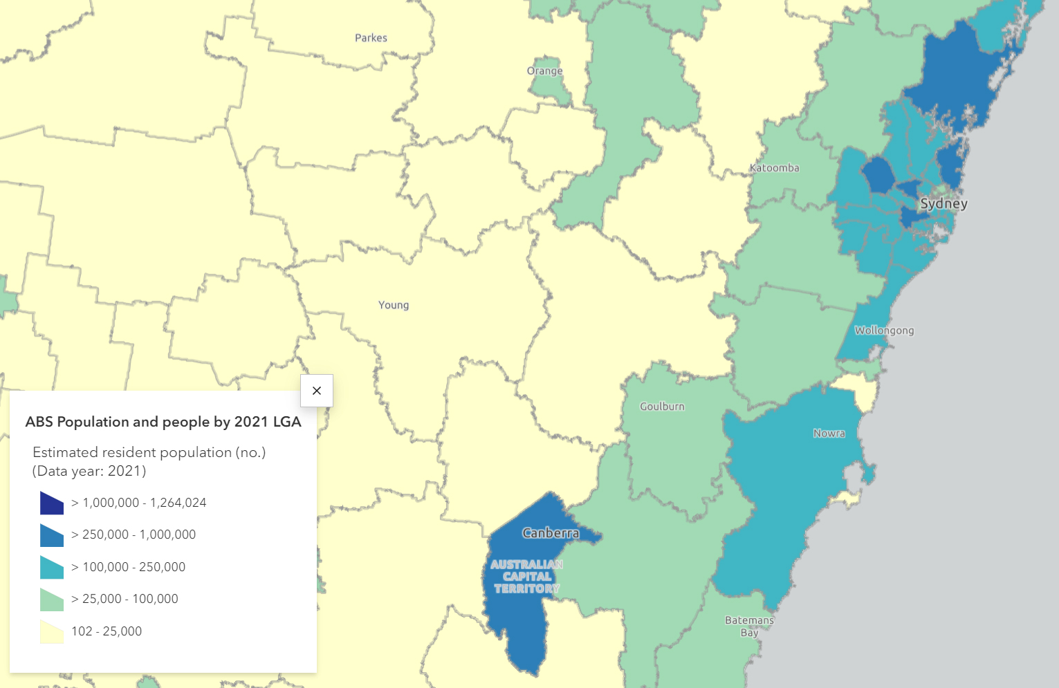
Since the Digital Atlas public beta release in June 2023, 93 web services and thousands of data items from the ABS have been made available. Data is aggregated to a range of geographies including Local Government Area (LGA) and Statistical Area Level 2 and encompasses demographics, socioeconomic indicators, and economic activities.
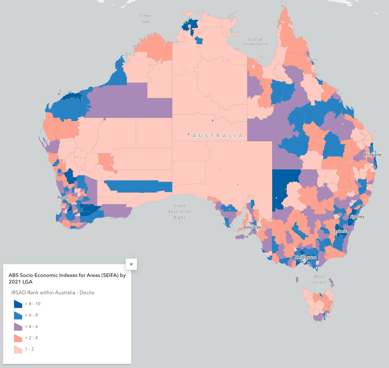
As the ABS continues to spatially enable more of their data it will be made available to access and use in the Digital Atlas. A recent release in December 2023 included datasets such as the Socio-Economic Indexes for Areas (SEIFA) and the Australian population grid 2022.
With data delivered through web services, users can effortlessly access up-to-date geospatially enabled information directly from the cloud, eliminating the need for manual data linking or separate file downloads. This streamlined approach empowers users to extract valuable insights and make informed, data-driven decisions.
The integration of ABS data within the Digital Atlas unlocks immense potential across sectors by enabling the combination of ABS data with other valuable location information. This integration empowers governments, businesses, and the public to gain deeper insights and make better-informed decisions. Industries such as infrastructure development, urban planning, and regional growth can leverage integrated data to drive progress and address complex challenges.
The Digital Atlas of Australia is key to advancing geospatial capability for our nation. By providing a comprehensive and reliable platform for accessing and using location data, it enhances the government's ability to curate and connect data across borders, leveraging location-based insights for better-informed and more effective policy decisions, leading to better outcomes for Australians.
Geoscience Australia continues to collaborate with the ABS and other government partners to expand the range of curated, trusted data available in the Digital Atlas, ensuring that it remains a forefront resource for geospatial innovation and provides users with the most up-to-date and valuable information.