Satellite imagery at work Agriculture
Page last updated:23 October 2024
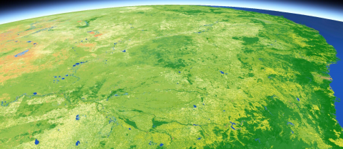
Big data for a big country
For decades satellites have captured the stories of Australia’s rural sector, driving growth through innovations in science and technology.
Today, graziers and farmers are in prime position to reap the rewards of Earth observation.
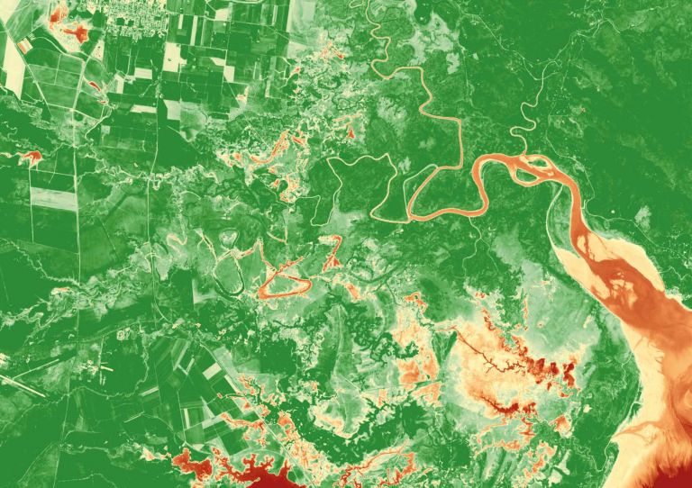
Our imagery and data products enable land managers and agricultural producers to analyse vegetation health, water availability, drought conditions, flood and bushfire patterns.
We collaborate with agritech innovators, universities, government and communities to bring satellite insights to the heart of Australia’s agriculture sector.
Want to get our data working for you?
Harvesting the benefits of Earth observation
Unlock the potential of our data for your agricultural needs. Earth observation holds significant opportunities to deliver productivity benefits into Australia’s agriculture sector.
While the full potential for satellite technology to achieve high yields is yet to be realised, our report findings indicate there is fertile ground for substantial growth.
Satellite data for pasture productivity
Queensland company Cibo Labs draws on DEA data to help graziers manage more than 20 million hectares profitably and sustainably.
Links to DEA products
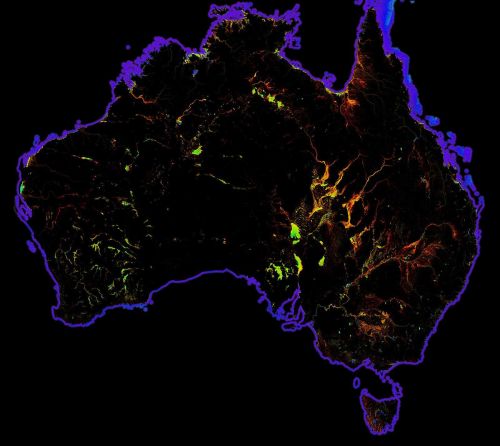
DEA Land Cover
Satellite data insights into land, vegetation, and waterbodies changes down to every square 30 metres across Australia since 1988.
DEA Water Observations
Continent-scale map of surface water that classifies each pixel from Landsat satellite imagery as wet, dry or invalid.
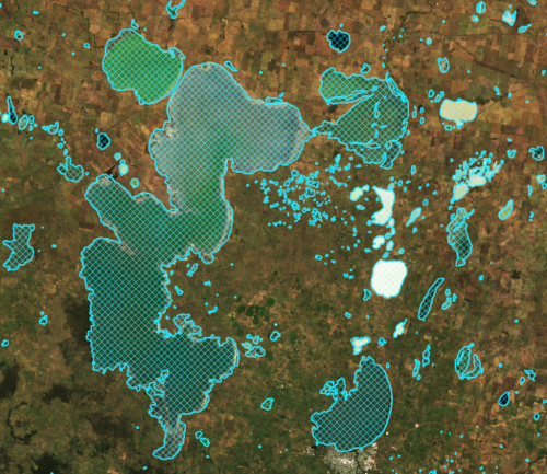
DEA Waterbodies
View the mapping of more than 300,000 waterbodies across Australia with wet surface area present more than 10% of the time.
DEA GeoMAD
A geometric ‘average’ based on culminative statistical data from each year.
DEA Surface Reflectance
Baseline data from Landsat and Sentinel-2 satellites, validated, calibrated and adjusted for Australian conditions.