Derived data product DEA Mangrove Canopy Cover
Page last updated:29 April 2026
See mangroves on the move
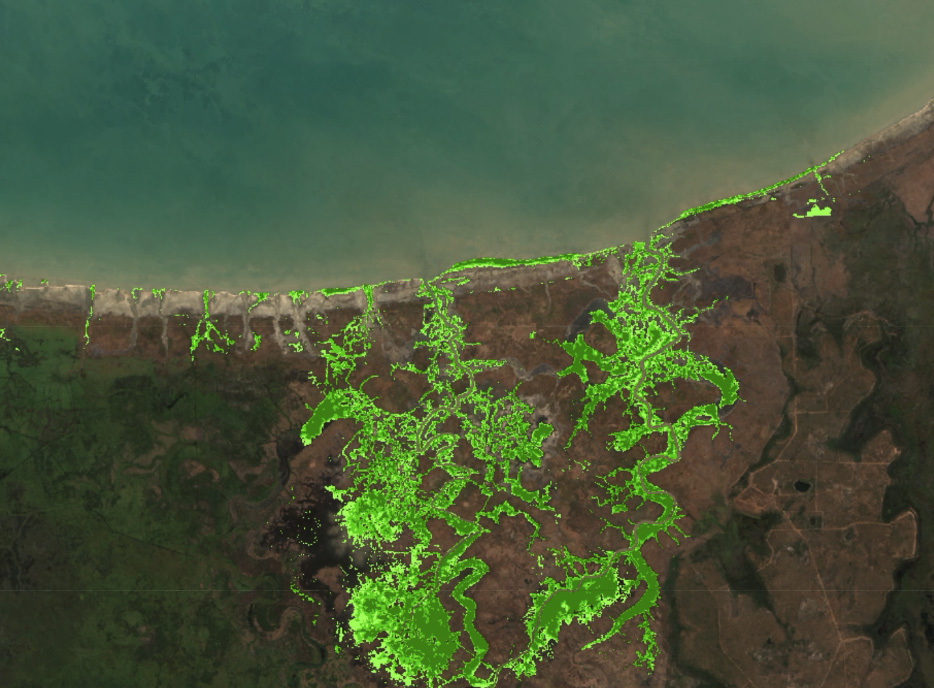
Tracking changes in the extent and canopy density of mangroves, Digital Earth Australia (DEA) Mangrove Canopy Cover reveals how these extraordinary trees may be responding to sea level rise, severe tropical cyclones, drought, climatic cycles, changing temperatures and large storm events.
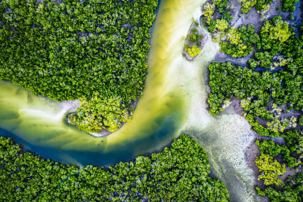
Mangroves not only act as nursery grounds for commercially important fish and prawns, and habitat for birds, they’re also critical to coastal protection and carbon storage.
The product provides a sequence of 30 m resolution annual maps and breaks canopy into three classes according to the greenness of satellite image pixels.
Why monitor mangroves with satellites?
- Get visibility on remote and inaccessible mangrove outcrops
- Measure and track the diverse ecosystem benefits of mangrove forests
- Help to translate the economic benefits of mangroves into policy
- Improve understanding of how mangroves adapt to and recover from environmental events
Imagery for impact Mangroves on the move
Thirty years of Landsat data maps the nationwide movement and migration of Australia’s mangrove forests
Related resources
Journal Article
Mapping the multi-decadal mangrove dynamics of the Australian coastline.