Satellite imagery at work Emergency management
Page last updated:27 September 2024
Satellites: eyes in the sky through fire and flood
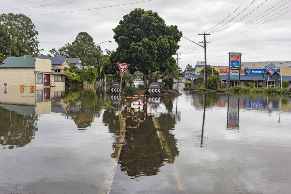
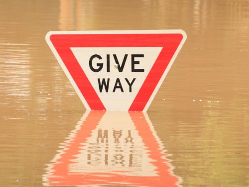
Natural hazards are occurring at unimagined scales across Australia, in unprecedented combinations and in unexpected locations. Climate change is driving many of these severe events.
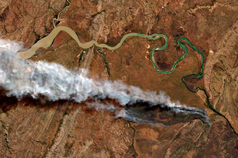
The use of satellite imagery and data to help emergency services plan for and respond to these hazards — especially fire and flood — is a driving force behind Digital Earth Australia.
Our imagery and data help model fire risk indicators, contribute to weather observations and forecasts, map land cover, investigate water quality and availability, assess fires and flood impact, and contribute to hazard planning, response, and recovery efforts.
Want to see more?
Copernicus Emergency Management System
In times of crisis Australia can gain rapid access to satellite imagery and information products from satellite data operators around the world to assist our emergency managers.
Geoscience Australia coordinates activation of the International Charter: Space and Major Disasters and the European Union’s Copernicus Emergency Management Service (CEMS) on behalf of National Emergency Management Australia and state emergency services.
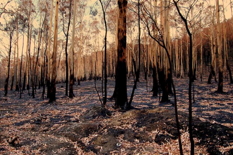
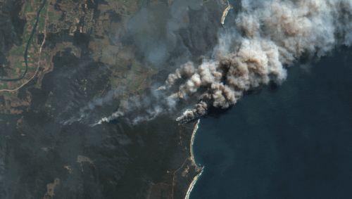
Landsat at hand during Black Summer
The 2019–20 bushfire season was the worst New South Wales has ever recorded. Over the course of a few months, 5.5 million hectares of land was burnt, claiming the lives of many people and upwards of a billion animals.
Our long-term partnership with the United States Geological Survey (USGS) meant we could make vital satellite imagery available to emergency services.
Related Resources
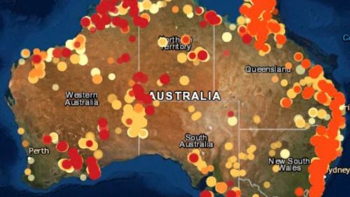
DEA Hotspots
DEA Hotspots is a national bushfire monitoring tool detecting areas of unusually high temperatures for use by emergency services.
DEA Bushfire Burnt Area NRT Services
Use DEA’s freely available data and products to examine, investigate, delineate and track burnt areas across Australia.
Bushfire Earth Observation Taskforce
The Australian Space Agency explores the role of Earth Observation information in planning, response and recovery for bushfires.
Geoscience Australia for Community Safety
Discover how other programs of Geoscience Australia are informing work on bushfires, floods, earthquakes and cyclones.