Agriculture
Page last updated:14 March 2025
The agriculture sector has historically been of great economic importance for Australia, and now more than ever requires efficient and sustainable farming solutions. Space-based positioning has been used in agriculture for over 25 years but the need for more precision is growing. Positioning Australia is delivering the precise positioning capability that Australian farmers need to manage their land, crops and livestock more effectively.
A trial of SouthPAN’s accurate positioning technology, known as the Satellite-Based Augmentation System (SBAS) test-bed project, ran between 2017 and 2019 to assess the economic, social and environmental benefits of improved positioning technology through a range of industry demonstrator use case projects. These projects tested how SouthPAN could improve existing technologies, or give rise to new innovation, across the economy. SouthPAN’s SBAS test-bed included 27 demonstrator projects across ten industry sectors including agriculture, aviation, construction, consumer, resources, road, rail, maritime, mining and utilities.
This was led by Geoscience Australia in partnership with the New Zealand Government’s Toitū Te Whenua Land Information New Zealand and managed by FrontierSI.
Improves yield and reduces waste
Precise positioning technology enables tractors to be accurately guided along designated wheel tracks, maximising the cropping area and, as a result, improving yields. It allows seeds to be sown precisely between rows, meaning inputs such as water, fertiliser and herbicide can be applied directly over the crop with less wastage. This negates the need to clear crop stubble from previous harvests, bringing additional cost savings to the farmer. There is also less risk of chemicals entering waterways and degrading water quality. Following the same wheel tracks means there is less damage to the soil.
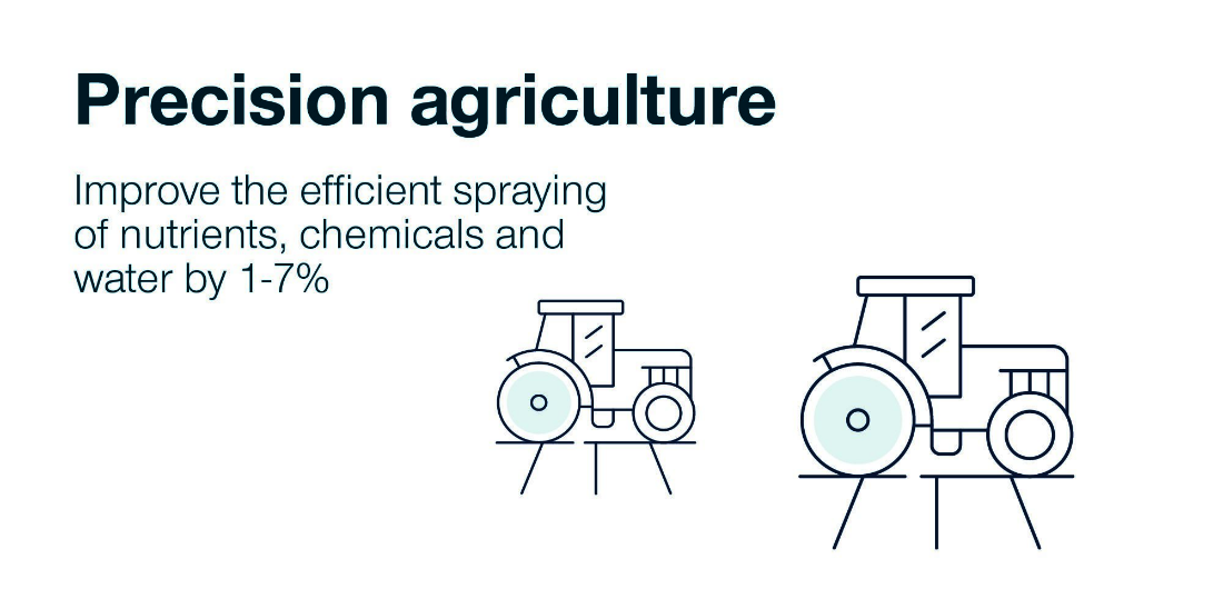
Improve the efficient spraying of nutrients, chemicals and water by 1-7%
Saves livestock
Reliable positioning technology can allow farmers to adopt fenceless farming techniques that enhance pasture management. Virtual fencing that uses precise positioning technology provides Australian farmers with information to track livestock and can be used to identify changes in animal behaviours such as movement patterns that may show if the animal is unwell, agitated or giving birth.
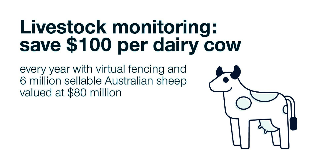
Save $100 per dairy cow each year with virtual fencing and 6 million sheep valued at $80 million
Reduces labour hours
Within the forestry sub-sector, geo-tagging, mapping and surveying when enabled with precise positioning technology reduces labour time. Through improving strategic harvest planning and post-processing times for the mapping of forestry road routes, the hours saved also reduces the number of health and safety incidents as less time on sites is required.

Avoidance of 2700 health and safety incidents in the forestry sub-sector
Growers to reap the benefits of positioning technology
For an industry that has always embraced innovation and new ways of improving efficiencies, the benefits of precise positioning technology is an exciting improvement for Australian farmers. Independent agriculture research organisation Kondinin Group tests machinery, equipment and technology to provide farmers information for informed buying decisions and recently trialled the Satellite-Based Augmentation System (SBAS) Test-bed.
After testing SBAS in a range of operating conditions on farms around Australia, Kondinin Group General Manager of Research, Ben White, saw better than expected results and a huge scope for the application of SBAS for the agriculture sector.
We had a chat with Ben to discuss the value that access to more accurate positioning data will bring grain growers and farming operations.
“Our SBAS project has demonstrated benefits for broadacre farming including seeding, spraying, spreading and harvesting, including controlled traffic operations” says Ben. “I see this more precise positioning technology reducing input costs for farmers while maximising yields and improving soil structure.”
Trialling SouthPAN’s SBAS test-bed for farmers
Working with independent farmers, Kondinin Group evaluated SouthPAN’s SBAS test-bed in conditions farmers typically used in the broadacre cropping sector. Running on a range of farming machinery, including a Real-Time Kinematic (RTK) guided autonomous tractor, the high accuracy positioning data demonstrated adequate repeatable accuracy for guiding machinery along permanent wheel tracks.
“The data we were getting was down to sub ten centimetre accuracy,” explains Ben. “An SBAS could replace all but the most accurate RTK systems with the level of precision required for most crop seeding, fertilising, spraying and harvest operations with minimal overlap.”
This allows seeds to be sown precisely and for fertiliser and herbicides to be applied precisely with less wastage. Precision chemical application will reduce the risk of off-target damage while controlled traffic farming has been demonstrated to reduce compaction and improve soil health.
The future of agriculture, autonomy and accurate positioning
A key benefit of SouthPAN is that it will lower the cost of entry to positioning technology for farmers. But Ben sees the benefits going much further saying, “the future of precision agriculture with an operational SBAS is unleashed applications, more operations and a wider array of machines connected, including autonomous equipment.”
“It will help manage land areas more efficiently and effectively and extract more yield out of the land we’re farming.”
With autonomy becoming more prevalent within the industry, we asked Ben what accurate positioning will add to the agriculture industry. “The applications of SBAS supercharges the benefits that we might get out of autonomy. The exciting thing for Australian farmers is that this technology potentially gives them a benefit on a world stage.”
CQUniversity
Project Title
Increased accuracy in on-animal spatio-temporal monitoring for livestock sensing applications
Organisations Involved
- Central Queensland University
- Lincoln University
- Signal ICT Graduate School
Project Summary
The use of spatial monitoring and management systems in the livestock sector is moving from research into commercial applications. There are now several farm ready systems available or in development that apply spatial data to improve animal management (e.g. smart ear tags and virtual fencing collars).
The use of GNSS as a positioning system has significant potential but is plagued by several issues, and one of the key problems is accuracy. Terrestrial location systems are currently preferred for some applications whilst the actual applications of some technologies (for example, virtual fencing collars and tags) are limited by the coarse spatial resolution that can be achieved with current GNSS.
This project examined the potential for SouthPAN to improve the accuracy of GNSS to facilitate the development of two key livestock monitoring and management applications: high resolution virtual fencing for strip grazing and improved behavioural modelling to parturition activity and lambing location in sheep. These two applications could provide significant production efficiency gains for the livestock sector but can only be achieved with improved accuracy available through SouthPAN. The project was a collaborative endeavour between leading research and industry organisations with field sites in both Australia and New Zealand.
Kondinin Information Services
Project Title
Establishing the practical application of and quantifying benefits for SouthPAN’s SBAS technology use in Australian grain production
Organisations Involved
- Kondinin Group
- Precision Agriculture
- Grains Research and Development Corporation
Project Summary
Kondinin Group together with Precision Agriculture and the Grains Research Development Corporation investigated the application of SouthPAN’s SBAS test-bed for operations in the production of grain, pulse and oilseeds. The project incorporated SouthPAN’s SBAS technology to farming operations including seeding, spraying, spreading and harvesting to quantify the applied accuracy for crop production purposes and determine specific requirements for the use of SouthPAN in these applications. With the looming advent of autonomy in farming, SouthPAN’s SBAS technology was also installed on autonomous farming equipment working in the field.
Plant and Food Research
Project Title
Geospatial resolution in vineyards
Organisations Involved
- Plant and Food Research
- UNSW Sydney
- SeeSaw Wines
- Whitehaven Wines
Project Summary
This project tested various geospatial technologies in a vineyard setting to investigate what geospatial resolution is possible, benefitting the development and adoption of precision viticulture technologies. Vineyards were mapped in multiple wineries in NZ by Plant & Food Research and in Australia by UNSW Sydney.
Venture Southland
Project Title
Real-time SouthPAN’s SBAS-assisted production forestry management and planning
Organisations Involved
- Venture Southland
- Southwood Export
- University of Otago
- FrontierSI
Project Summary
Efficient and timely production forestry management should be significantly enhanced through obtaining physical characteristics and attributes of the forest environment in real-time by practitioners in the field. Current satellite technological solutions are either too difficult and expensive, or too inaccurate to enable sufficiently accurate measurements to be made in the field, meaning that repeat visits to remote sites are required; subsequent disputes between clients and contractors concerning the areas of forest operations measured are not uncommon.
Additionally, the construction of forestry roads for harvesting trees is expensive. The current planning techniques for such roads are cumbersome. Accurate real-time topological measurements made in the field by forestry technicians as they consider roading options would significantly speed up the planning process and reduce construction costs through better adaptation of road designs to the environment. Unexpected topographical features could be quickly analysed and accommodated.
This project thus proposed to develop and evaluate SouthPAN’s SBAS technology and techniques for use by on-the-ground forestry technicians to measure land and forest characteristics in real-time, enabling the production of GIS shape-files on the fly. This included adapting a handheld device to take advantage of L1/L5 signals to deal with signal degradation from forest canopy, assisted by increased availability of satellites through using the Galileo constellation.
The project fell under the wider satellite-based Earth observation work carried out within Venture Southland's 'Earth AdVantage' research and development programme.
Corrigin Farm Improvement Group
Project Title
Putting SouthPAN’s SBAS in the hands of farmers
Organisations Involved
- Corrigin Farm Improvement Group
- ThinkSpatial
- University of New England
- Wheatbelt Science
Project Summary
The primary aim of this project was to demonstrate the positioning improvements offered by SouthPAN and Precise Point Positioning (PPP) to farmers for simple positioning tasks. It was expected that as a result of this project, producers would be able to adopt low-cost SouthPAN enabled GPS technology on their farm using existing off-the-shelf technologies.
Forestry Corporation NSW
Project Title
Operational use of SouthPAN in commercial forest management
Organisations Involved
- Forestry Corporation NSW
Project Summary
Forestry Corporation NSW and its contractors currently use GNSS for a range of operational and compliance activities associated with commercial forest management in both native forest and softwood plantations. Improvements in accuracy and reliability of GNSS signals could significantly improve operational efficiency, safety and compliance. This project tested availability and accuracy of SBAS L1 and DFMC signals in a range of forest environments. It also evaluated improvements in accuracy, compatibility with existing processes and equipment and the potential benefits in forest operations that currently use GNSS to determine location relative to operational and management boundaries.
Page Bloomer Associates Ltd
Project Title
Fit for purpose accuracy: SouthPAN GPS for horticultural farm management
Organisations Involved
- LandWISE
- GPS Control Systems
- Forest Value Recovery
- Hectre Group Ltd
- ThinkSpatial
Project Summary
This project demonstrated potential improvements in GNSS positioning accuracy using SouthPAN in various farming environments in New Zealand. It compared SouthPAN’s SBAS test-bed signal with commercial systems currently available (at different levels of accuracy). The economic benefit SouthPAN could bring the NZ agriculture sector was assessed by growers.
During this trial we showed growers the SouthPAN technologies to allow both static point location and kinematic guidance. Static location is beneficial for recording points of interest such as diseased plants, weeds and harvest bin location. Kinematic guidance allowed growers to track operations such as spraying, ensuring there were no missed plants or double ups.
For vegetable growers Real Time Kinematic (RTK) GPS is the gold standard as it gives them precise sub-metre positions. This precision is beneficial to help farmers locate the different rows of their crops, and points of interest such as diseased plants. While uncorrected signals are suitable for some farm applications, having access to highly accurate SouthPAN signals in affordable handheld devices will save time and increase outputs.
University of Tasmania
Project Title
Precision and accuracy of unmanned aircraft system for precision agriculture
Organisations Involved
- University of Tasmania
- Tasmanian Institute for Agriculture
- Australian UAV
Project Summary
This project aimed to demonstrate the absolute geometric accuracy that can be achieved with SouthPAN technology for ultra-high resolution remote sensing using unmanned aircraft systems (UAS or drones). The anticipated benefit was a low-cost, time-efficient and high accuracy GNSS solution for UAS mapping for precision agriculture. Data from these UAS's could be used in the future to apply water and fertilisers, as well as provide insights into crop health.
Contact
For further information on these projects:
Eldar Rubinov
SBAS Test-bed Technical Manager
FrontierSI (formerly the Australia and New Zealand CRC for Spatial Information)
Door 34, Goods Shed, Village Street, Docklands, VIC, 3008
Tel: +61 406 966 992
Email: erubinov@frontiersi.com.au
www.frontiersi.com.au
For all media enquiries:
Tel: 1800 882 035
Email: media@ga.gov.au