Consumer
Page last updated:14 March 2025
There are limitless applications of positioning technology that can help us in everyday life. Millions of phone applications rely on positioning information, as does emergency services, city navigation systems and utilities such as asset management.
A trial of SouthPAN’s accurate positioning technology, known as the Satellite-Based Augmentation System (SBAS) test-bed project, ran between 2017 and 2019 to assess the economic, social and environmental benefits of improved positioning technology through a range of industry demonstrator use case projects. These projects tested how SouthPAN could improve existing technologies, or give rise to new innovation, across the economy. SouthPAN’s SBAS test-bed included 27 demonstrator projects across ten industry sectors including agriculture, aviation, construction, consumer, resources, road, rail, maritime, mining and utilities.
This was led by Geoscience Australia in partnership with the New Zealand Government’s Toitū Te Whenua Land Information New Zealand and managed by FrontierSI.
Can improve community safety
Precise positioning will benefit Australians for a range of community applications. On a national scale it will enable emergency services staff to coordinate rescue efforts with minimal delay, for example the location of fire trucks and ambulances can be accurately monitored and guided to emergency situations along the most efficient and safest route. At the individual level, it enables assistive technologies for the visually impaired through improved city accessibility.
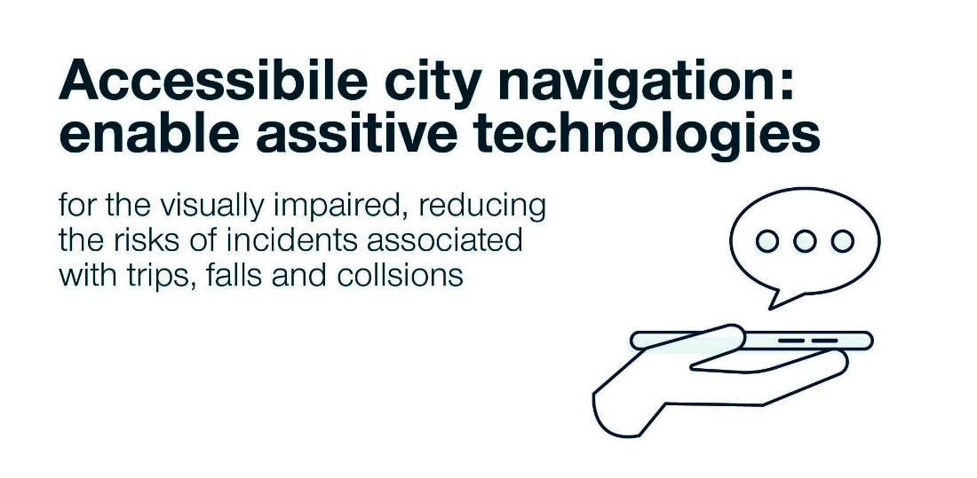
Enable assistive technologies for the visually impaired, reducing the risks of incidents associated with trips, falls and collisions
Can inspire new applications
In an expanding market for location-based applications on smartphones and other devices, access to more accurate and reliable positioning information will stimulate new and innovative uses of positioning information. A great example is the use of automated parcel delivery robots for the transport of goods between supplier and consumer.

Save 16 million labour hours with the use of automated parcel delivery robots
Improves utility services
Accurate and reliable information that is consistent across the nation allows for improved management of utilities. Transforming the ease and accuracy of identifying exactly where underground utilities are located improves timeliness, accessibility and affordability of asset management data.
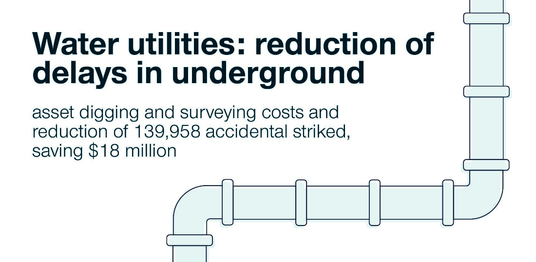
Reduction of delays in underground asset digging and surveying costs and reduction of 139 958 accidental strikes, saving $18 million
Knowing the location of a building entrance or the availability of a footpath are simple things healthy and abled people take for granted every day. But for people with impairments, travelling safely around urban and city areas is a challenge.
Queensland University of Technology (QUT) participated in SouthPAN’s SBAS test-bed trial. As part of the project QUT trialled SouthPAN to locate users and assist Australians who are visually impaired to travel from A to B safely. QUT Senior Lecturer in Civil Engineering, Dr Marc Miska, has seen this as a real breakthrough.
We sat down with Dr Miska to chat about the project and how it could greatly improve accessibility for not only visually impaired Australians but anyone in need.
“It’s a wake-up call for people in my industry to rethink how we enable people with impairments,” says Dr Miska. “There is great potential for improved positioning technology to make the travel experience safer, easier and more convenient.”
Communicating navigation through coded vibrations
While the transport industry strives to make access to public transport easier for visually impaired people, Dr Miska believes there are better ways for councils and governments to keep up with the requirements of diverse people.
“We worked closely with visually impaired Australians and the Gold Coast City Council to test the application using a haptic feedback belt that feeds information to the wearer through coded vibrations and controlled through a smart phone,” explains Dr Miska.
“Results found that precise positioning in the city would be impossible without SouthPAN and it will greatly improve accessibility in cities for little cost.”
Accessible cities for all Australians
This project is just one example of how widespread access to accurate and reliable positioning data is a catalyst for new and innovative technologies that will improve the lives of Australians.
The concept of a haptic belt is scalable to a wider user base than just visually impaired, providing real time data of where users can and cannot access within a city.
As cities continue to grow and change, we asked Dr Miska what he is most excited about with improved positioning for Australia. "It was a great experience being able to see first-hand how this technology can be used to conquer the challenges associated with navigating through the city and accessing positioning signals in these environments".
Orbica Limited
Project Title
Improving Australasia's field-to-office asset data lifecycle through applied geospatial perspective of SouthPAN technology
Organisations Involved
- ORBICA Limited, New Zealand
- Reveal Infrastructure Limited
- Enable Networks
Project Summary
Public and private sector organisations hold and use vast amounts of data about the location of utility assets, to plan and execute works programmes. The accuracy of current asset location data is unreliable which leads to additional cost for on-site investigations, delays to projects, disruption to public services and risks to health and safety. Accurate asset locations can be obtained currently, but require expensive equipment, expertise and significant time to process which act as significant barriers to achieving a reliable industry standard of data.
This project aimed to prove that SouthPAN’s signal technology enables improvements in accuracy, timeliness, accessibility and affordability of accurate asset management data so that it can be collected and processed on site in a timeframe that doesn’t disrupt site works and to an accuracy that makes it safe to rely on to excavate.
After the initial 'Connect' configuration phase of the equipment, the project had two phases to produce a prototype that allows field workers to:
Collect:
- Collect new location data from exposed assets, technical attributes as metadata and photographs.
- Measure key quality differences of signal dataset (accuracy, timeliness, accessibility).
- Compare the current workflows to get data from the field site to the office, with new workflows enabled by SouthPAN signals and Orbica technology.
Fix:
- Compare existing asset owner's location dataset to new signal location dataset.
- Test 'field to office' workflows to determine which signal types are fit for purpose in asset management.
On site testing aimed to clearly determine the required quality tolerances for timeliness, accuracy and accessibility and determine how any trade-offs affect the ease of use and quality of the dataset in the sub-surface asset management application of SouthPAN technology.
Queensland University of Technology
Project Title
Exploring Opportunities for a special needs routing platform with SouthPAN
Organisations Involved
- Queensland University of Technology
- Locatrix Communications
- Vision Australia
- Gold Coast City Council
Project Summary
The availability of SouthPAN in Australia could enable a whole new range of applications in positioning and routing. This project explored the opportunities for special needs routing platform with SouthPAN and investigated if SouthPAN could be a crucial part in making our cities and attractions more accessible to the physically and visually impaired through enhanced positioning and guidance.
Australia Post
Project Title
Autonomous Parcel Delivery
Organisations Involved
- Australia Post
- Marathon Robotics
Project Summary
Australia Post explored the opportunities autonomous technologies will play in the future of logistics and transport, in particular autonomous vehicles that operate on pedestrian footpaths. SouthPAN’s SBAS trial explored how improved location accuracy could potentially increase the overall reliability, safety and efficiency of the technology solution.
Contact
For further information on these projects:
Eldar Rubinov
SBAS Test-bed Technical Manager
FrontierSI (formerly the Australia and New Zealand CRC for Spatial Information)
Door 34, Goods Shed, Village Street, Docklands, VIC, 3008
Tel: +61 406 966 992
Email: erubinov@frontiersi.com.au
www.frontiersi.com.au
For all media enquiries:
Tel: 1800 882 035
Email: media@ga.gov.au