Maritime
Page last updated:14 March 2025
Positioning technology helps make our seas safer and easier to navigate. Positioning Australia is increasing the accuracy and reliability of positioning information that will improve commercial shipping, marine construction, offshore research, cruise, commercial port operations and general harbour management.
A trial of SouthPAN’s accurate positioning technology, known as the Satellite-Based Augmentation System (SBAS) test-bed project, ran between 2017 and 2019 to assess the economic, social and environmental benefits of improved positioning technology through a range of industry demonstrator use case projects. These projects tested how SouthPAN could improve existing technologies, or give rise to new innovation, across the economy. SouthPAN’s SBAS test-bed included 27 demonstrator projects across ten industry sectors including agriculture, aviation, construction, consumer, resources, road, rail, maritime, mining and utilities.
This was led by Geoscience Australia in partnership with the New Zealand Government’s Toitū Te Whenua Land Information New Zealand and managed by FrontierSI.
Improves on-port efficiencies
When marine on-site positioning systems go down, satellite positioning information can ensure continuity of service, enhancing port planning and increasing the efficiency during blackouts. It will also help provide greater redundancy to automated and semi-automated port operations.

Save $205 million through increased efficiency during blackouts
Provides operating savings
Precise positioning technology will provide the maritime sector operating savings across commercial shipping, marine construction, offshore research, cruise, commercial port operations and general harbour management. For example, through continuity of service the number of misplaced freight containers will be reduced.
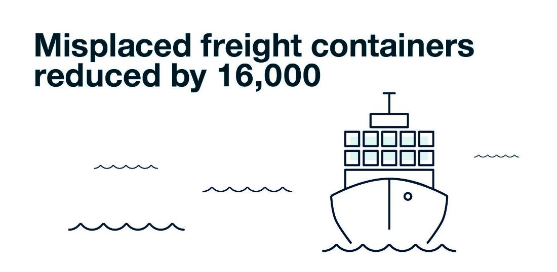
Reduce misplaced freight containers by 16 000
Easier cargo movements
Positioning technology can not only improve maritime navigation and decrease the risk of accidents in congested waters or with low visibility, but it will allow for better vessel capacity and the movement of cargo. Vessels can avoid hazards and navigate around fixed structures and platforms more easily.
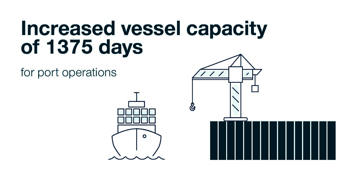
Accrue 1375 days in the form of increased vessel capacity for port operations and reduce uncertainty in navigation and enable efficiency gains of 1900 vessels through lower risk real-time pilotage within Sydney Harbour
The Mega liner Ovation of the Seas vessel took part in the SouthPAN test-bed trial to test highly accurate positioning technology.
The SouthPAN technology was used by Acoustic Imaging in consultation with the Port Authority of New South Wales to help dock the world's fifth largest cruise ship on its visit to the Sydney Harbour.
Sydney is extremely busy during the cruise season and it has enormous cruise ships coming in every day, intermingled with ferry and recreation traffic.
During SouthPAN’s SBAS test-bed project, on average more than half a million people boarded 344 cruise ships docked in Sydney Harbour.
At the time of the project, GPS technology and human observation were traditionally used to ensure ships arrived safely.
The docking of Ovation of the Seas, which is over 330 metres long and too tall to sail beneath the Sydney Harbour Bridge, was a unique opportunity to test how the use of SouthPAN technology could potentially benefit the ports of the Sydney Harbour.
The berth box inside Circular Quay is marginally smaller than the Ovation of the Seas, so the Ovation of the Seas is actually parking with nose protruding out in front of that parking spot. We're on a level where metres matter, and centimetres matter.
What SouthPAN allows us to do is to have the pilot rely just on the information on the computer screen to enable instrument navigation, then the pilot no longer needs visibility to be able to steer a ship.
This will allow the Port Authority of New South Wales to bring in more ships, more frequently and in adverse conditions.
Acoustic Imaging Pty Ltd
Project Title
Navigation and pilotage in Sydney Harbour
Organisations Involved
- Acoustic Imaging Pty Ltd
- The Port Authority New South Wales
Project Summary
Australia's largest port of Sydney, the fundamental enabler of shipping growth is operational efficiency. The Port Authority of NSW (PANSW) orchestrates every large vessel movement within and surrounding the harbour. This includes arrival, docking, anchoring and departure of large vessels (pilotage)
and the investigation and mapping (charting) of underwater hazards to navigation. Gains in port operational efficiency translate to increased number, frequency, capacity, speed and safety of commodities and tourists moving into and out of the harbour on container ships and cruise liners whilst reducing
power and fuel consumption for the maritime sector.
Acoustic Imaging (AI) integrated SouthPAN into PANSW pilots' portable navigation systems (PPUs) and into PANSW hydrographic surveyors’ seafloor mapping (charting) systems to measure the gains in efficiency that SouthPAN positioning of consistent and proven statistical quality will bring to PANSW port
management. Gains were realised through establishment of a clear, safe and efficient method of undertaking daily routines and operations as well as in the capability to forward model low probability unplanned events. For unplanned events, trustworthy positioning data could be relied upon to provide awareness
of what remedial actions were instantly accessible.
Current positioning methods for PANSW pilots provide predictions of the ship's location relative to the most recent chart of the harbour. These vary in quality. As a result, a pilot must rely upon his or her visual awareness for steerage decisions. SouthPAN provided pilots with a continuous aiding source
of consistent and known quality. This provided PANSW with a firm understanding of the risk to associate with each pilotage activity. Decreased risk enabled increasing the number of ships in the shipping lane and closer passage of arriving and departing ships.
Current positioning methods for investigating hazards and mapping the harbour floor do not provide PANSW hydrographic surveyors with consistently trustworthy positioning required for instantaneous identification and mensuration of potential navigation hazards to add to a navigation chart. The major
inhibitor of real-time charting is the difficulty of communicating from land GNSS stationary receivers (used as a source of positioning) to a remote vessel in a busy harbour. Without consistent land communication all harbour data must be returned to office where the data undergoes statistical validation
and remediation prior to approval. This can delay a ship movement, docking or anchoring event. SBAS, because it is delivered from space, provided data of the required statistical consistency for instantaneous identification and location of navigation hazards affecting berthing boxes and shipping lanes.
Acoustic Imaging (AI) is a 20-year-old Australian owned and operated company with a track record of introducing innovative techniques to the maritime industry in Australia and internationally. PANSW's approach to ensuring high quality navigation safety in Australia's premier harbour provided an ideal
platform for controlled testing of SouthPAN. AI and PANSW have a decade of constructive collaboration across many projects.
Maritime Industry Australia Limited
Project Title
A comprehensive maritime assessment on the impact of an operational SouthPAN and the potential business critical applications
Organisations Involved
- Maritime Industry Australia Ltd (MIAL)
- Various MIAL members and connections for testing
- CRCSI
Project Summary
As Australia's largest representative of maritime interests, Maritime Industry Australia Ltd (MIAL) was well positioned to deliver the broadest possible industry specific scenarios across both Australia and New Zealand.
MIAL's extensive membership base of maritime owners, operators and other stakeholders, provided the necessary maritime platforms to test the capabilities of SouthPAN from scientific and commercial perspectives. This was a flagship project for maritime.
The areas of marine application being tested were: commercial, cruise, Antarctic, offshore and construction. A key aspect of the Maritime Australia and New Zealand (MANZ) SouthPAN Project was to determine if the new system was more accurate than the existing signals.
There are significant potential benefits to having the most accurate precise positioning system for the maritime industry, including: increased efficiency of vessel and port operations, reducing operating costs and enhanced safety of navigation to protect the environment and infrastructure.
However, the SouthPAN capability needed to be proven prior to the deployment of the new technology.
The project results are available to assist the Australian and New Zealand Governments in their decision-making processes around adopting the SouthPAN technology.
Identec Solutions Australia and New Zealand
Project Title
SouthPAN testing for terminal process automation
Organisations Involved
- Identec Solutions Australia and New Zealand Pty Ltd
- DP World Australia Ltd
- RMIT
- CRCSI
Project Summary
Knowing where containers are at a terminal requires positioning accuracy of less than the container width. Identec Solutions currently use local GNSS base stations to achieve this accuracy in a terminal environment. This project tested whether SouthPAN could be used as a regional replacement for, or
redundancy of, these local GNSS base stations. The project also aimed to test whether SouthPAN could support improved transport efficiency in the terminal environment.
Contact
For further information on these projects:
Eldar Rubinov
SBAS Test-bed Technical Manager
FrontierSI (formerly the Australia and New Zealand CRC for Spatial Information)
Door 34, Goods Shed, Village Street, Docklands, VIC, 3008
Tel: +61 406 966 992
Email: erubinov@frontiersi.com.au
href="https://frontiersi.com.au" target="_blank">
www.frontiersi.com.au
For all media enquiries:
Tel: 1800 882 035
Email: media@ga.gov.au