Road
Page last updated:14 March 2025
Uptake of positioning technology in the road transport sector has significantly increased in recent years to address the growing challenges of congestion, accessibility and rising fuel prices. Positioning Australia will deliver the precise positioning essential to make Australian roads safer and for the creation of road maps for vehicles and tracking public transport.
A trial of SouthPAN’s accurate positioning technology, known as the Satellite-Based Augmentation System (SBAS) test-bed project, ran between 2017 and 2019 to assess the economic, social and environmental benefits of improved positioning technology through a range of industry demonstrator use case projects. These projects tested how SouthPAN could improve existing technologies, or give rise to new innovation, across the economy. SouthPAN’s SBAS test-bed included 27 demonstrator projects across ten industry sectors including agriculture, aviation, construction, consumer, resources, road, rail, maritime, mining and utilities.
This was led by Geoscience Australia in partnership with the New Zealand Government’s Toitū Te Whenua Land Information New Zealand and managed by FrontierSI.
Improves our road systems
The road sector is increasingly reliant on positioning technology for the creation of road maps, satellite navigation for vehicles and tracking public transport. It will help secure the safety and integrity of Australia’s transport sector through mitigation of signal disruptions.
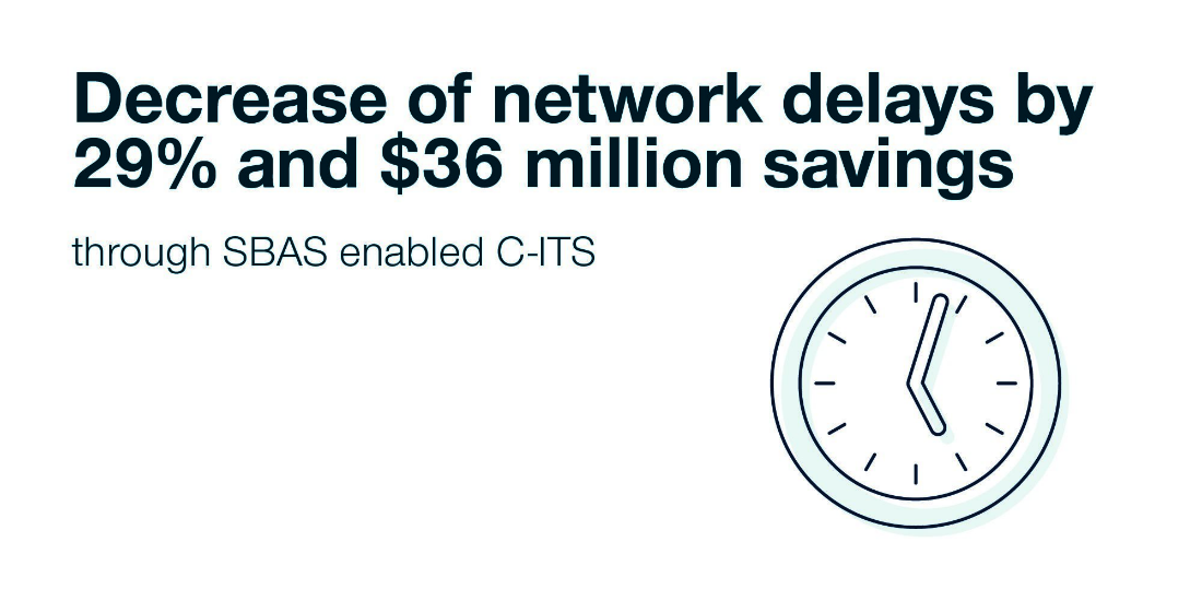
Decrease of network delays by 29% and $36 million savings through SBAS enabled Cooperative Intelligent Transport System
Helps make roads safer
Driver safety is of paramount importance in the road transport sector. Precise positioning enables the vehicle's location to be identified with greater accuracy and certainty to better manage driver fatigue and transport mobility.
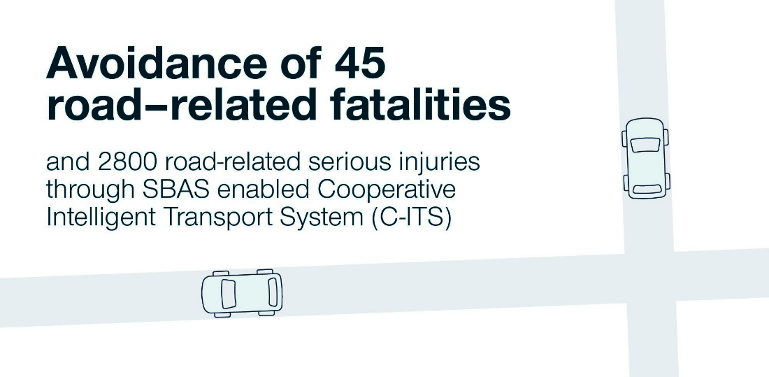
Avoidance of 45 road-related fatalities and 2800 road-related serious injuries through SBAS enabled Cooperative Intelligent Transport System
Can support driverless cars
Driverless cars will no longer be in the realm of science fiction when reliable, widespread and accurate positioning information becomes available. It will enable the development of advanced navigation services that keep cars on the correct side of the road and ensure they follow the designated route from the production of more accurate maps.
VicRoads
Project Title
Highly automated driving with SouthPAN trial - Victoria's road safety strategy and action plan 2016–2020
Organisations Involved
- VicRoads
- Robert Bosc h(Australia) Pty Ltd
- Transport Accident Commission(TAC)
- Royal Melbourne Institute of Technology University (RMIT)
Project Summary
The highly automated driving SouthPAN SBAS test-bed project considered the ability of an Australian SBAS service to support future automated vehicle positioning requirements. The trial employed the Victorian Government supported Bosch Transport Accident Commission (TAC) Highly Automated Driving (HAD) Vehicle with an SouthPAN receiver to compare the accuracy of the SouthPAN with existing commercial positioning services used to facilitate automated driving.
The Bosch TAC HAD vehicle was driven in a variety of environments while collecting position information from an existing commercial RTK service, standalone GNSS, Legacy SouthPAN, DFMC and PPP services. The trial then provided an understanding of how each service performs in an automated driving environment.
HERE Technologies
Project Title
Technology demonstrator of augmented differential positioning using SouthPAN technology integrated with HERE True SLI & LiDAR Road Data Reality Capture Platform for Highly Automated Driving.
Organisations Involved
- HERE Technologies
Project Summary
Location is a key enabler to all industries and as we progress to an autonomous world with highly assisted driving and truck platooning, the precision of how we need to capture location has never been more important. Location of white lines on roads, lane widths, bridge clearances, parking bays, car charging locations, and the precise location of cars and trucks moving on the road network with or without drivers are just a few examples.
GNSS or 'GPS' as we know it today in Australia is used by HERE Technologies to build advanced road maps, however the precision required to build maps for autonomous use has to correct ‘GPS’ positions manually using complex correction methods. Leveraging the SouthPAN in the HERE True Reality Capture Platform for Highly Automated Driving (HAD) alleviated the need to post-process the location data, enabling more rapid access for Australians of these transformational technologies capable of reducing congestion and saving lives. This technology also has the potential to position Australia as a leader in clean, safe autonomous solutions.
Within the trial, the HERE HAD Team modified the interfaces on the Reality Capture Platform such that it could ingest a time synchronised position signal from the SouthPAN technology. The SouthPAN technology was technically interfaced and software integrated into a single HERE True Vehicle operating on the east coast of Australia for the trial only. Throughout the trial, information was gathered to assess the effort to achieve full quality certification and road safety compliance for use within the HERE Reality Capture Platform.
Ministry of Transport, New Zealand
Project Title
National heavy vehicle SouthPAN SBAS test-bed project
Organisations Involved
- New Zealand eRUC providers
- New Zealand Transport Agency
- Beca
Project Summary
Existing standalone GPS used in everyday vehicles is not accurate enough to identify precise position on the road. This project examined whether SouthPAN could help determine vehicle location at the sub-metre level, meaning the lane the vehicle was travelling in could be identified. This level of information is required by transport agencies and vehicle manufacturers to support improved transport efficiency and cooperative vehicle safety applications, such as providing accident alerts and informing intelligent transport systems.
Curtin University
Project Title
SouthPAN for connected vehicles: The potential road safety and efficiency gains through the use of an SouthPAN
Organisations Involved
- Curtin University
- Transport for NSW
- Roads and Maritime Services
- University of New South Wales
Project Summary
Existing standalone GPS used in everyday vehicles is not accurate enough to identify precise position on the road. This project examined whether SouthPAN could help determine vehicle location at the sub-metre level, meaning the lane the vehicle was travelling in could be identified. This level of information is required by transport agencies and vehicle manufacturers to support improved transport efficiency and cooperative vehicle safety applications, such as providing accident alerts and informing intelligent transport systems.
Contact
For further information on these projects:
Eldar Rubinov
SBAS Test-bed Technical Manager
FrontierSI (formerly the Australia and New Zealand CRC for Spatial Information)
Door 34, Goods Shed, Village Street, Docklands, VIC, 3008
Tel: +61 406 966 992
Email: erubinov@frontiersi.com.au
www.frontiersi.com.au
For all media enquiries:
Tel: 1800 882 035
Email: media@ga.gov.au


