Resource potential Beneath Australia: Bringing a billion years of geology to life in 3D
New insights into existing information is improving our understanding of geological units according to when they formed and the environments in which they were deposited.
By linking rock layers according to their age and formation, it reveals how geology, groundwater, mineral deposits and energy systems connect across Australia.
Published:17 November 2026
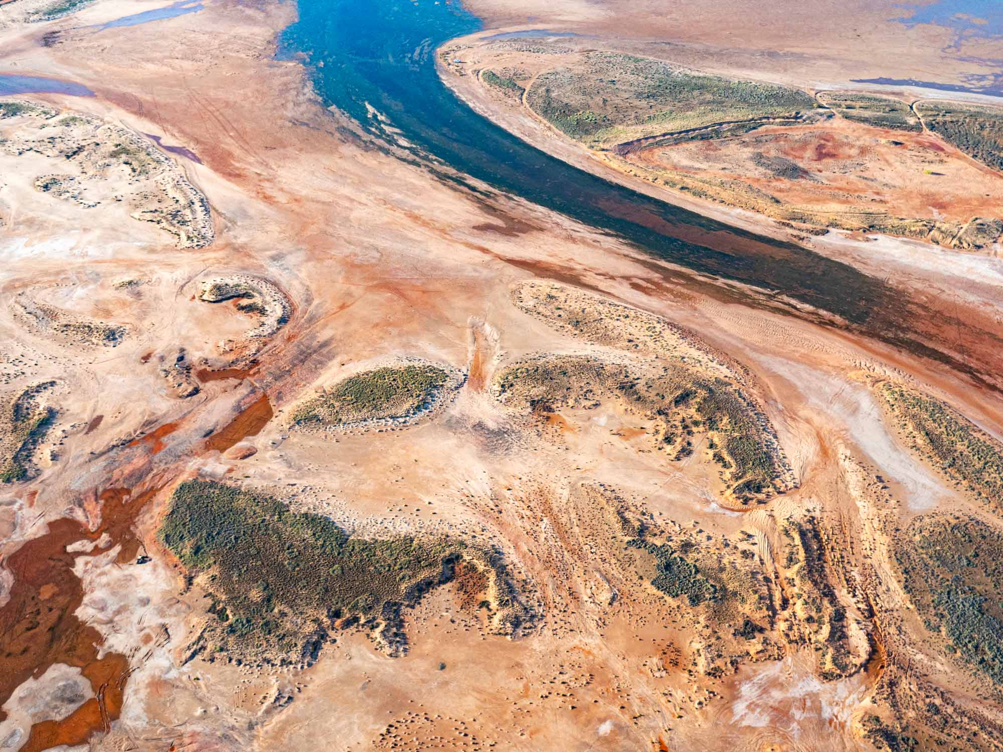
Understanding Australia’s geology and groundwater
Drawing on more than 50 data sources and over 170,000 drillholes, Geoscience Australia has advanced a consistent and unified three-dimensional understanding of Australia’s subsurface.This national chronostratigraphic framework links geological units according to when they formed and the environments in which they were deposited.
Traditionally, geological units have been mapped and named according to their physical characteristics. By instead looking at their age and how they formed, the framework provides a more consistent way of understanding how Australia’s geology developed through time, revealing connections that can be difficult to see from the characteristics of the rocks alone or when geological information is considered within individual regions or jurisdictions.
It provides a stronger foundation for understanding Australia’s geology and groundwater, mineral and energy systems, including how geological units and aquifers connect across basin and state borders. This integrated understanding reduces uncertainty and supports better-informed decisions about groundwater, resources and land use by governments, industry and communities.
Related information
- Learn more: Resourcing Australia's Prosperity
170,000 drillholes
integrating data from over 170,000 drillholes
50 data sources
to map the story of our geology
Discover more

Our highlights
Across the year, our people have delivered a wide range of outcomes that addressed some of Australia's most significant opportunities and challenges.
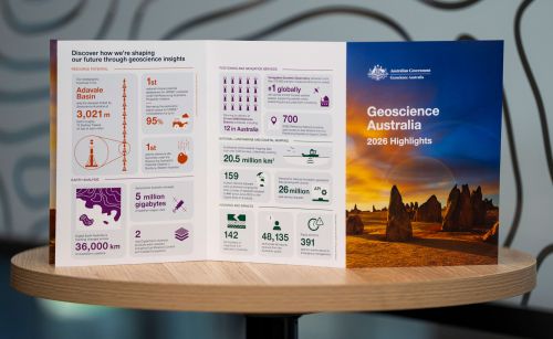
Highlights at a glance
The highlights included in this annual snapshot showcase just some of the diverse and impactful work that has created value for Australia through trusted science, data and insights during 2026.

Message from the CEO
Geoscience Australia and our predecessors have always played a central role in leading applied geoscience knowledge that underpins the safety, resilience and prosperity of our nation.