2026 Highlights
Across the year, our people have delivered a wide range of outcomes that addressed some of Australia's most significant opportunities and challenges.
Our work continues to contribute to national priorities like the transition to net zero, improving resource security, supporting sustainable development, the protection of Australia’s environment and enabling digital transformation.
We have seen important milestones delivered under our 4 key initiatives:
- Resourcing Australia’s Prosperity mapping Australia’s potential for critical minerals and other important resources
- Landsat Next providing a new phase in our space-based record of the Earth’s land surface
- Southern Positioning Augmentation Network (SouthPAN) establishing a national capability to deliver accurate and reliable positioning down to as little as 10 cm level accuracy
- Digital Atlas of Australia making trusted location information accessible to all.
In 2026 we have made important progress in our commitment to respectful and meaningful engagement with First Nations peoples, establishing a Directorate focussed on First Nations Partnerships and Engagement and the First Nations Advisory Group.
These outcomes have been made possible through strong partnerships with government, industry, research organisations and communities across Australia.
The highlights included in this annual snapshot showcase just some of the diverse and impactful work that has created value for Australia through trusted science, data and insights during 2026.
Our highlights
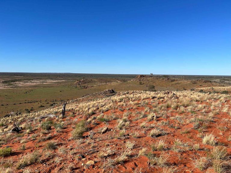
By integrating millions of data points collected through drilling, seismic surveys, geophysics, geochemistry and groundwater investigations, we have built the most comprehensive picture yet of one of the largest concealed geological regions in south-east Australia.

Drawing on more than 50 data sources and over 170,000 drillholes, Geoscience Australia has advanced a consistent and unified three-dimensional understanding of Australia’s subsurface.
We know Australia has the resources, renewable energy potential and infrastructure needed to support future lower-emissions iron and steel supply chains.
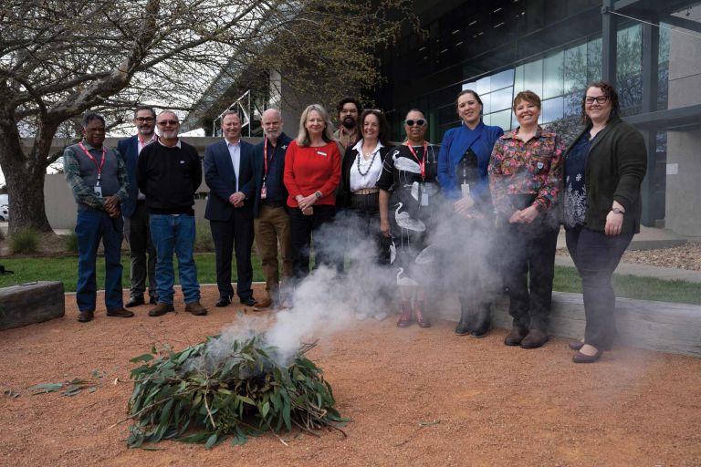
The establishment of our First Nations Advisory Group marks a significant step in embedding Aboriginal and Torres Strait Islander voices, knowledge and perspectives across our work.

From safer navigation to more productive industries, precise positioning is increasingly embedded in the systems Australians rely on every day.
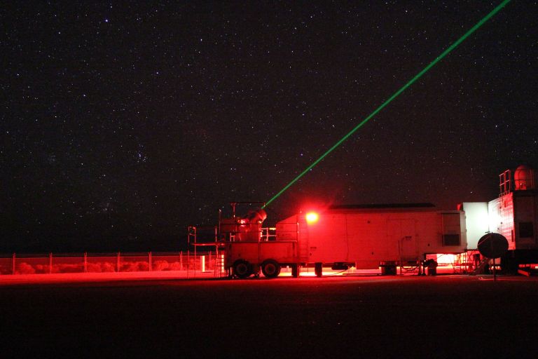
Every day, Australians rely on location-based technologies from critical infrastructure supporting banking and telecommunications to smart phones and emerging autonomous technologies.
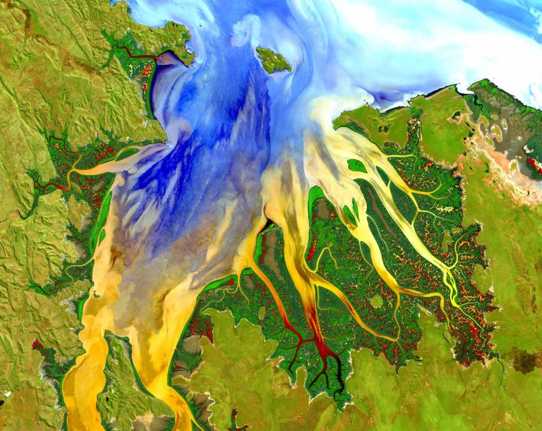
Geoscience Australia provides access to almost 40 years of satellite imagery across Australia’s land, water and coastal environments.

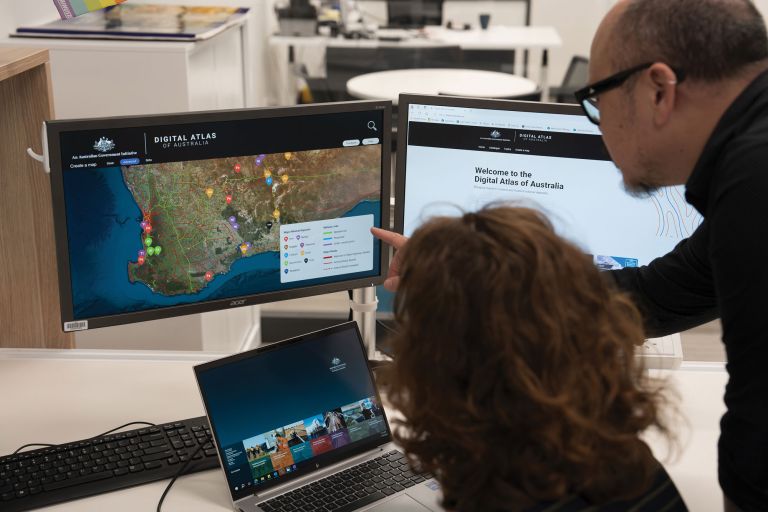
The Digital Atlas of Australia demonstrates how we're moving beyond simply publishing data to making it discoverable, accessible and usable.
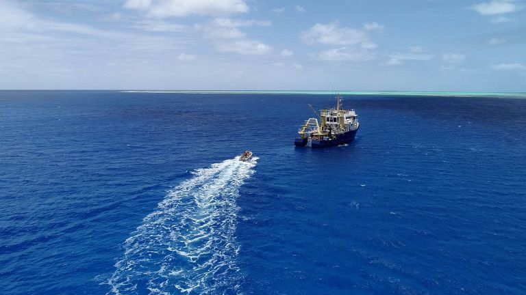
Understanding and managing Australia's vast marine jurisdiction requires data collected by dozens of organisations over many years.

Our National Earthquake Alerts Centre (NEAC) delivers public value around the clock, providing the national capability that detects earthquakes, issues alerts and supports emergency management agencies with trusted scientific advice.
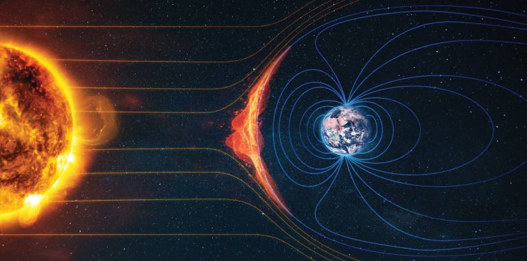
Although invisible to most Australians, Earth's magnetic field underpins activities ranging from maritime and aviation navigation to mineral exploration and infrastructure management.
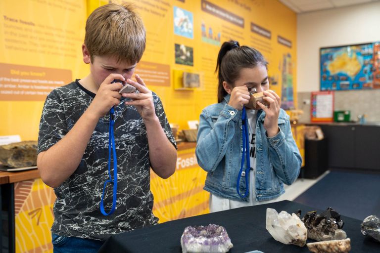
Our long-term impact depends on developing the next generation of scientists, data specialists and innovators.

Message from the CEO
Our island nation is like no other – vast, diverse and continually changing. Understanding our unique landscapes and seas is essential to our nation’s prosperity. In 2026 Geoscience Australia celebrated a year of milestones, reflecting on how far we have come and looking to the future with a new enterprise strategy putting users at the centre of geoscience insights.
Geoscience Australia as we know it came into existence 25 years ago – bringing together Australia's national geoscience capability for the first time by merging the Australian Geological Survey Organisation (formerly the Bureau of Mineral Resources, Geology and Geophysics) and the Australian Surveying and Land Information Group.
Geoscience Australia and our predecessors have always played a central role in leading applied geoscience knowledge that underpins the safety, resilience and prosperity of our nation.
Understanding where we have come from, and the benefit of bringing together all areas of Earth science, is helping us map the future. Our new enterprise strategy Shaping Our Future: Geoscience Australia Strategy 2026–2036 sets a clear path for the organisation in continuing to provide trusted geoscience, data and advice to support government, industry and communities through the next 10 years of economic and environmental change.

Melissa Harris PSM
Chief Executive Officer