National Land, Marine and Coastal Mapping 20.5 million square kilometres: Revealing Australia’s hidden underwater world
The AusSeabed Marine Data Portal provides access to more than 3,000 surveys covering 20.5 million square kilometres across Australian and Antarctic waters.
This national portal makes seabed data accessible and reusable, helping governments, researchers and industry make more informed marine planning, management and investment decisions.
Published:17 November 2026

Bringing together seabed information from government, industry and academia
Understanding and managing Australia's vast marine jurisdiction requires data collected by dozens of organisations over many years. We lead the AusSeabed collaborative initiative, bringing seabed information from government, industry and academia together and making it easier to discover, access and reuse.
Through the AusSeabed Marine Data Portal, we now provide access to more than 3,000 surveys from 102 organisations, covering 20.5 million square kilometres of seabed across Australian and Antarctic waters. The portal supports over 6,000 active users per year, and in 2026 published 15 additional datasets from Australian and international agencies, demonstrating growing demand for a single national source for seabed data.
The data supports a wide range of applications, including ecosystem protection, coastal hazard planning, offshore infrastructure development and marine resource assessments. By making seabed information accessible and reusable, AusSeabed helps governments, researchers and industry make better-informed planning, management and investment decisions about Australia's marine environment.
We're also expanding the nation's knowledge of the seabed itself through Resourcing Australia’s Prosperity. We collected around 40,000 square kilometres of new seabed data on CSIRO’s RV Investigator, providing unprecedented 3D views of deep underwater features along Australia's eastern seaboard and contributing to a more complete understanding of Australia's marine domain.
Related information
- Learn more: AusSeabed Marine Data Portal
3,000 surveys
We now provide access to more than 3,000 surveys from 102 organisations, covering 20.5 million square kilometres of seabed across Australian and Antarctic waters
6,000 users
The portal supports over 6,000 active users per year, and in 2026 published 15 additional datasets from Australian and international agencies, demonstrating growing demand for a single national source for seabed data
Discover more
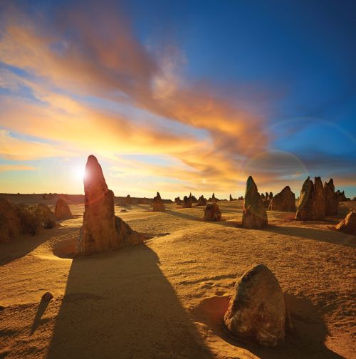
Our highlights
Across the year, our people have delivered a wide range of outcomes that addressed some of Australia's most significant opportunities and challenges.
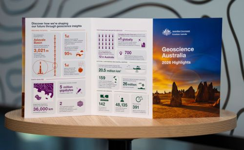
Highlights at a glance
The highlights included in this annual snapshot showcase just some of the diverse and impactful work that has created value for Australia through trusted science, data and insights during 2026.

Message from the CEO
Geoscience Australia and our predecessors have always played a central role in leading applied geoscience knowledge that underpins the safety, resilience and prosperity of our nation.