Earth Analysis Almost 40 years of satellite imagery: Seeing Australia as never before
Our Earth Observation Program provides access to 40 years of Earth observation data across Australia’s land, water and coasts.
By making change visible and measurable over time, our work supports more informed decisions.
Published:17 November 2026
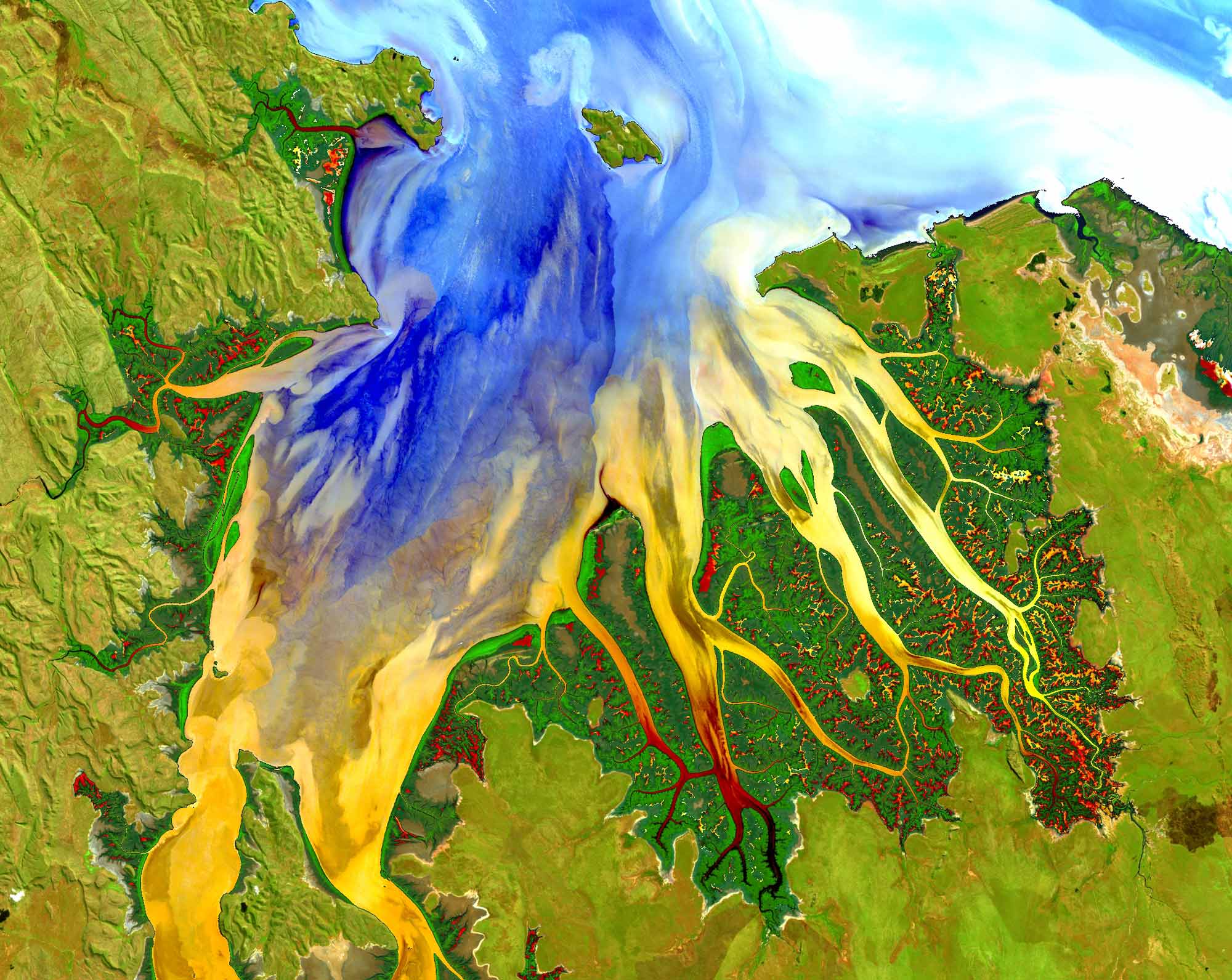
Tracking changes in our landscape over time
Geoscience Australia provides access to almost 40 years of satellite imagery across Australia’s land, water and coastal environments. Through national Earth observation infrastructure, data systems and applied science, we transform satellite imagery into trusted information that helps governments, industry, researchers and communities understand environmental change and make better-informed decisions.
The impact of this capability can be seen in coastal hazard management at Bribie Island, where our Coastlines product provided critical evidence to support emergency remediation and planning following extreme weather events, including ex-Tropical cyclone Alfred in 2025.
The resulting $20 million project addressed tidal breakthroughs that had created immediate risks to navigation, public safety and the stability of the Pumicestone Passage. Completed in March 2026, the works closed two tidal breakthroughs, established an erosion barrier and improved water quality and navigation. More than 1.1 million cubic metres of sand were moved as part of the intervention.
By providing a long-term record of coastline change, our Earth observation data helps enables immediate emergency action as well as longer-term planning to build resilience. Satellite imagery can then monitor the effectiveness of adaptation measures over time. This demonstrates the enduring value of trusted national environmental information in supporting resilient communities.
Related information
- Learn more: Digital Earth Australia Coastlines
40 years
satellite imagery across our land, water and coasts
36,000km
tracking changes across over 36,000km of coastline
Discover more

Our highlights
Across the year, our people have delivered a wide range of outcomes that addressed some of Australia's most significant opportunities and challenges.
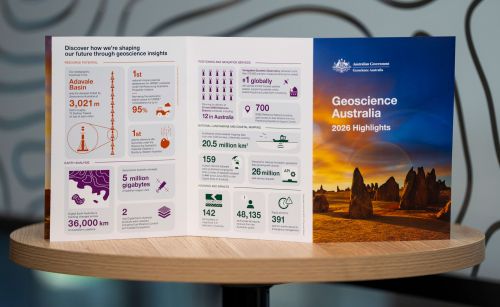
Highlights at a glance
The highlights included in this annual snapshot showcase just some of the diverse and impactful work that has created value for Australia through trusted science, data and insights during 2026.

Message from the CEO
Geoscience Australia and our predecessors have always played a central role in leading applied geoscience knowledge that underpins the safety, resilience and prosperity of our nation.