Positioning and Navigation Services 276,000 precision measurements: World-leading geodesy from the Australian outback
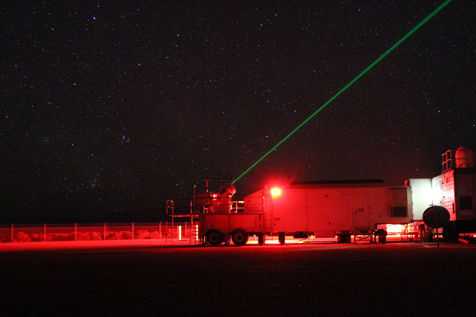
Our national geodesy program underpins the location-based services Australians rely on every day. In 2026, our Yarragadee Geodetic Observatory received a NASA Agency Honor Award for satellite laser ranging after tracking over 500,00 satellite passes over 25 years, reinforcing its status as a global geodetic supersite and world leading station.
Published:17 November 2026
Powering location-based technologies Australians rely on
Every day, Australians rely on location-based technologies from critical infrastructure supporting banking and telecommunications to smart phones and emerging autonomous technologies. Behind these technologies is our geodetic capability, the underlying system that provides an authoritative reference for location across the country. It provides the foundation for the positioning, navigation and timing services on which our economy and society depend.
Australia's global leadership in geodesy was recognised when the Yarragadee Geodetic Observatory team received a NASA Agency Honor Award for its contribution to satellite laser ranging. Satellite laser ranging uses precisely timed laser pulses to measure the distance between Earth and satellites, producing observations that are fundamental to geodesy. This year Yarragadee, one of only seven geodetic super-sites and the highest performing, delivered more than 276,000 precision satellites measurements, supporting accurate positioning and satellite operations more broadly.
In March 2026, Geoscience Australia completed an important update to the legal foundation of Australia’s national positioning system, with the issue of a remade Recognised Value Standard of Measurement of Position. This remake was part of a broader law reform process of the National Measurement Act 1960 and ensures positioning systems remain accurate and legally traceable, even as the Australian continent moves north-east by around 7 centimetres each year.
Together, these achievements demonstrate how our national geodesy capability connects the everyday technologies Australians rely on with some of the world’s most precise measurements of our planet. It provides the trusted foundation for accurate positioning across Australia, while making a critical contribution to global Earth observation and space infrastructure.
Related information
276,000
Yarragadee Geodetic Observatory delivered more than 276,000 precision measurements
23,000
Ranked #1 globally with almost 23,000 tracked satellite passes, supporting satellite orbits, positioning and accurate Earth monitoring
Discover more

Our highlights
Across the year, our people have delivered a wide range of outcomes that addressed some of Australia's most significant opportunities and challenges.
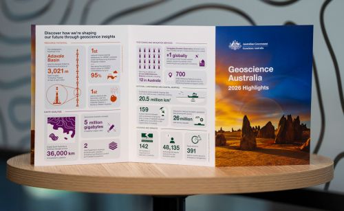
Highlights at a glance
The highlights included in this annual snapshot showcase just some of the diverse and impactful work that has created value for Australia through trusted science, data and insights during 2026.

Message from the CEO
Geoscience Australia and our predecessors have always played a central role in leading applied geoscience knowledge that underpins the safety, resilience and prosperity of our nation.