Test Flight Protocols
Page last updated:27 May 2026
Location
The Kauring test site is located approximately 115 kilometres east-north-east of Jandakot Airfield in Perth, Western Australia.
Airborne Gravity (AG) Test Area
| Longitude (°) (GDA94) | Latitude (°) (GDA94) | Easting (MGA50) | Northing (MGA50) |
|---|---|---|---|
116.942315 | -31.808554 | 494 540 | 6 480 783 |
117.167131 | -31.808320 | 515 819 | 6 480 798 |
117.167625 | -31.994037 | 515 834 | 6 460 213 |
116.941900 | -31.993554 | 494 512 | 6 460 277 |
Airborne Gravity Gradiometry (AGG) Test Area
| Longitude (°) (GDA94) | Latitude (°) (GDA94) | Easting (MGA50) | Northing (MGA50) |
|---|---|---|---|
117.018803 | -31.889518 | 501 778 | 6 471 810 |
117.064930 | -31.866945 | 506 142 | 6 474 310 |
117.094664 | -31.910668 | 508 950 | 6 469 462 |
117.047943 | -31.933544 | 504 532 | 6 466 929 |
Access
The test site is situated on farmland and contact with landowners will be necessary before any flying is done over the test site.
A (partial) list of landholders and their contact details is available from the Geological Survey of Western Australia (contact: Geophysics section, email geophysics@dmpe.wa.gov.au or telephone +61 8 9222 3331).
The aviation regulations stipulate a minimal 500ft vertical and 600m lateral separation from all buildings, sheds and vehicles. Flying with this configuration does not require landholder consent — although landholder notification, if this can be done, is a courtesy that would not go amiss. (Outside the 'core' area, this may be impractical given the number of properties involved and the difficulty of overcoming privacy issues in obtaining contact details of individuals from government agencies or local authorities.)
The test site is situated beneath controlled airspace and any flights will need to be under the height specified for the controlled airspace. Prior notice to and liaison with other airspace users in the vicinity is essential.
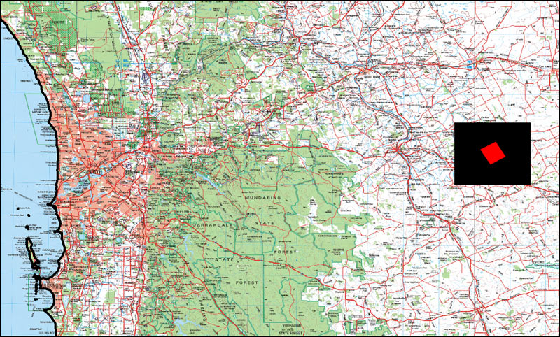
Regional Locality Diagram Kauring Test Site
Local airspace activity:
White Gum YWGM
| Location: |
WGS84 116.939E, 31.8671S (116° 56' 20.52"E, 31° 52' 1.56"S) Approximately 11 km WNW from the centre of the test range. |
| Contact: |
Andrew Cotterell Mary Cotterell |
| Telephone: |
+61 (0)400 246 906 +61 (0)401 279 773 |
| Email: | andrew@ywgm.com.au mary@ywgm.com.au |
| Website: | www.ywgm.com.au |
| Comments: | This is an active training and recreational flying facility in a designated CTAF area. The use of correct radio procedures (CAAP 166 parts 1 and 2) is mandatory. |
Designated parachuting area — YMMM/D186 Brooklands
| Drop zone: |
Circle of two nautical mile radius centred on WGS84 116.7961E, 31.825S (116° 47' 46"E, 31° 49' 30"S) The vertical limit is from the ground surface to 8500 feet (2590.8 m). |
| Airfield: | Brooklands (YBLD) |
| Location: |
WGS84 116.7982E, 31.8233S (116° 47' 20.52" E, 31° 49' 1.46"S) Approximately 26 km WNW from the centre of the test range. |
| Contact: | Skydive Express |
| Telephone: | +61 (08) 9444 4199 |
| Email: | jump@skydive.com.au |
| Website: | www.skydive.com.au |
| Comments: | Drop zone administering authority is Airservices Australia. |