Our national role Shaping Australia’s marine and coastal future
Page last updated:27 August 2026
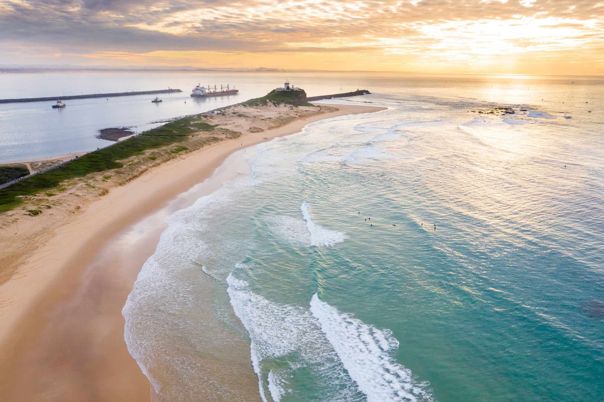
For we are girt by sea
Australia’s oceans and coasts are vast, dynamic and deeply connected to our prosperity — shaping our economy, environment, security and life around the nation. Yet without a clear understanding of these complex systems and how they are changing, Australia cannot plan for and respond to what lies ahead.
Bringing together trusted data from land, coasts, the seabed and space, Geoscience Australia provides the geospatial and scientific insights that bring clarity and confidence to offshore planning, protection and management.
Through maps, analysis and advice, we strengthen the national foundation for ocean governance, sustainable development and a thriving ocean economy.
Our work contributes to Australian Government priorities, including:
- The National Marine Science Strategy
- The Civil Maritime Security Strategy
- The development of the Sustainable Ocean Plan
- Geoscience Australia's Strategy 2026–2036 commitment to national land, marine and coastal mapping.
National leadership and coordination
We lead national initiatives and contribute to international collaborations that improve the consistency, quality and accessibility of marine and coastal information.
Our work contributes to Australian Government priorities including the National Marine Science Strategy, the Civil Maritime Security Strategy, the development of the Sustainable Ocean Plan, and Geoscience Australia's Strategy 2026–2036 commitment to national land, marine and coastal mapping.
By developing shared standards and promoting FAIR data principles, we’re providing marine geospatial information that is reliable, interoperable, and accessible to government, industry and research communities.
Working in partnership
We work with governments, industry, research institutions and international organisations, sharing expertise, data and capability to address Australia’s marine and coastal challenges.
Our partners include the Department of Climate Change, Energy, the Environment and Water; the Australian Hydrographic Office; the Department of Foreign Affairs and Trade; the Attorney-General’s Department; the Australian Antarctic Division; state and territory governments; research organisations such as the CSIRO Marine National Facility; and international geological and marine science programs.
Geoscience Australia also works in partnership with First Nations communities, whose connection to Sea Country spans thousands of generations.
Blue geoscience for better decisions
Our data, national leadership and decision-ready insights help Australia plan, protect, invest and adapt across its marine and coastal environments.
From marine parks and coastal resilience to offshore energy and regional security, our work supports better decisions for a safe, prosperous and sustainable Australia.
Join our team
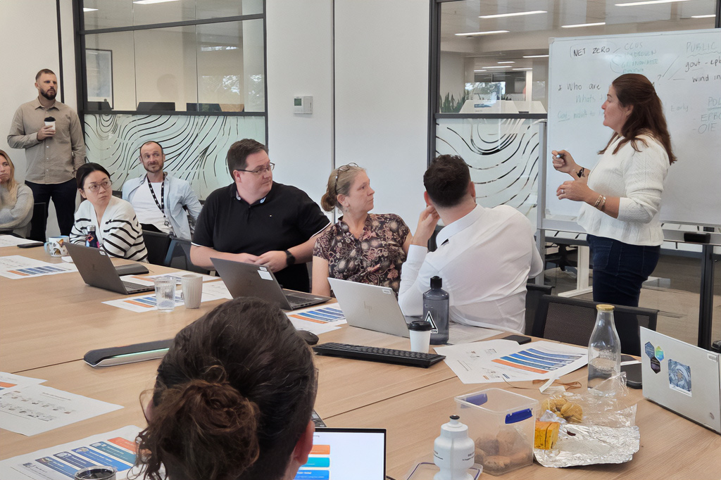
Help shape Australia's future. From marine geoscience and geospatial analysis to digital platforms, data management and national mapping initiatives, our Oceans, Reefs, Coasts and Antarctic (ORCA) Branch contributes to the nation's most significant marine and coastal challenges.
Vacancies are posted on our Careers page