Marine and coastal Blue geoscience for better decisions

Our work informs national priorities
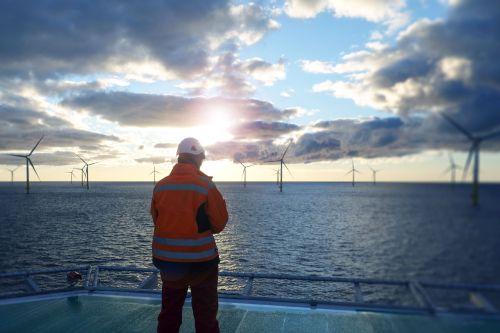
Enabling Australia's vision for offshore renewables
Our trusted marine information helps Australia plan, manage and understand emerging offshore renewable energy environments — ensuring secure foundations for a future industry.
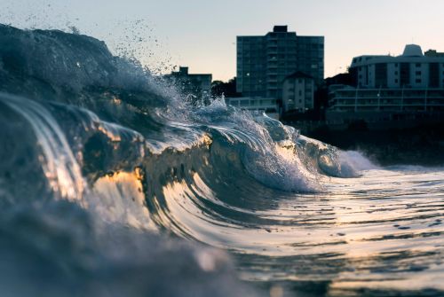
Building a clearer picture of sea level rise
As Australia and its neighbours work to understand what sea level rise and coastal change may mean for places and people, authoritative landscape information is essential.
Preparing for coastal disasters: What happens when tsunamis strike Australia?
A deeper knowledge of Australia’s seabed and coastal zone is supporting emergency managers to prepare for the potential impacts of tsunamis.
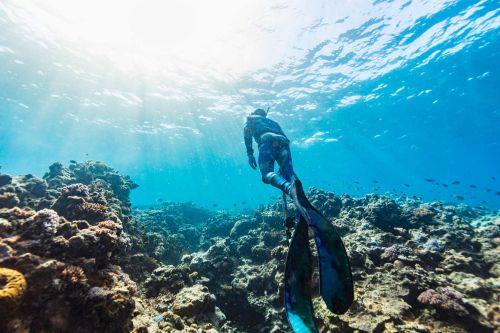
Shaping Australia's marine parks
Australia's ambition to protect and conserve 30 per cent of its oceans by 2030 calls for the best available seabed mapping, geospatial information and marine geoscience.
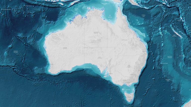
Understanding Australia's seabed is critical for managing our environment, economy and national security. Explore maps, data and scientific insights about Australia's marine environment.
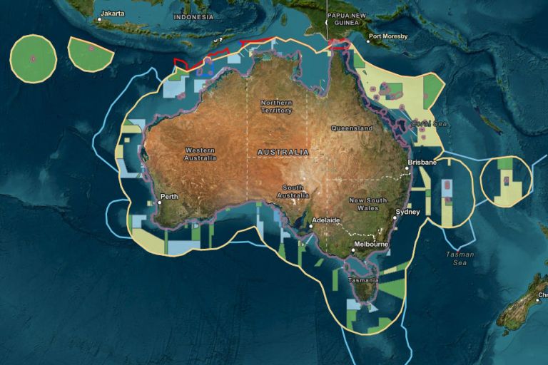
Our maps, data and advice support the definition and administration of Australia's maritime jurisdiction and help make rights, restrictions and responsibilities at sea easier to access and interpret.
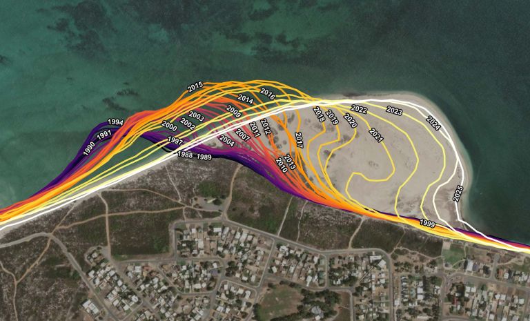
We bring together satellite observations, coastal mapping, seabed data and geospatial analysis to help inform decisions about Australia’s changing coasts.
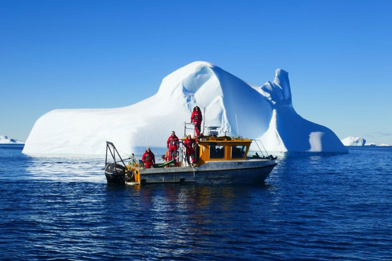
Geoscience Australia maps, monitors and interprets Antarctica's marine and ice-free environments, providing the data and insights that support stewardship, science and Australia's long-term Antarctic interests.
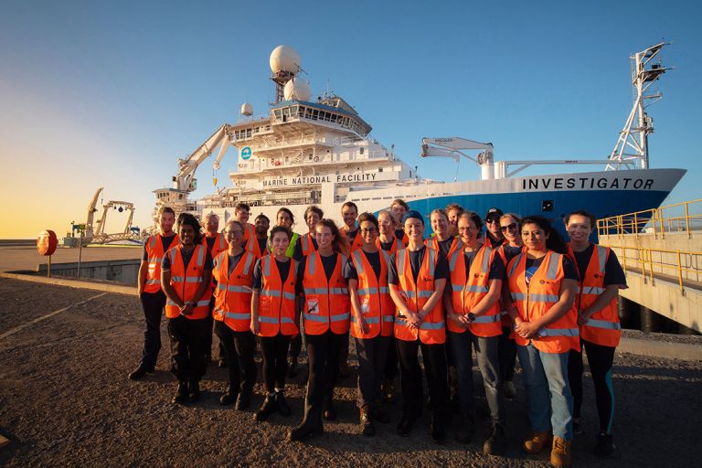
See how our marine and coastal science supports research, collaboration and decisions across Australia and our region.
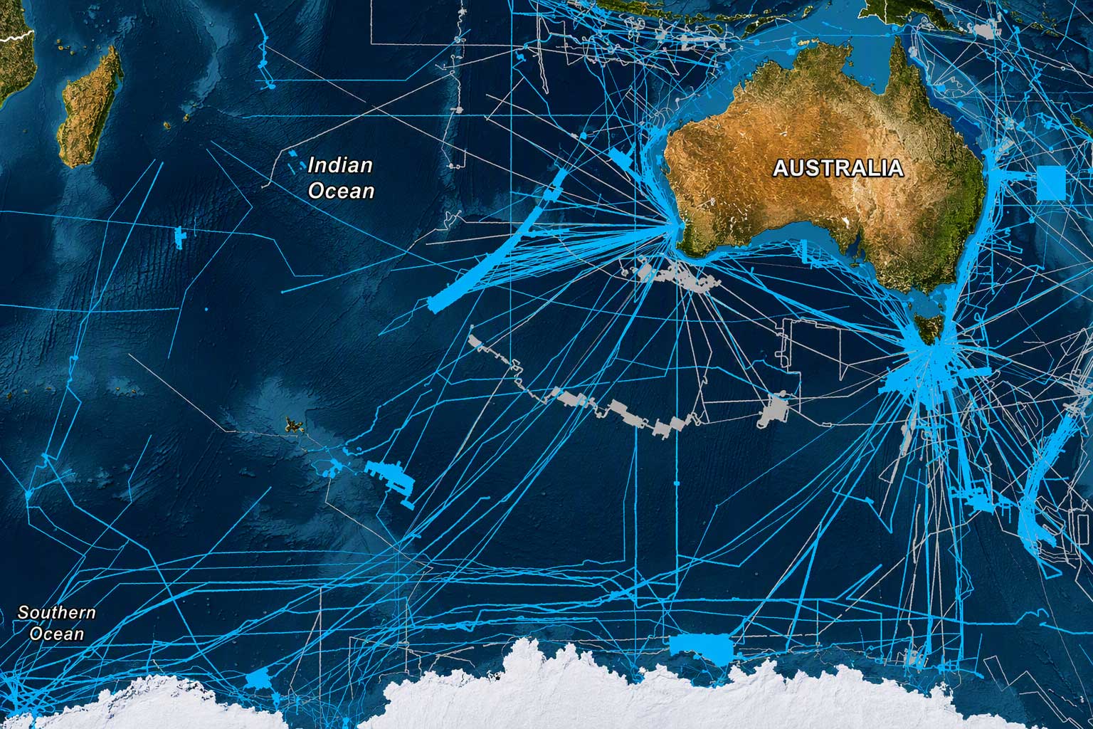
How much has been mapped?
Australia has a vast maritime jurisdiction and a thriving ocean economy, but our oceans face increasingly complex pressures.
Building a more complete picture of the seabed is essential for conserving and sustainably managing our marine environment.
How much of Australia's seabed has been mapped?
We’re contributing to:

Grounded in long-term Australian government, science and research priorities, the Geoscience Australia enterprise strategy charts how our applied geoscience will help Australia navigate complex national challenges and create benefits for generations to come.
The landmark Resourcing Australia’s Prosperity initiative is an ambitious endeavour. It will use innovative data, research and analysis to assess national potential for a broad suite of the resources critical to the net zero transition, supporting a strong resources and energy sector.
Geoscience Australia leads national efforts to strengthen marine and coastal knowledge. Through partnerships and shared geospatial information, we support ocean governance and sustainable management.