About ELVIS Elevation Information System
Page last updated:4 November 2026
ELVIS is Australia's national platform for discovering and accessing elevation data
It brings together high-quality datasets from governments and organisations across Australia in a central, cloud-based system, providing easy access to trusted information about the height and shape of Australia's landscape.
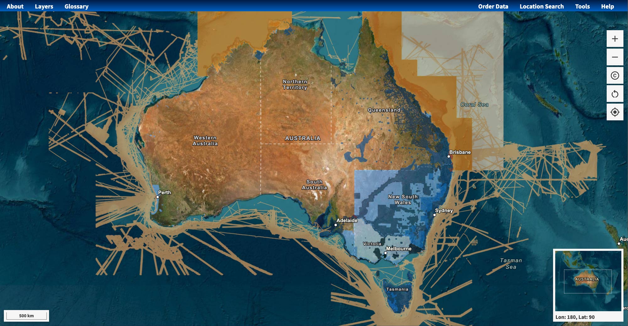
Search for data in your area of interest, explore available datasets and download the data for planning, research, modelling and decision-making.
ELVIS includes data at a range of resolutions and from different sources, including high-resolution LiDAR point clouds and digital elevation models (DEMs).
It also provides access to a limited number of imagery and bathymetric datasets, and elevation model types such as building height models, canopy height models and digital surface models.
Most of the data available in ELVIS is licensed under Creative Commons Attribution so is freely available to users of the platform.
How our elevation data is used
Elevation data provides information about terrain, vegetation, buildings and other features of the Earth's surface. ELVIS data is widely used across Australia for applications that include:
- flood modelling and catchment analysis
- infrastructure planning and engineering
- land, water and environmental management
- bushfire and natural hazard analysis
- landscape and terrain analysis
- coastal and marine planning
- research and scientific modelling.
By making existing data easier to discover, access and reuse, ELVIS helps organisations avoid duplication and make better use of available assets.
Learn more about elevation data.
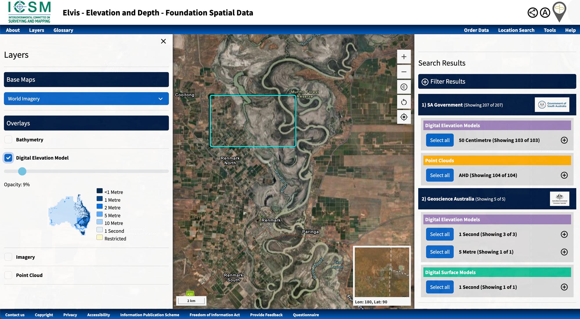
Clip, zip and ship: Geoscience Australia’s ELVIS Elevation Information System offers user-friendly tools to find and integrate elevation data
Find and download the data you need
ELVIS lets you search for available datasets by location, inspect coverage and metadata, and order data for your area of interest.
It primarily provides elevation data as digital raster (gridded) datasets and point clouds for use in GIS, CAD and other modelling applications, rather than ready-made topographic maps or contour lines.
Depending on the location, available data can include:
- LiDAR point clouds
- digital elevation models (DEMs)
- digital surface models (DSMs)
- bathymetry
- imagery
- other gridded elevation products.
Clip, zip and ship: Define an area of interest on the map and select the datasets you need. ELVIS then prepares the selected data for direct download.
Understand how water moves through catchments
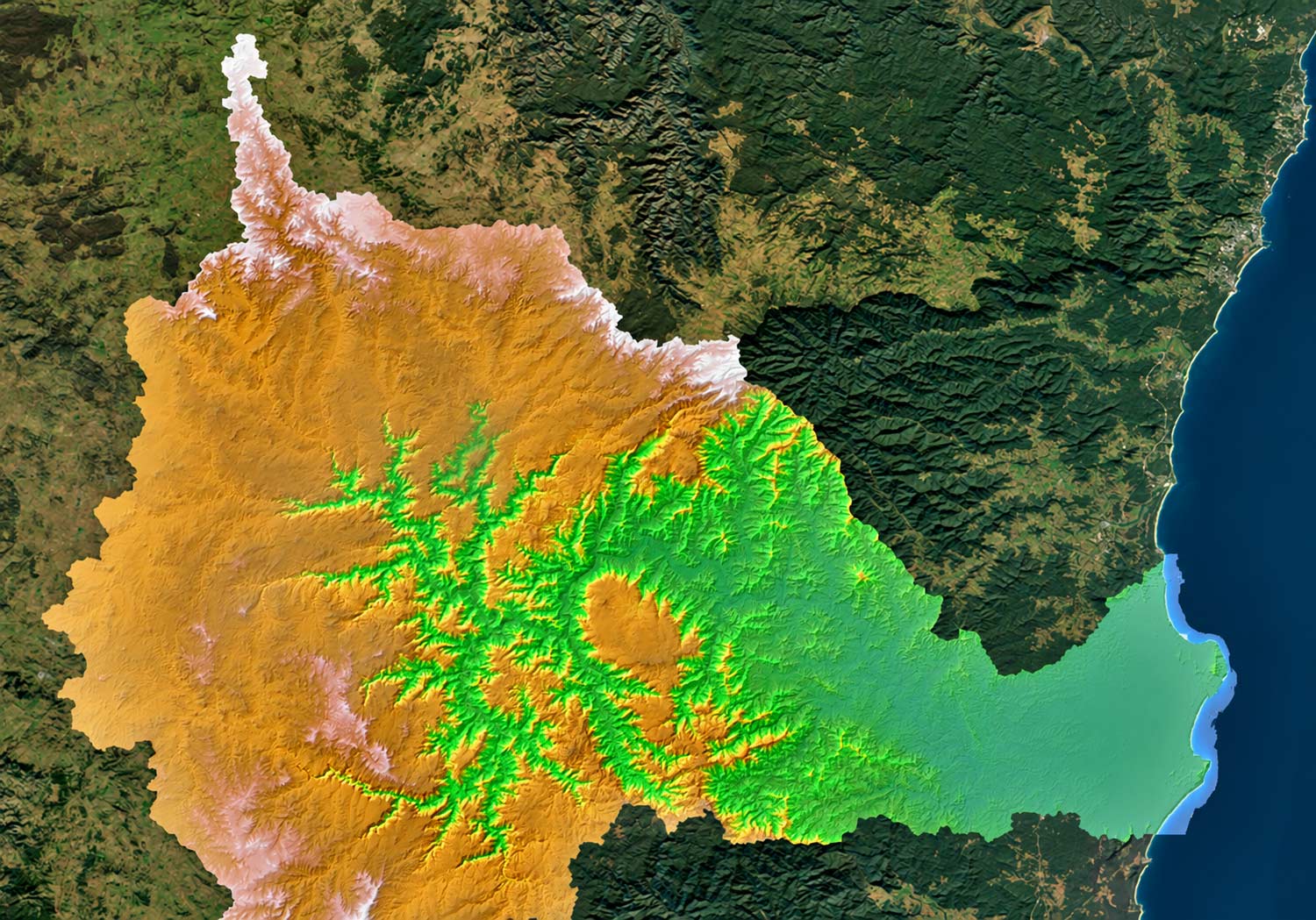
Geoscience Australia creates drainage catchment DEMs using high-resolution elevation data available through ELVIS. These regional models combine multiple datasets into a seamless representation of catchments at 5-metre resolution or finer, helping users analyse how water moves across the landscape.
They support flood modelling, catchment and drainage planning, environmental management, bushfire analysis and infrastructure planning.
Each model includes metadata describing its source datasets, including capture dates, resolution and data custodians.
Explore our collection of drainage catchment elevation datasets
A national foundation built through collaboration
ELVIS is an initiative developed through the Intergovernmental Committee on Surveying and Mapping (ICSM), made possible thanks to the collaboration of data custodians across Australia.
When the platform launched in 2016, it transformed access to Australia's elevation data. Instead of waiting for data through traditional channels or maintaining their own collections, organisations could access elevation data through a single, open access point — reducing the time and cost of accessing and managing this valuable national resource.
Today, ELVIS continues to evolve, responding to Australia's changing geospatial needs and making new elevation data available to support the challenges ahead.
Related resources

Learn what elevation data is, how LiDAR and digital elevation models represent the landscape, and how they support planning.
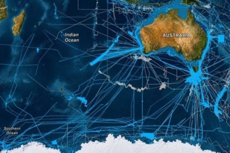
Geoscience Australia leads the AusSeabed collaborative initiative. Access an extensive database of bathymetry, backscatter and seabed sediment information, including AusBathyTopo grids.
Geoscience Australia's ELVIS Elevation Information System has won the Geospatial World Excellence Award for Application of Geospatial Technology in Open Data Platform.