Directory Find and use Australia’s national foundation geospatial data
Page last updated:4 November 2026
Search our platforms and services
Discover, analyse and download curated national datasets by location, data provider or theme. The Digital Atlas brings together trusted data from across government in a user-friendly online platform.

Find and access Geoscience Australia's digital products in one catalogue – including data, maps, publications and services, from historical records to the latest datasets.

Connect to select datasets through web services that let GIS and other applications access and display data directly, without need for download.
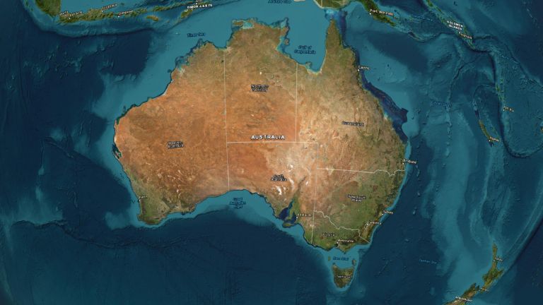
Explore and interpret select Geoscience Australia datasets through interactive maps, visualisation tools and applications.
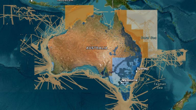
Integrate elevation data into your project. ELVIS provides access to LiDAR point clouds, digital elevation models and other data through a cloud-based platform.
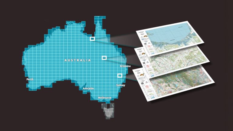
Explore Geoscience Australia’s authoritative national topographic maps and data, including current and historical maps and information available to download for free.
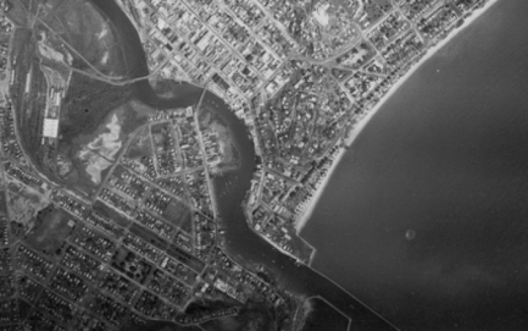
Search our collection of more than 1.3 million digitised historical aerial photographs across Australia to uncover insights into a changing nation, with imagery from 1928 to 1996.
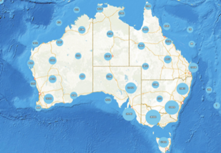
Find and download the official place name information for locations across Australia and its external territories. Names are maintained and updated by jurisdictional custodians.
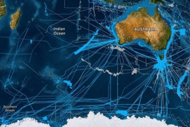
Geoscience Australia leads the AusSeabed collaborative initiative. Access an extensive database of bathymetry, backscatter and seabed sediment information, including AusBathyTopo grids.
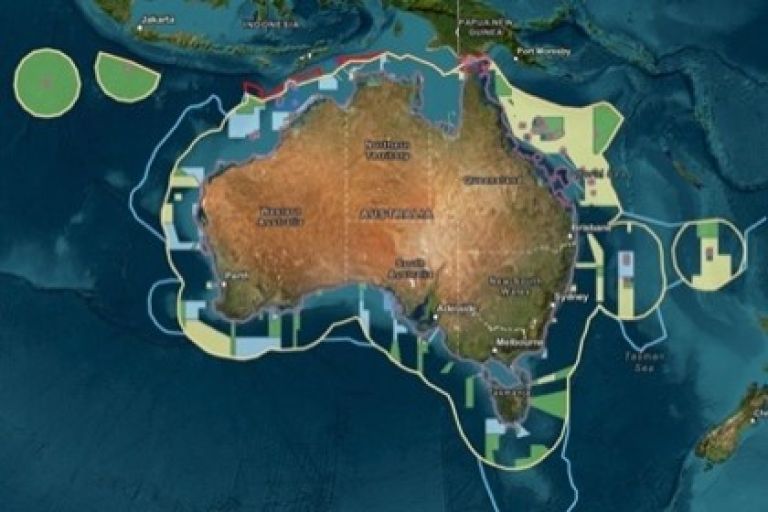
Visualise and download authoritative information relevant to marine spatial planning, governance and the sustainable management of Australia's maritime jurisdiction.

Digital Earth Australia (DEA) is a world-leading digital infrastructure unlocking the potential of over 30 years of satellite images to detect physical changes across Australia in unprecedented detail.