Explainer What is national foundation geospatial data?
Page last updated:4 November 2026
National foundation geospatial data describes the essential features of Australia — including our landscapes, boundaries, transport networks, places, elevation and other information that provides a common understanding of where things are.
It is the frame of reference that allows other information to be connected through place.
Roads, schools, infrastructure and services can be related to one another because they share trusted geospatial references. This connection equips governments, emergency managers, planners, industry and communities to make smarter, place-based decisions.
Among its many applications, national foundation geospatial data supports:
- Infrastructure planning and development
- Land, water and environmental management
- Preparation for hazards and disasters
- Field operations across the nation.
Find and use the data in your next project. Search our directory to national foundation geospatial data.

Strength through coordination
No single organisation creates or maintains all of Australia’s foundation geospatial data. Instead, it is generated and maintained by custodians across many governments, organisations and jurisdictions.
Our National Location Information Branch helps bring this distributed data together through national coordination, shared standards and strategic partnerships.
Alongside maintaining key national datasets, we work with partner data custodians to improve the quality, consistency and interoperability of trusted geospatial data.
Data ready for decisions
Geospatial data is most useful when people can rely on it, connect it with other information, and apply it confidently to real-world decisions.
Our stewardship of Australia's priority national foundation geospatial datasets is guided by principles that strengthen their quality, usability and long-term value.
We maximise the value of these datasets by ensuring they are:
Trusted
To be trusted, national foundation geospatial data needs clear provenance, recognised custodianship and appropriate quality assurance, drawing on authoritative source data wherever applicable.
Easy to find, access and reuse
Data should be discoverable, accessible and usable through services and platforms that reduce technical complexity and support broad reuse across governments, industry and the community.
Designed to work together
Data should be organised using common standards, clear custodianship and interoperable services so it can connect across systems, jurisdictions and uses. Wherever possible it is created once, for use many times.
Together, these principles help turn separate authoritative datasets into a coherent national trusted capability that supports consistent, place-based decisions across Australia.
The frameworks that inform us
Geoscience Australia works with partners across Australia and internationally to strengthen the frameworks, standards and practices that scaffold our national geospatial capability. These help ensure geospatial information can be shared, understood and used consistently across organisations, jurisdictions and borders.
The Foundation Spatial Data Framework (FSDF) has played an important role in Australia and New Zealand, providing logical themes for the organisation of foundation geospatial datasets and supporting consistency and collaboration across Australia and New Zealand. It remains an important reference point for understanding how national foundation datasets relate to one another.
Today, we continue to draw on relevant national and international geospatial frameworks — including through ANZLIC and the United Nations — and partner with governments, industry and technical communities to strengthen coordination and align capability across Australia's geospatial ecosystem.
Learn more about our national and international geospatial partnerships.
Location information at work
We support national priorities by making coordinated geospatial data more available and better connected.
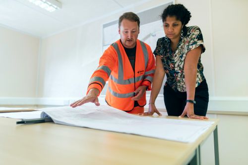
Planning and building the nation
Trusted location information helps governments, planners and industry design the infrastructure, services and communities that support Australia’s future.

Managing land, water and environment
Location information supports better understanding and management of Australia’s landscapes, waterways, coastlines and environmental systems.
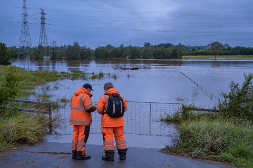
Preparing for flood, fire and climate impacts
A strong national geospatial capability helps Australia understand risk, prepare for hazards and disasters, and respond to a changing climate.
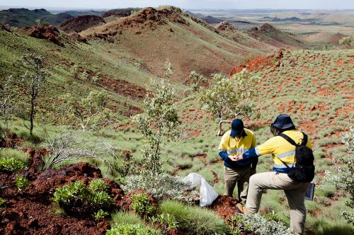
Supporting field operations across Australia
From rescue to recreation and field operations, Geoscience Australia's trusted maps and geospatial data support services across the country.