Location information at work Supporting field operations across Australia
From planning trails and managing Country to rescue and defence, trusted maps and geospatial data help people plan, navigate and make informed decisions on the ground.
Page last updated:4 November 2026

Planning tracks, trails and recreation areas
Elevation data made available through Geoscience Australia's ELVIS Elevation Information System provides a foundation for planning and managing national parks, forests and recreation areas across Australia.
Park managers and planners use our data to shape:
- Trails and boardwalks
- Mountain biking networks
- Roads and 4WD tracks
- Boat ramps and water facilities.
Our 1:250,000 scale topographic maps also support whole-of-park planning, conservation, forestry and land management across Australia.
Discovering Indigenous Ranger groups
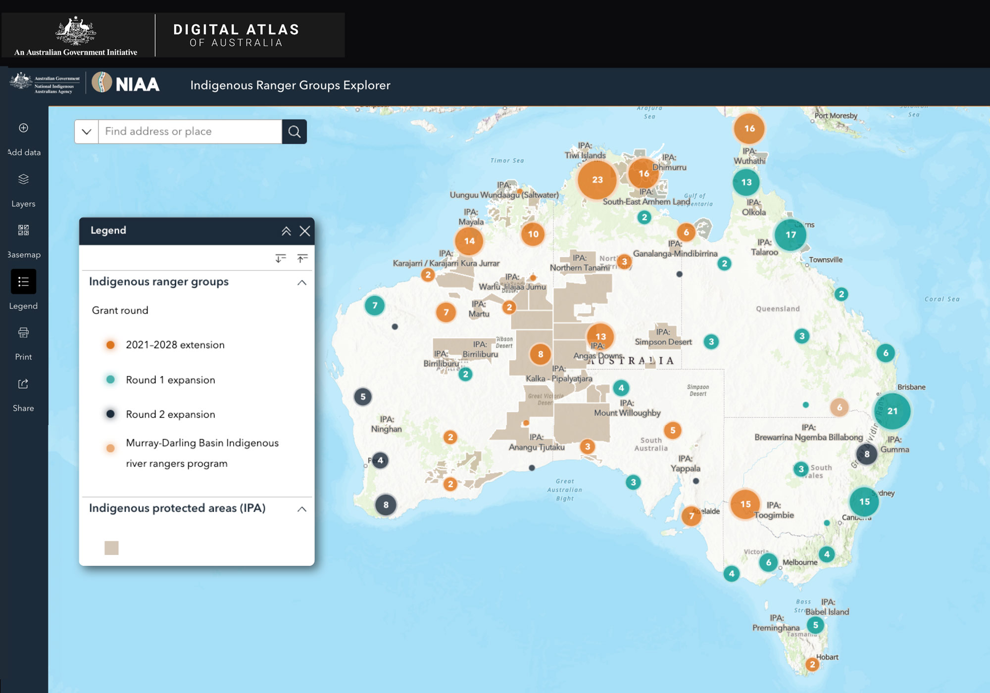
The Indigenous Ranger Groups Explorer brings together authoritative information on ranger groups funded through the Commonwealth Indigenous Rangers Program, making it easier to discover where rangers operate and how their work relates to Country.
Use the Explorer to:
- see where Indigenous Ranger Groups operate
- view group locations alongside Indigenous Protected Areas
- combine ranger data with environmental, hazard and other spatial datasets
- create and export custom maps to support planning and decision-making.
Supporting decisions when time matters
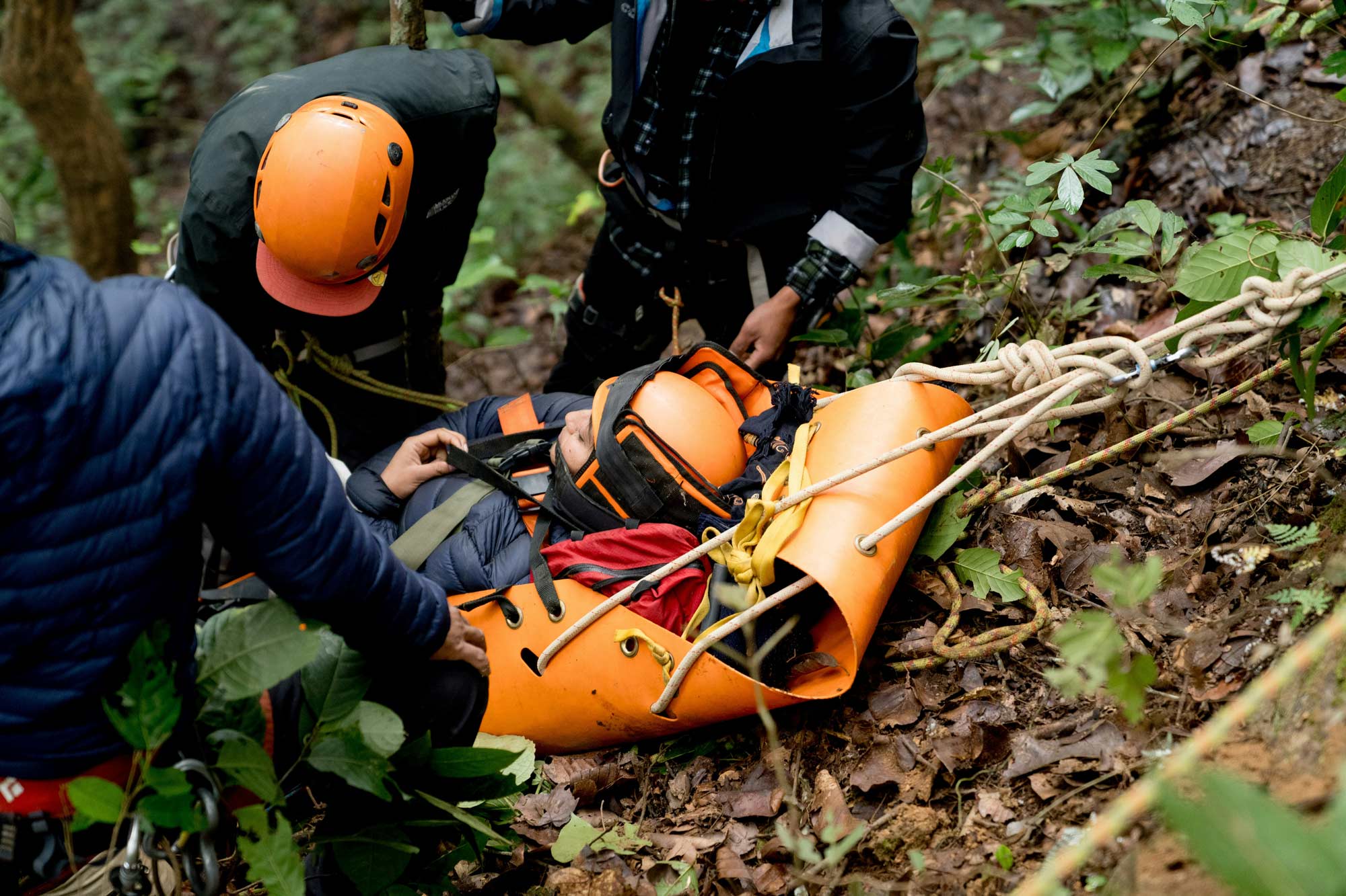
When a search and rescue operation begins, reliable location information is essential for building a shared picture of the situation.
Rescue and incident response organisations around Australia use Geoscience Australia's trusted geospatial data to understand terrain, identify access routes, plan searches, and confidently coordinate and mobilise with partner agencies.
Find and use national foundation geospatial information
See our topographic maps and data
Strengthening geospatial information for Australia’s defence
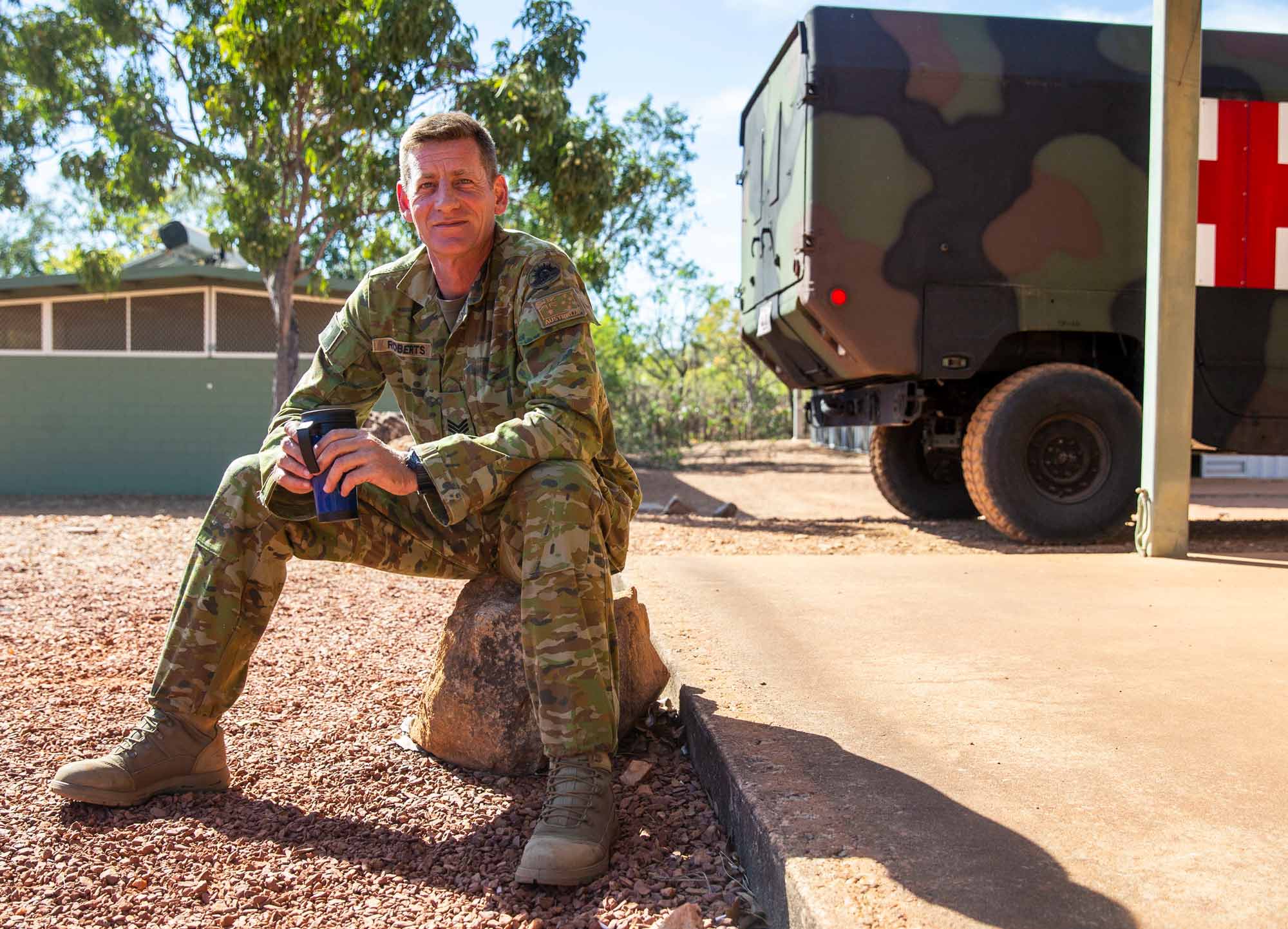
Trusted information about Australia’s onshore geography supports a common operating picture for national planning and response.
Geoscience Australia and the Department of Defence work together to strengthen how spatial information is collected and managed across Australia and its external territories.
We partner with the Australian Geospatial-Intelligence Organisation to ensure Defence’s planning and response activities within Australia are based on the same foundation information used across all tiers of government. This helps agencies and Defence coordinate activities and make informed decisions — for planning military exercises and logistics, and responding when Defence is called upon during major disasters.
Find data and tools for your work
Explore Geoscience Australia's maps, datasets and platforms to apply location information to your projects.
Digital Atlas of Australia
Discover, analyse and download curated national datasets by location, data provider or theme. The Digital Atlas brings together trusted data from across government in a user-friendly online platform.

Australia’s national foundation geospatial data
Search, view and use Australia’s national foundation geospatial data through trusted maps, platforms, portals and services.
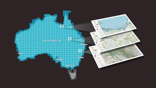
Topographic Maps Explorer
Explore Geoscience Australia’s authoritative national topographic maps and data, including current and historical maps and information available to download for free.
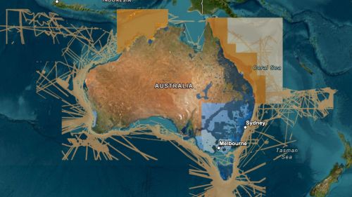
ELVIS Elevation Information System
Integrate elevation data into your project. ELVIS provides access to LiDAR point clouds, digital elevation models and other data through a cloud-based platform.