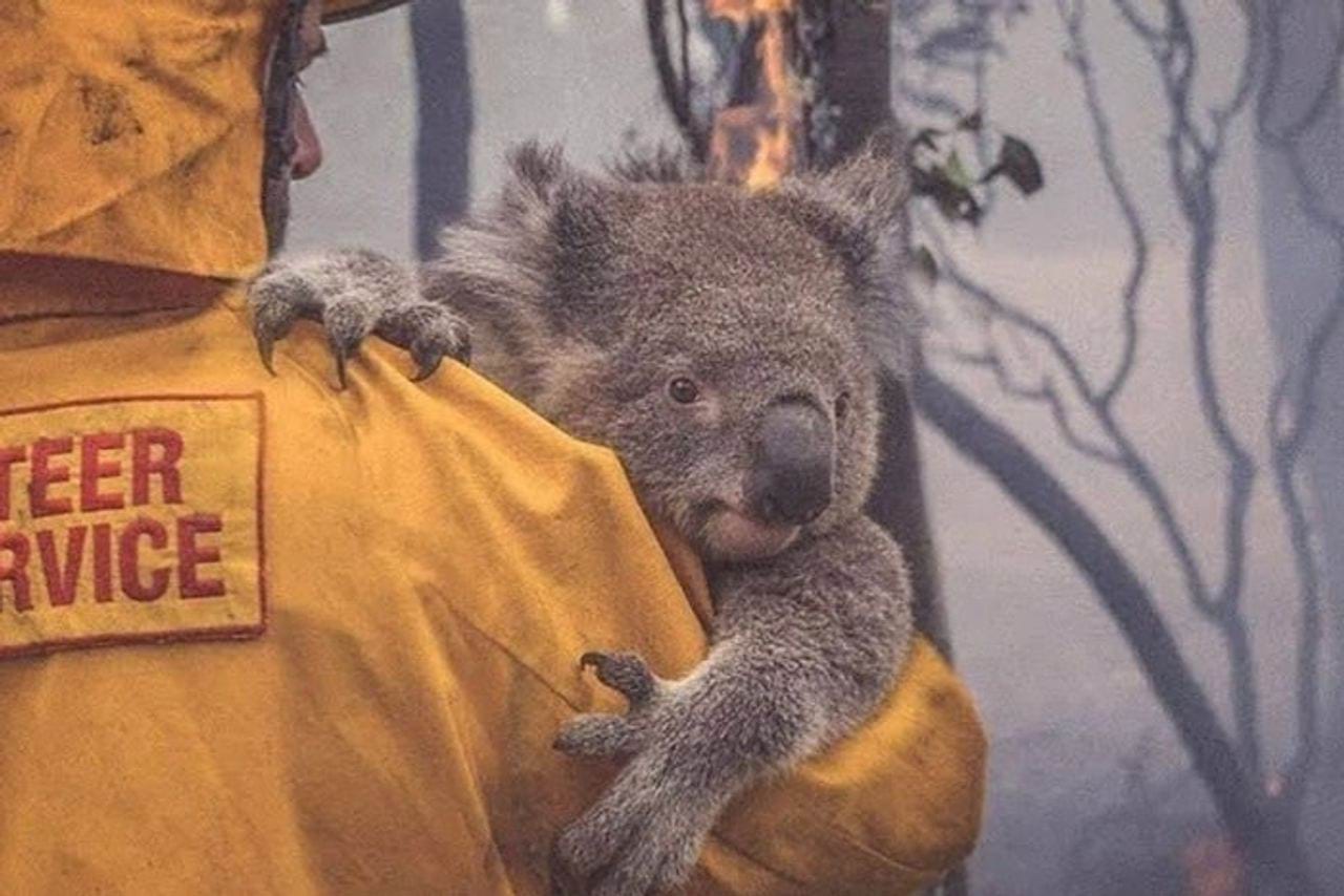
Community Safety Make informed decisions to improve community safety
How we support your sector
Our natural hazard resources can help your organisation be better prepared
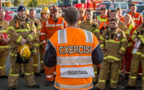
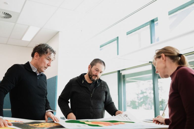
Emergency managers
We offer a range of scientific tools to help emergency services plan and prepare for natural hazards, with the goal of reducing their impact when they do occur.

Government
Our scientific community safety resources can help inform robust government policy making with an evidence-based understanding of natural hazards.
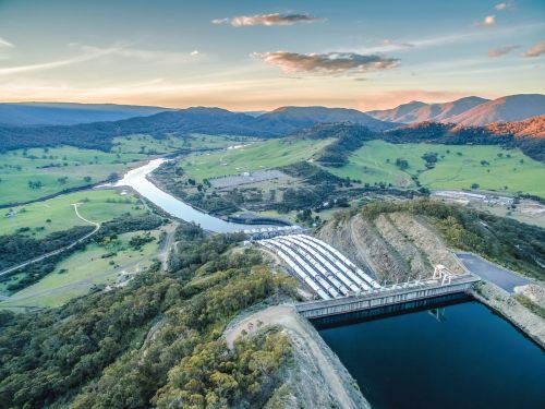
Infrastructure
Our scientific tools and resources can help the infrastructure industry understand the exposure and vulnerability developments may have to natural hazards.

Industry
Our scientific tools and resources can help industry understand the exposure and vulnerability businesses may have to natural hazards.

Insurance
Our modelling and estimation resources helps the insurance industry better prepare for natural hazards with premium modelling.
Academia
We research and collaborate on projects to build a strong range of data, tools and publications for man-made and natural hazards.

International development
We work with governments, Industry and NGOs across the Asia Pacific to strengthen their capacity and resilience to natural hazards.
Our work forms part of the backbone behind the most important decisions made by governments, emergency services, and the industry sector.
We contribute to each stage of the emergency management cycle to help improve preparedness, response and recovery with our focus on contributing towards community safety.

With the latest science and technology, and a growing catalogue of freely available open-source data, we provide the community safety sectors with information they need to minimise everybody's vulnerability to natural hazards.

Our team of earth system scientists, mathematicians and engineers bring expertise on how to be better prepared for the consequences of natural hazards.
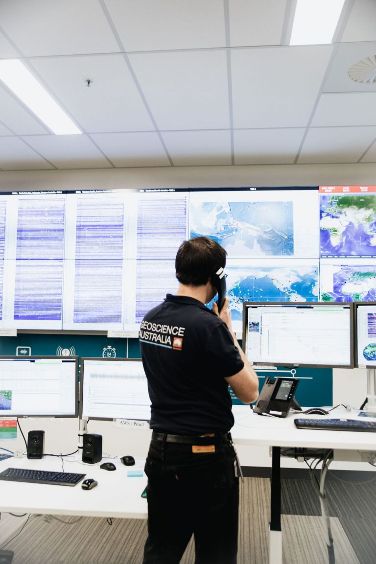
We inform the Australian Government and other stakeholders of the likelihood of natural hazards and their consequences to community safety.
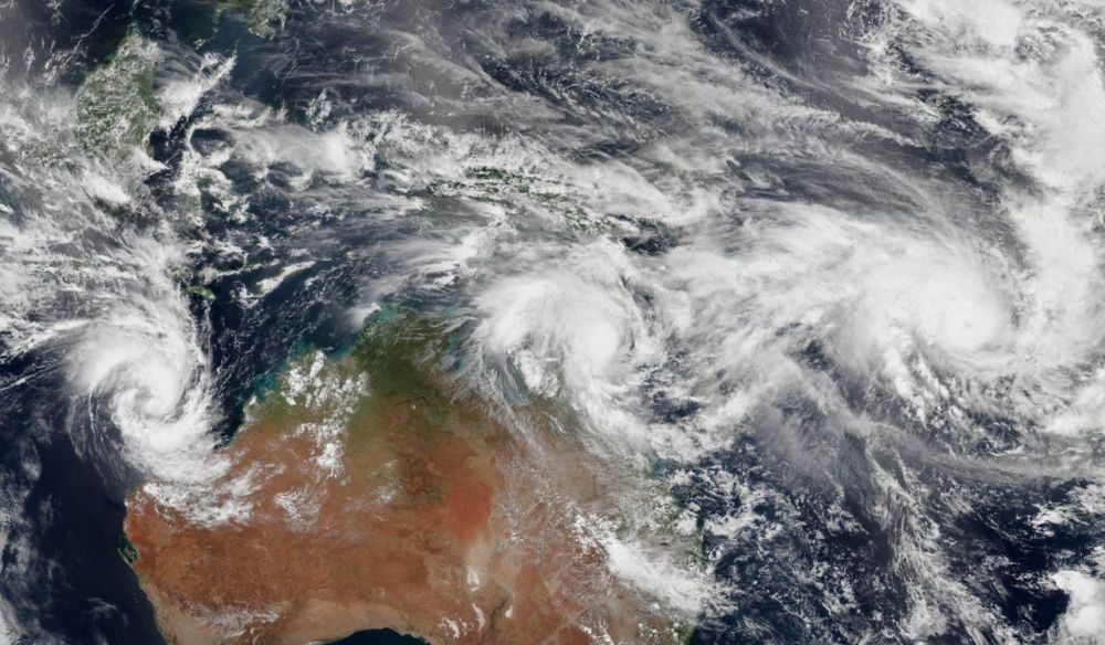
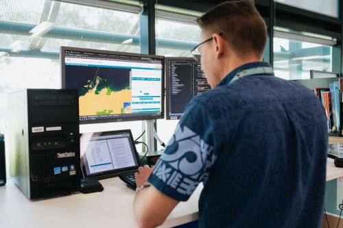
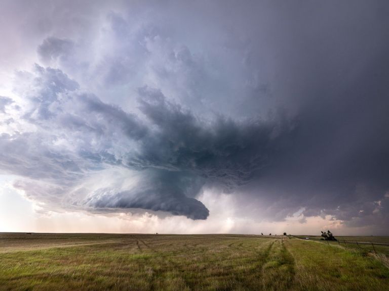
Case study Partnering with QFES for tropical cyclone hazard assessment
How science and data were combined to help Queensland’s emergency managers plan for and reduce the impacts of tropical cyclone hazards.