Scientific topics Marine and coastal
Page last updated:13 January 2026

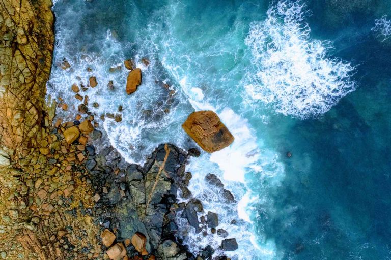
Coasts and estuaries form a dynamic, transition zone between the land and the sea and help Australians achieve many economic, social and environmental benefits.
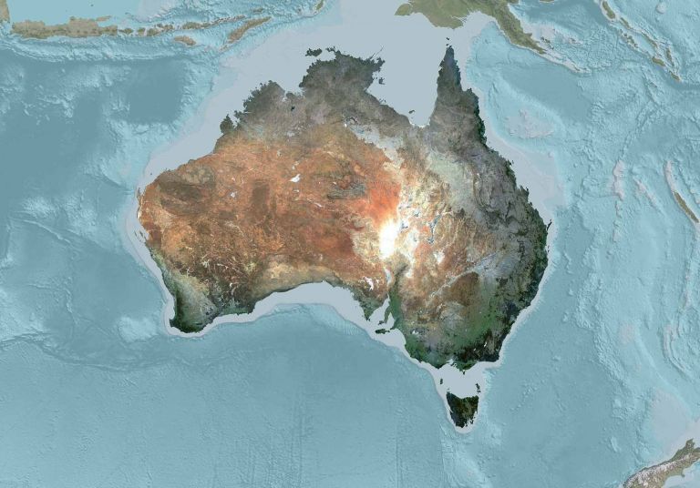
As an island continent, Australia has sovereign rights over a vast area of ocean, along with the fishery, mineral, and petroleum resources found in that area.
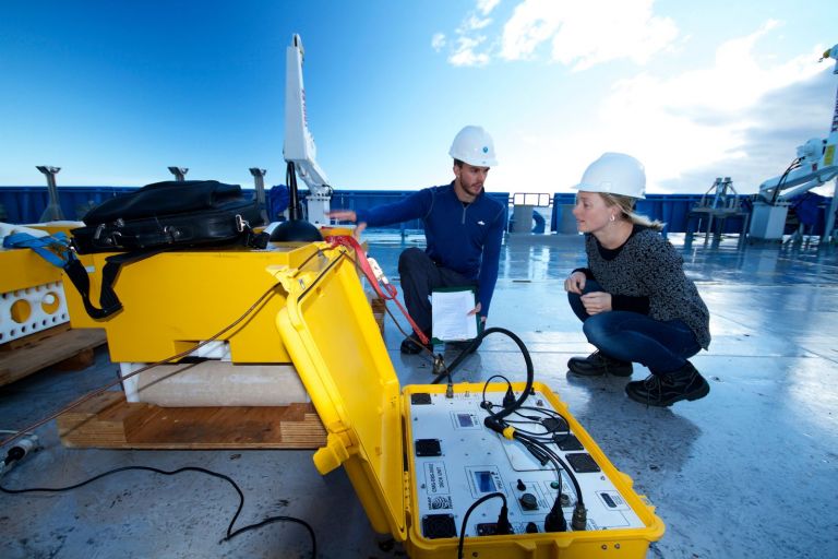
Details on the techniques used in marine and coastal research, including sediment coring, seabed drilling, sonar, seismic, biological sampling, photography and video recording.
Geoscience Australia has a central coordinating role to bring seabed mapping data together from many sources and make it publicly available and usable.

The Australian Antarctic Territory (AAT) comprises 5.9 million square kilometres, or approximately 42 per cent of the Antarctic continent, with a marine jurisdiction extending over an area of approximately 2.2 million square kilometres.

Mapping the seabed, setting data standards and leading guidance to streamline approvals and advance Australia’s offshore renewable energy industry.