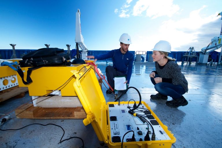
Marine and Coastal Survey Techniques
Page last updated:27 June 2014
In order to understand which animals are able to live under particular conditions, ecologists at Geoscience Australia use a range of methods to sample the seafloor.
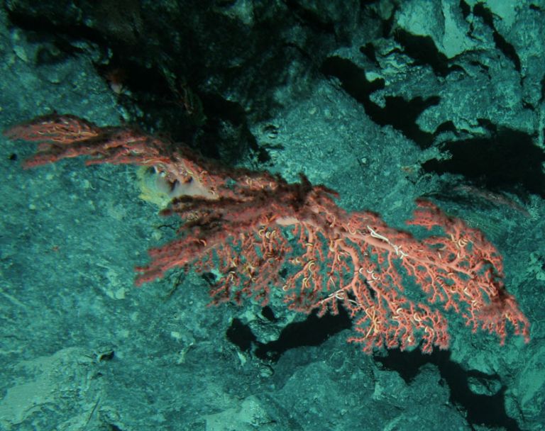
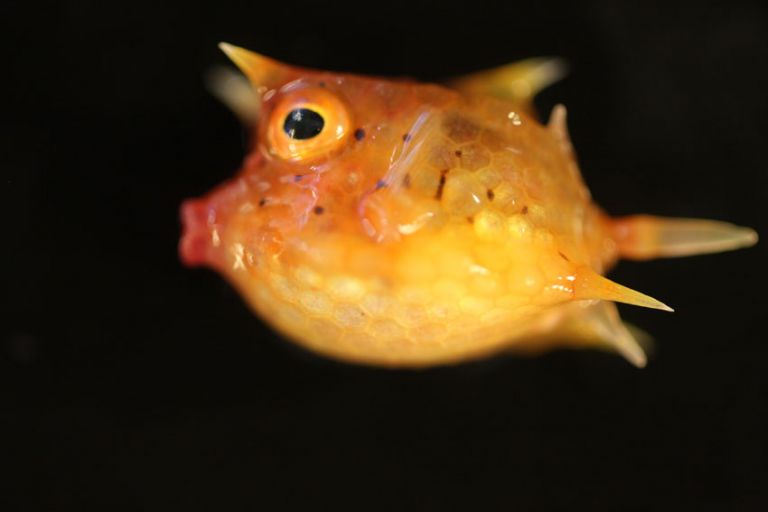
Images of the seafloor are collected using video and still-photography cameras to allow scientists to study the seabed (benthic environment).
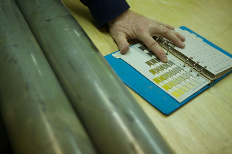
Scientists use coring, drilling and sediment sampling equipment, to collect sediment and rock samples from the seafloor and the top few metres of the substrate.
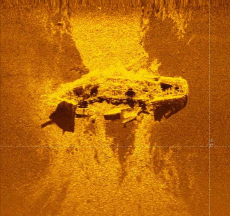
Marine geologists use sidescan sonar, multibeam sonar and shallow water sub-bottom profiling equipment to map the seafloor.
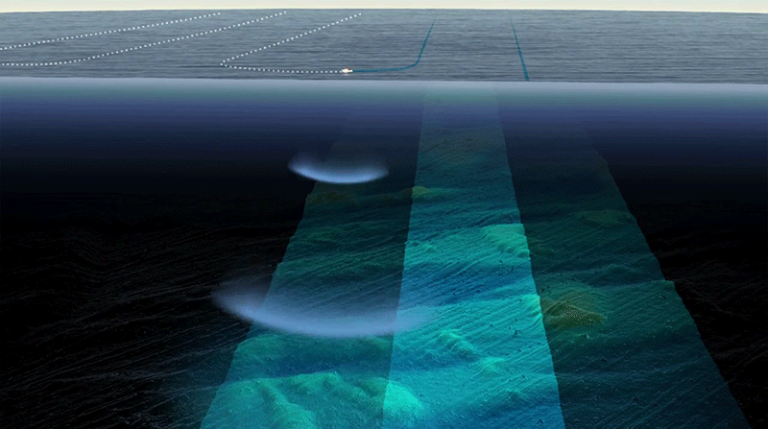
Backscatter data provides information on the ‘hardness’ of the sea floor and is used to differentiate between different types of sea floor, such as hard rock or soft sediment.