Geophysical Acquisition and Processing Section
Page last updated:16 July 2021
Section description
Geoscience Australia's Airborne Geophysics and Ground Gravity Acquisition and Processing (GAP) Section is an active concentration of specialists engaged in the acquisition, processing, archiving, enhancement, presentation and interpretation in the fields of airborne geophysics and ground gravity. The team also is involved in the development of new computational methods which can be applied to geophysical data. The GAP Section is the authoritative custodian of geoscientific data to equip government, industry and community to make informed decisions. Examples include but are not limited to:
- Geoscience Australia projects engaged in studies of mineral systems, geological mapping, mineral province studies, sedimentary basin studies, definition of the geoid, as well as water management, land use and environmental projects
- exploration companies
- organisations involved in the identification of areas at risk of salinity and its management
- agricultural and environmental organisations
- organisations developing infrastructure projects
- educational and research institutions
- other government departments.
Geoscience Australia is the custodian of the most comprehensive publicly available Australian airborne magnetic, gamma-ray, elevation model, electromagnetic and gravity data. The gravity database contains more than 1.85 million reliable onshore stations gathered during more than 1850 surveys. All the products and research results from the GAP Section are publicly available for use under Creative Commons Attribution 4.0 International Licence.
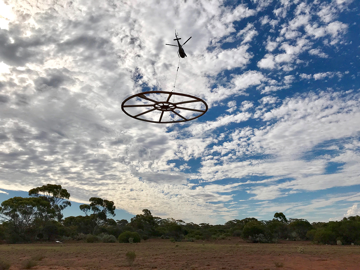
Helicopter-borne Xcite AEM system operated in Australia by New Resolution Geophysics
Section outcome
By delivering this wealth of information under Creative Commons 4.0 GAP assists Geoscience Australia to achieve its strategic plan by:
- Providing pre-competitive data that supports mineral, energy and groundwater exploration strategies and resource development across Australia
- Supplying data for geo-hazard mapping and modelling
- Processing and providing image data that aids in managing Australia’s marine jurisdictions.
- Developing techniques and processing methodologies to maximise data potential, usability and quality for now and in the long term
Section deliverables
National Geophysical Data Acquisition and Stewardship including:
- Processing, inversion, archiving and delivery of national magnetic, gravity, radiometric and airborne electromagnetic (AEM) data
- Research into the development and application of computational methods for geophysical data inversion and building 3D geological models
- Management of data acquisition for the States/NT under National Collaboration Framework Agreements
- Establishment of survey-data quality control benchmarks, calibration ranges and process flows to ensure common standards across Australia and data longevity
Australian Fundamental Gravity Network (AFGN)
- Support, maintenance and delivery of the Australian gravity reference datum
Exploring for the Future (EFTF)
- Management of data acquisition, processing and delivery of airborne geophysical datasets for the purposes of mineral, energy, and groundwater resource exploration including AusAEM 1 and AusAEM 2. AusAEM 20 in Western Australia is currently being conducted under different funding