Satellite imagery at work Government
Page last updated:23 October 2024
Informing decisions, from council to Commonwealth
Accurate, up-to-date spatial information is a vital resource for Australia’s public sector.
Digital Earth Australia (DEA) offers petabytes of free, pre-processed satellite imagery and analysis ready data for any project, whether public or private.
Our data can be viewed and accessed via DEA Maps, downloaded, or integrated as a web service on other platforms. Our open source products and information are calibrated to Australian conditions and validated according to international standards.
Our data products help public services analyse our beaches, measure surface water presence, and support economic, climate and environmental accounting.
Want to explore how our data can enhance your projects and better serve you and the public?
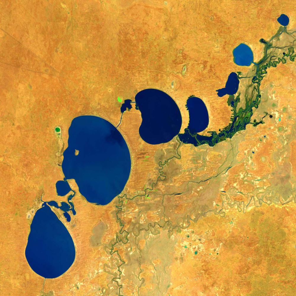
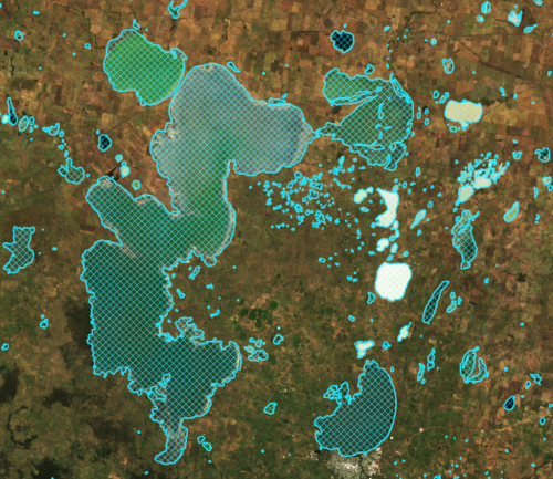
Protecting a precious resource in the Murray-Darling Basin
DEA datasets have helped raise New South Wales’ capacity for water governance by 500 per cent.
Discover how our data supports the Murray-Darling Basin Authority in managing one of Australia’s most vital water resources.
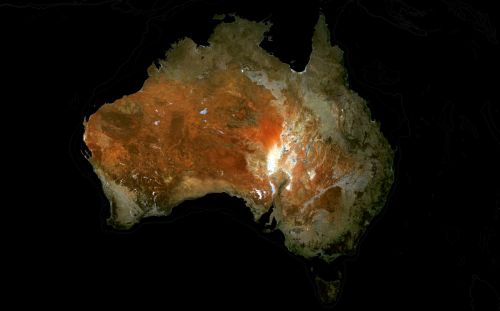
Satellites for sustainable development
Satellite data plays a crucial role in economic accounting and advancing Australia’s progress towards the 2030 UN Sustainable Development Goals.
Related Resources
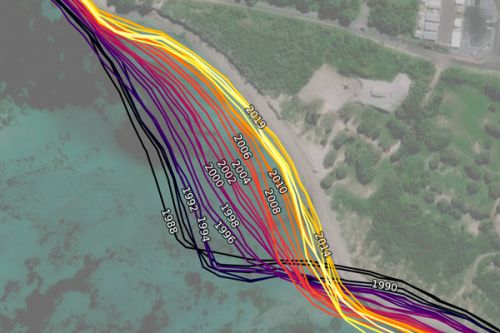
DEA Coastlines
Satellite data combined with tidal modelling to map typical annual locations of mean sea level coastlines since 1988.
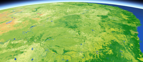
DEA Land Cover
Satellite data insights into land, vegetation, and waterbodies changes down to every square 30 metres across Australia since 1988.
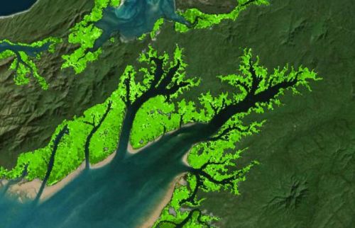
DEA Mangrove Canopy Cover
Annual maps breaking canopy into three classes according to greenness of satellite image pixels at 30 m resolution.
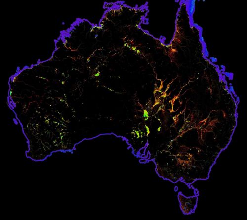
DEA Water Observations
Continent-scale map of surface water that classifies each pixel from Landsat satellite imagery as wet, dry or invalid.
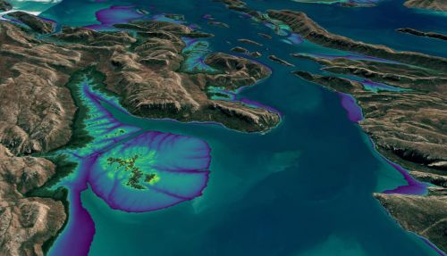
DEA Intertidal
Digital Earth Australia’s Intertidal product suite captures Australia’s dynamic coastal regions in unprecedented detail.
DEA Waterbodies
View the mapping of more than 300,000 waterbodies across Australia with wet surface area present more than 10% of the time.
DEA GeoMAD
A geometric ‘average’ based on culminative statistical data from each year.