Maritime jurisdiction Australia's Maritime Jurisdiction Maps Series
Page last updated:27 August 2026
To support decision-making, Geoscience Australia produces a series of large-format printable maps and spatial products that provide cartographic representations of key areas of Australia’s maritime jurisdiction.
Developed in consultation with the Attorney-General's Department and the Department of Foreign Affairs and Trade, these products illustrate Australia's maritime zones and limits using trusted maritime boundary information derived from the Australian Maritime Boundaries 2020 (AMB2020) dataset, including Australia's continental shelf limits recognised under the United Nations Convention on the Law of the Sea (UNCLOS).
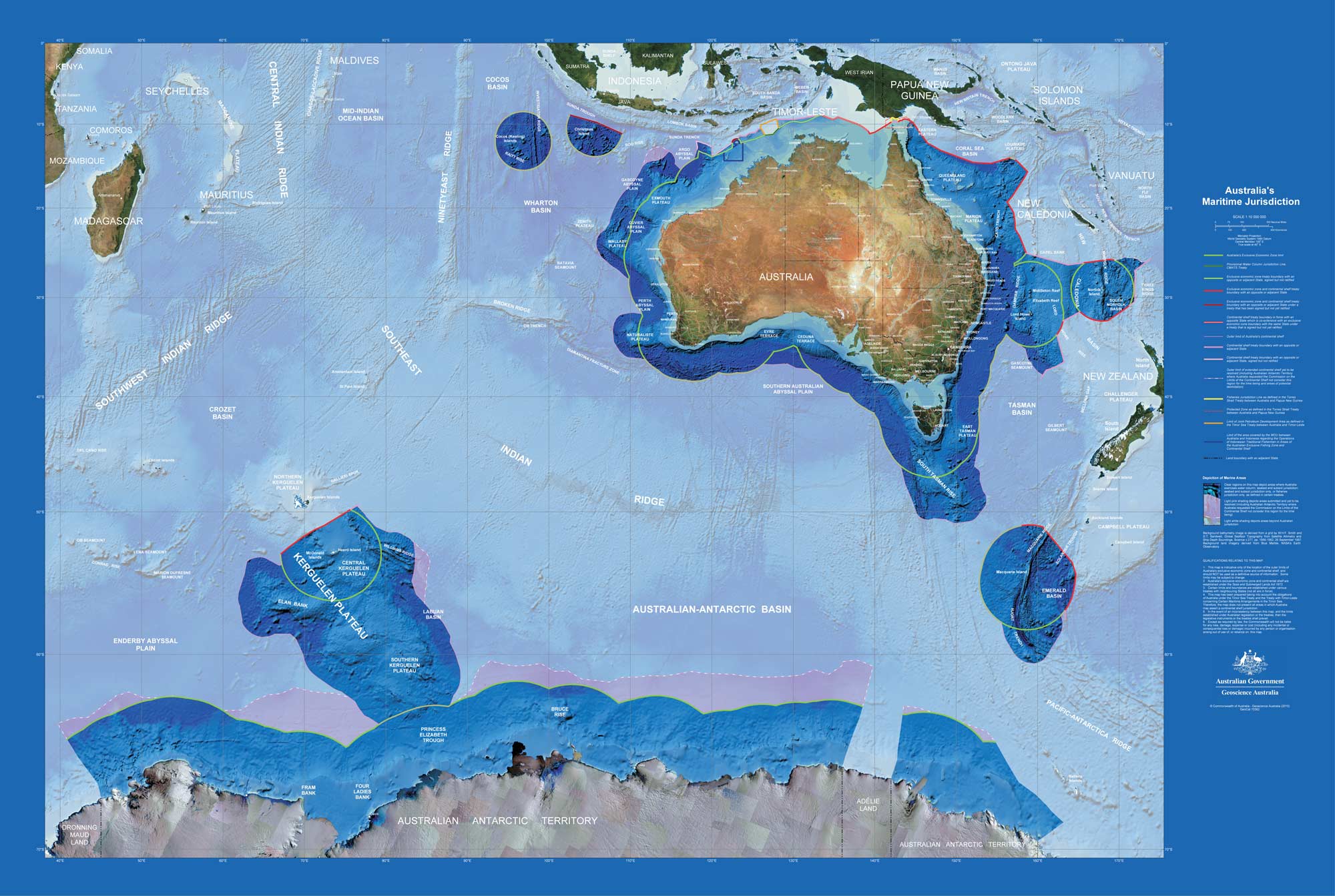
The Australian Maritime Jurisdiction (AMJ) wall map is designed to allow download and printing in large format
The AMB2020 can also be seen on a digital map via the online Australian Marine Spatial Information System.
Australia’s Maritime Jurisdiction Maps Series is supported by ongoing maintenance of Australia's maritime boundary data to ensure they reflect current geographic and legislative frameworks.
Specialised maps have also been produced to illustrate particular aspects of Australia's maritime jurisdiction that cannot be effectively represented within the standard map series.
Please contact maritime@ga.gov.au if you require a map from the series.