Maritime jurisdiction We use geography to connect jurisdiction, governance and regulation
Geoscience Australia provides national expertise at the intersection of maritime legislation and geospatial information. Our maps, data and advice support the definition and administration of Australia's maritime jurisdiction and make information about rights, restrictions and responsibilities at sea easier to access and interpret.
Page last updated:27 August 2026
See authoritative marine information in one place
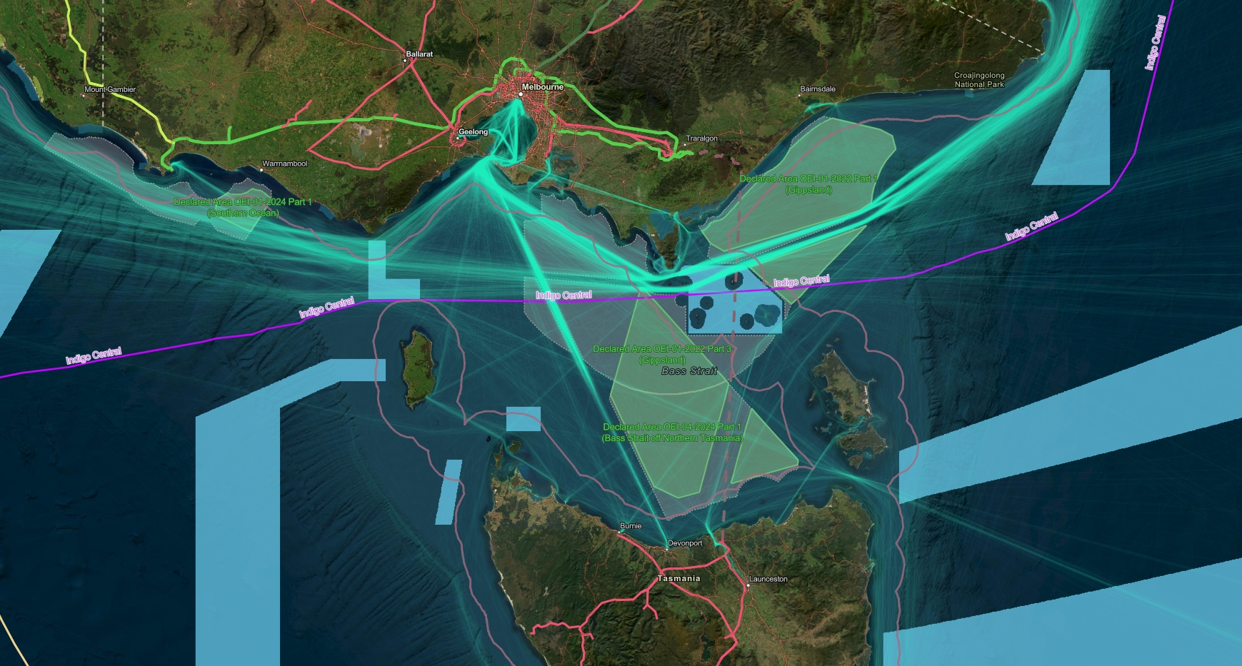
Understand what applies where
The Australian Marine Spatial Information System (AMSIS) brings together authoritative information about maritime boundaries, marine zones, activities, and regulations in a single location — making complex marine information easier to access, understand and use.
Used by government, industry, researchers and the public, AMSIS supports marine planning, policy development, research, regulation and investment.
Access our data and maps
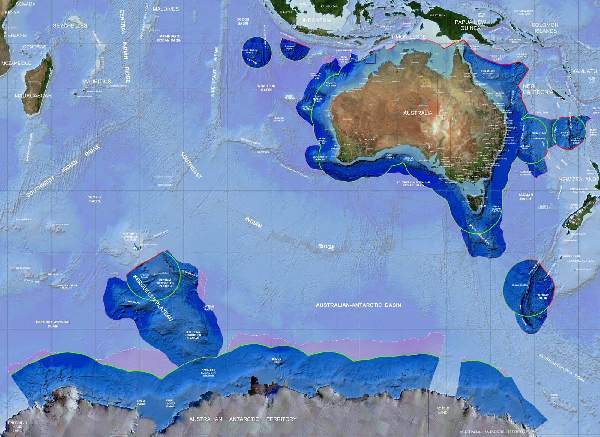
Explore and download authoritative datasets that can be viewed, integrated and reused across mapping and spatial analysis applications.
These include:
- Australian Maritime Boundaries 2020
- Treaties - Australian Maritime Boundaries 2020
- Offshore Petroleum and Greenhouse Gas Storage Act 2006
View and print Maritime Jurisdiction Maps
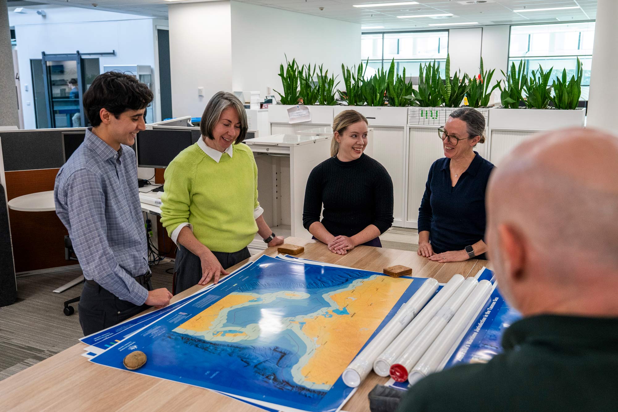
In partnership with the Attorney-General's Department and the Department of Foreign Affairs and Trade (DFAT) we produce large A0-size printable maps depicting areas of Australia's maritime jurisdiction.
Our maritime jurisdiction advisory role
Maritime boundaries help define where Australia's rights and responsibilities apply at sea.
Geoscience Australia maintains Australia's maritime boundary information and provides technical advice, guidance and spatial frameworks that enable the consistent interpretation and administration of Australia's maritime jurisdiction.
This work begins with accurately defining Australia's coastal baselines and extends through to the maritime limits and boundaries that underpin government decisions offshore.
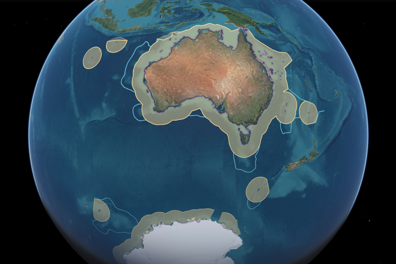
How do maritime boundaries work?
Maritime jurisdiction is built on coastlines, baselines, maritime zones, and domestic and international law. Explore the concepts, calculations and legal frameworks that define Australia's rights and responsibilities at sea:
- What is Australia's maritime jurisdiction?
- How are Australia's maritime boundaries calculated?
- What is the legal framework behind Australia's maritime jurisdiction?
- How long is Australia’s coastline — and other FAQs.

Coastlines, baselines and sea level rise
Sea level rise connects changes across land, coast, ocean and maritime jurisdiction.
By measuring and mapping these connected environments over time, Geoscience Australia helps reveal where change is occurring and what it may mean for Australia and our region.