Location information at work Managing land, water and environment
We make geospatial data available for use across Australia to understand landscapes, manage natural resources and make better decisions about the environment.
Page last updated:4 November 2026

Understanding how water moves across the land
Australia’s elevation data helps farmers, planners and engineers understand where water will flow — and where it may collect.
Made openly available through the ELVIS Elevation Information System, elevation data is used to build detailed terrain models that reveal slopes, natural watercourses, catchments and potential areas of ponding.
From local creek to catchment scale, these insights support agricultural decision-making, drainage design, stormwater management and environmental planning.
Find elevation data for your project
Explore our catchment elevation models
Putting Australia’s land cover and use in context
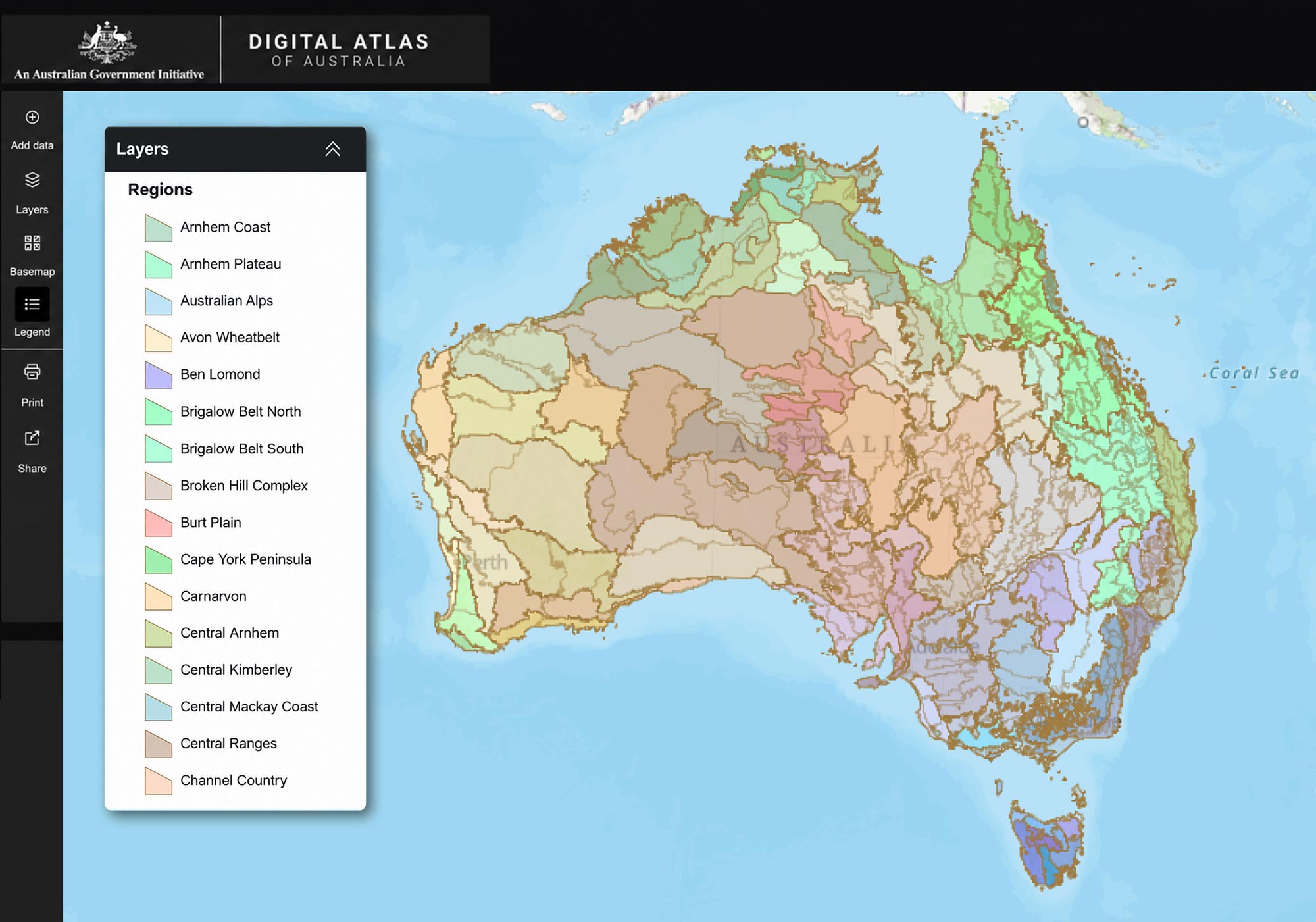
The Digital Atlas of Australia brings together trusted land datasets that can be compared, analysed and combined with other information.
Find and connect information about how land is used, managed and shaped by natural systems and human activity.
Investigate land-use patterns, identify areas of environmental risk and support conservation, agriculture and water management.
Datasets include land cover, catchment-scale land use, land tenure, geology and soils, and information about forests and wetlands.
Explore all land data in the Digital Atlas
Find more environmental geospatial data via our Directory
Revealing environmental change over time
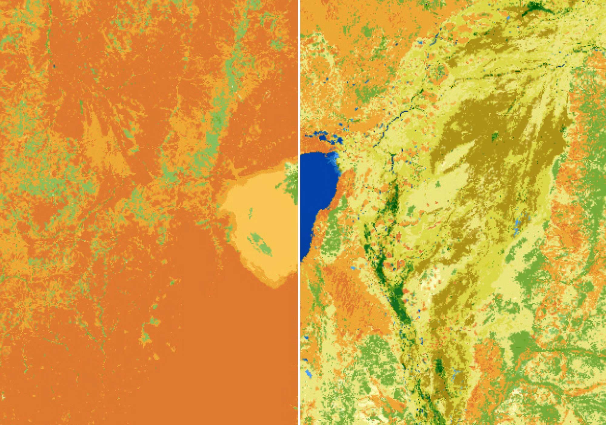
Geoscience Australia’s Digital Earth Australia transforms almost 40 years of satellite imagery into trusted Earth observation data, products and insights across Australia’s land, water and coasts.
By making change visible and measurable, Earth observations support better informed decisions for national priorities like resource management, agriculture, environmental monitoring, emergency preparedness and more.
Explore Digital Earth Australia’s data, products and insights
Uncovering the hidden history of your land
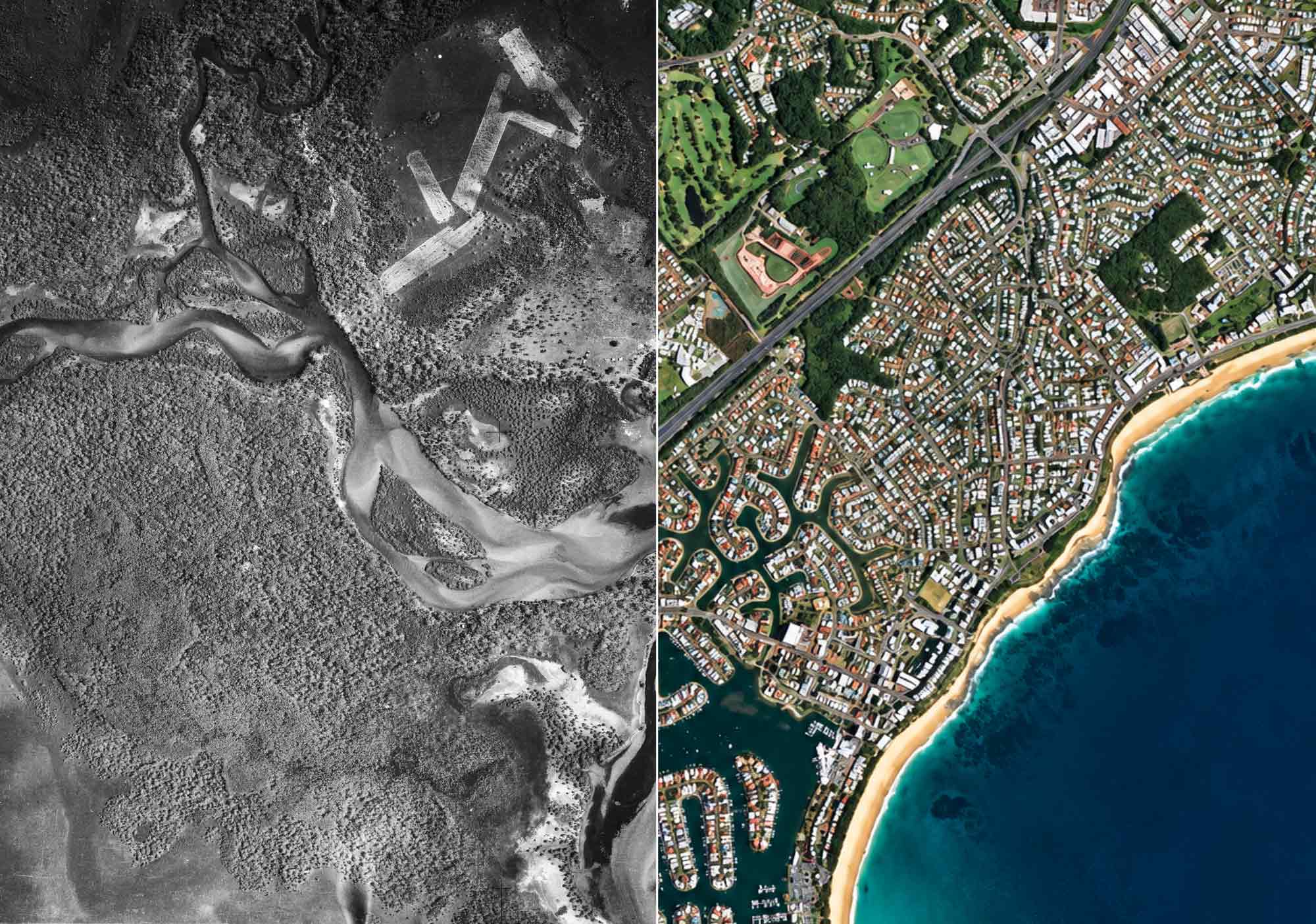
Historical aerial photography provides a window into Australia’s past, showing how landscapes, vegetation, waterways and patterns of land use have changed over decades.
Compare historic and present-day imagery to reveal:
- Growth of towns, roads and infrastructure.
- Changes in rivers, coastlines, vegetation and land use.
- The impacts of agriculture, mining and natural disasters.
- Historic features that no longer exist, such as buildings, tracks and wetlands.
Combined with modern mapping and satellite imagery, historical aerial photographs provide a unique timeline of environmental and human activity.
Learn more about historical aerial photography
Explore the collection
Find data and tools for your work
Explore Geoscience Australia's maps, datasets and platforms to apply location information to your projects.

Digital Atlas of Australia
Discover, analyse and download curated national datasets by location, data provider or theme. The Digital Atlas brings together trusted data from across government in a user-friendly online platform.

Australia’s national foundation geospatial data
Search, view and use Australia’s national foundation geospatial data through trusted maps, platforms, portals and services.
Topographic Maps Explorer
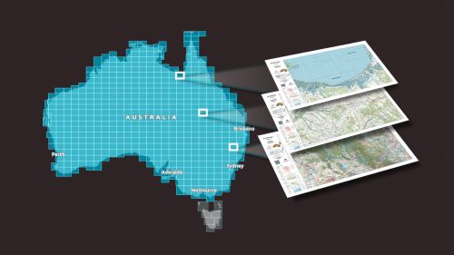
Explore Geoscience Australia’s authoritative national topographic maps and data, including current and historical maps and information available to download for free.
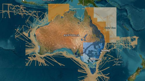
ELVIS Elevation Information System
Integrate elevation data into your project. ELVIS provides access to LiDAR point clouds, digital elevation models and other data through a cloud-based platform.