Our national role About the National Location Information Branch
Australia relies on location information to understand its geography, deliver essential services and build the systems and infrastructure of the future. Through the National Location Information Branch, Geoscience Australia helps ensure this information is trusted, connected and available to inform decisions across government, industry and the community.
Page last updated:4 November 2026
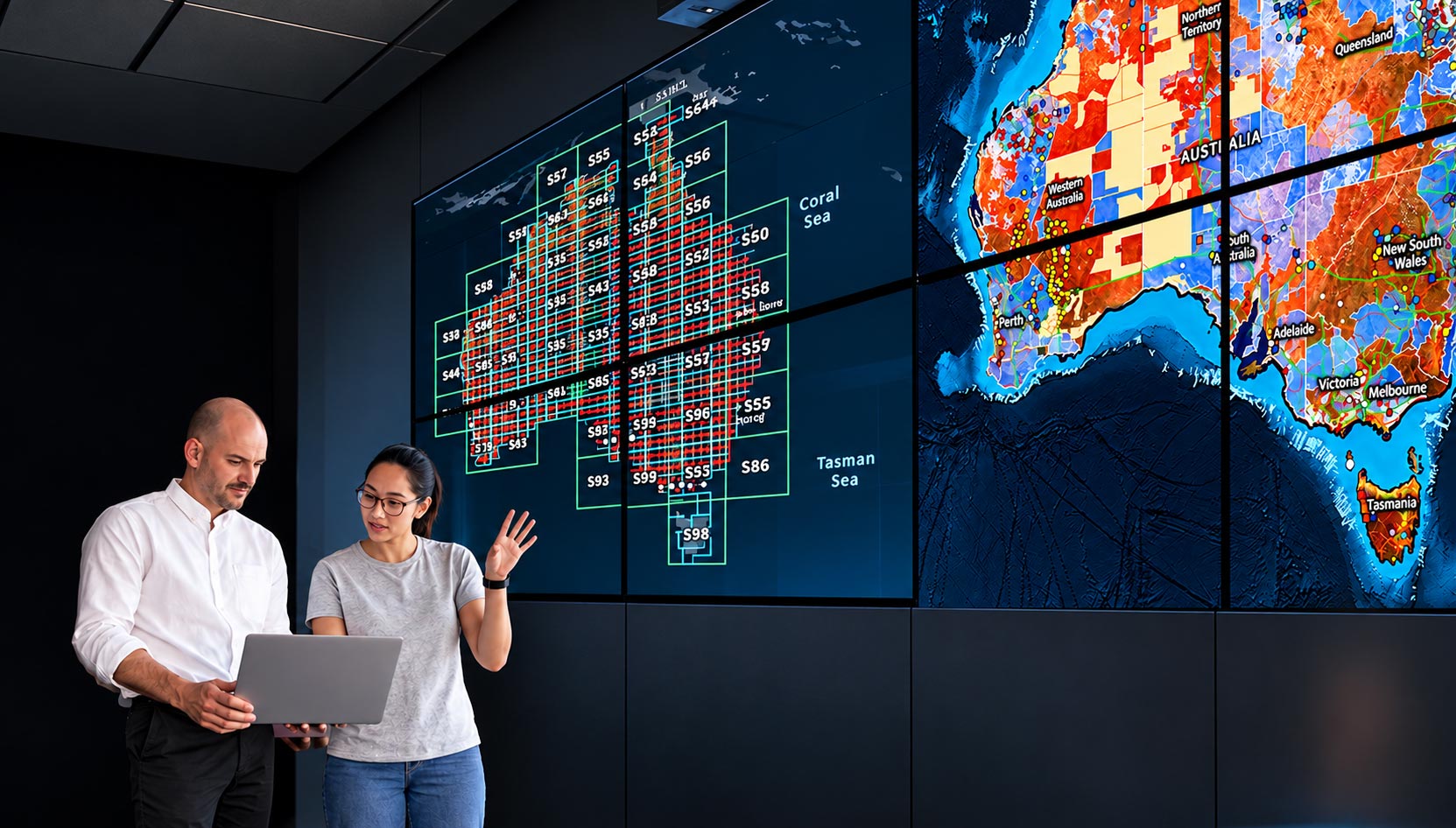
Coordinating a national asset
Location, or geospatial, information describes the essential features of Australia that enable a shared understanding of place. A vital national asset, it underpins the maps, services, policies and systems that Australians rely on every day.
But location information does more than describe where things are. It provides a common geographic reference that allows information from across government, industry and research to be connected.
With a reliable geographic reference, diverse information can be brought together and analysed in new ways, generating insights that support better decisions about Australia’s future.
Through the coordination of national foundation geospatial data and the delivery of products and platforms that make it accessible, Geoscience Australia helps build the national capability and infrastructure that makes this possible.
Leading stewardship across silos
Australia's geospatial data is created and maintained by many organisations, often for different purposes and in different ways. Variations in how the data is collected, managed and shared can create challenges for its wider use, limiting its value.
As the Australian Government's trusted source of geospatial advice, Geoscience Australia partners with governments, industry and community data custodians to strengthen the national geospatial ecosystem— establishing common standards, reducing duplication, addressing gaps, and improving the accessibility, interoperability and reuse of Australia's geospatial data.
Together, we're bringing fragmented data together to build a more complete picture of the country — turning information held by many organisations into a coherent national capability.
Unlocking the potential of our maps
Geoscience Australia has a longstanding role in delivering authoritative national mapping services, providing an understanding of land and sea that Australians rely on to plan, protect, respond and grow.
Today, we’re extending the reach and value of these services — delivering data-rich digital representations of Australia’s landscape that make the information behind our maps easier to connect, combine, update and reuse across a wide range of applications.
Building on our mapping foundations, we’re providing comprehensive, curated and nationally consistent geospatial information, supporting a deeper understanding of Australia’s people and places.
Innovating for the future
Australia's demand for trusted location information will continue to accelerate as government services become more connected, the systems we rely on become more sophisticated, and emerging technologies create new ways to understand and interact with our environment. As these needs evolve, so must the national capability that supports them.
By exploring and adopting new technologies and approaches, remaining at the forefront of stewardship and coordination, and strengthening our data infrastructure, partnerships and standards, we’re building the sustainable and resilient national geospatial capability Australia needs for tomorrow.
See how national location information helps drive the Geoscience Australia Strategy 2026–2036.
Learn more
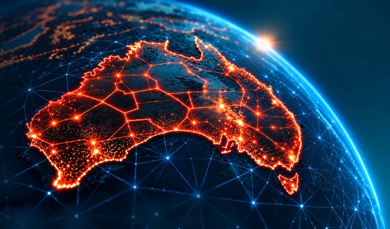
Geoscience Australia strengthens Australia’s geospatial capability through national mapping, trusted geospatial data and products, and national coordination to support better decisions.
Search, view and use Australia’s national foundation geospatial data through trusted maps, platforms, portals and services.
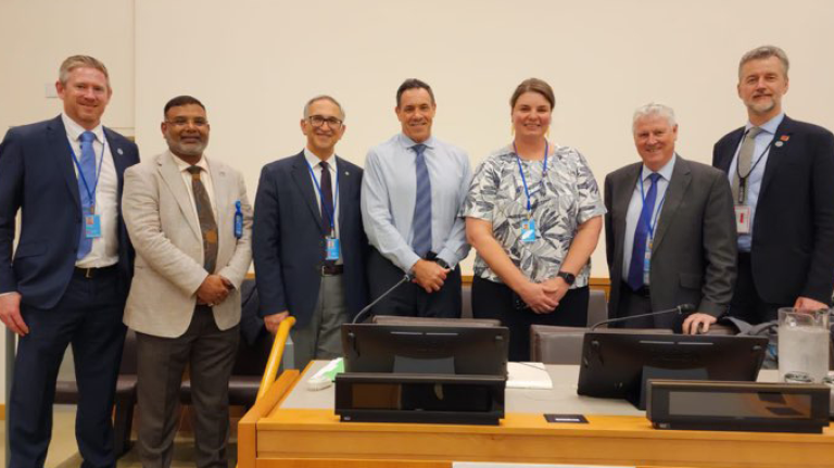
Australia's national geospatial capability relies on the efforts of government, industry and academic partners across Australia and internationally.