Digital Earth Australia Satellite imagery to inform Australia
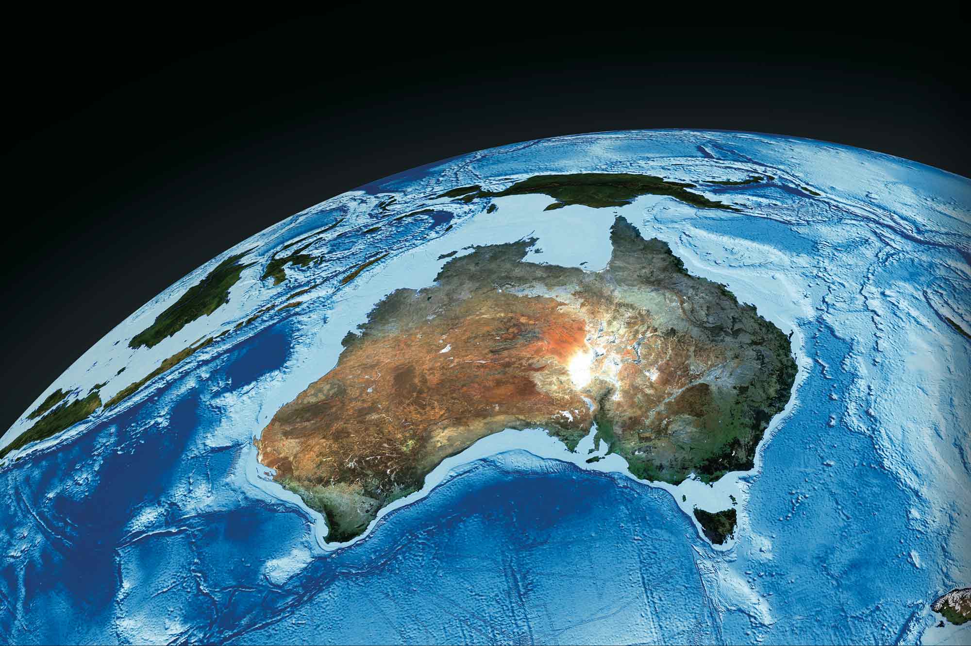
See the big picture. Make better decisions.
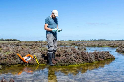
Environment
We provide trusted imagery and data about Australian landscapes to researchers and land managers, helping them navigate environmental complexity.
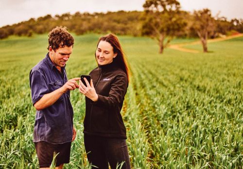
Agriculture
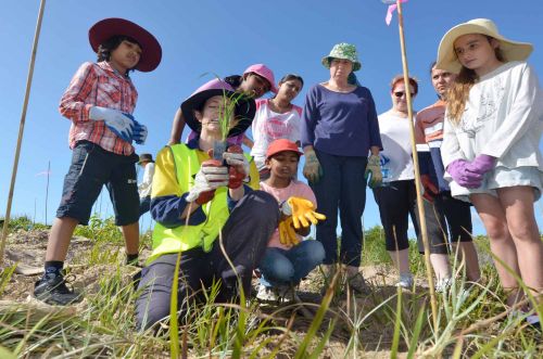
We’re working with the rural sector to make satellite imagery more accessible and relevant for the benefit of crops, cattle, and country.
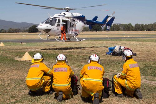
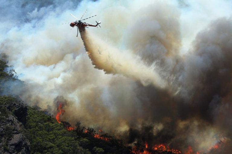
Emergency management
In the face of fire, flood and natural hazards, our satellite partnerships put eyes in the sky, helping Australians monitor, predict, prepare, and respond.
Government
Our data and mapping tools support evidence-based planning and decision-making at local, state and federal government levels.

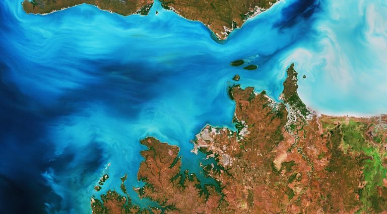
Digital Earth Australia is a platform that uses spatial data and images recorded by satellites orbiting our planet to detect physical changes across Australia in unprecedented detail.


Explore imagery on a map
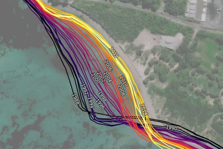
See more than 30 years of landscape change
For decades satellites have been capturing imagery of Australian landscapes. Digital Earth Australia (DEA) corrects, curates, and makes this image data freely available on the interactive DEA Maps.
- Go to DEA Maps
- Go to 'Explore map data'
- Select your data product
- Add to the map
Put it into your project
Get your hands on the data
Digital Earth Australia’s analysis-ready imagery and datasets are made freely available to download and to access via web services.
Dig deeper
We encourage developers to uncover the potential of our data
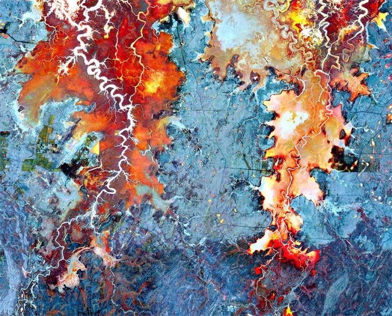
Finding water to fight fire
Satellite data maps of Australian waterbodies are fuelling a more confident flightpath for Victoria’s Country Fire Authority.

It was at a remote sensing workshop that I heard a seminar by Dr Claire Krause from Geoscience Australia. She gave a presentation on the all the DEA data products, and I was just amazed.
Remote Sensing Analyst, Research and Development, Country Fire Authority