About TEGI
Page last updated:5 September 2023
The Department of Industry, Science and Resources (DISR) engaged Geoscience Australia, in collaboration with CSIRO, to deliver better data and information for the north Bowen, Galilee, Cooper and Adavale basin regions.
The data, information and tools delivered by this program improve the understanding of past and present conditions across each of the basins being investigated. These basin regions have potential to support Australia’s energy and emissions reduction needs (for example, through carbon capture or hydrogen production and storage) while also having potential to host groundwater and mineral resources.
The program provides regional geological and environmental assessments underpinned by transparent and trusted baseline data and information for each of the resource-rich basins being investigated.
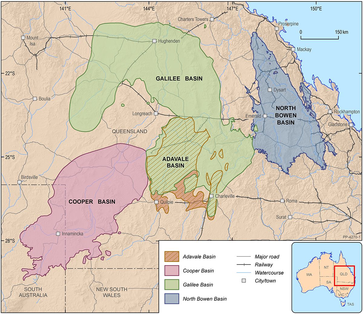
Basin regions in focus for TEGI
Stakeholder engagement
The TEGI program has worked closely with stakeholders to ensure that the science, data and information prepared are robust and meet the needs of those who live, work and rely on the regions being studied. The program has implemented Basin Reference Groups as the forum to provide two-way engagement with its stakeholders. The Basin Reference Groups have broad membership that includes representatives from Commonwealth, state and local government, industry representatives (energy, minerals and relevant regional industry), First Nations groups, peak bodies, local water users and natural resource management bodies. They provide stakeholders with a forum to ensure the TEGI delivers fit for purpose data, tools and information.
Basin Reference Groups are embedded in the TEGI governance structure and were set up using an approach similar to that implemented through the Geological and Bioregional Assessment Program.
TEGI timeline and focus
The TEGI program investigated and collected baseline data on potential resources, geology, groundwater, surface water and the environment, as well as capturing the regulatory frameworks in place for the north Bowen, Galilee, Cooper and the Adavale basin regions.
Through this program, Geoscience Australia in collaboration with CSIRO provides:
- An improved understanding of geological (petroleum, mineral, hydrogen and carbon capture and storage), surface water, groundwater and ecological systems.
- An improved understanding of the potential environmental hazards, risks and potential impacts of a resource project development.
- Access to integrated baseline scientific data and information through digital platforms.
- Baseline data, information and tools to support and optimise regulatory pathways for efficient development decisions, consistent with the development and environmental requirements and expectations in the basin locations.
Data and products
For each basin region, data packages and supporting information products are available across the themes of energy, minerals, carbon capture and storage, water resources and the environment.
The data package for each theme comes with an associated data guide. These data guides provide an overview of the data and information available and illustrate examples of how the collected data and information can be used.