Projects Adavale basin region
Page last updated:5 September 2023
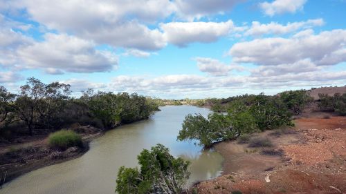
The Adavale Basin region is in southern central Queensland covering an area of approximately 142,000 km2. The Adavale Basin is under-explored yet is known to contain resources that can contribute to Australia’s emissions reductions and modern energy needs. The Adavale Basin contains sedimentary rocks spanning the Devonian Period and is overlain in parts by the geologically younger Galilee, Eromanga and Lake Eyre basins. A detailed examination of the Adavale Basin examining legacy data and acquiring new seismic, geochemical and new stratigraphic data is currently being undertaken as part of the Data Driven Discoveries program.
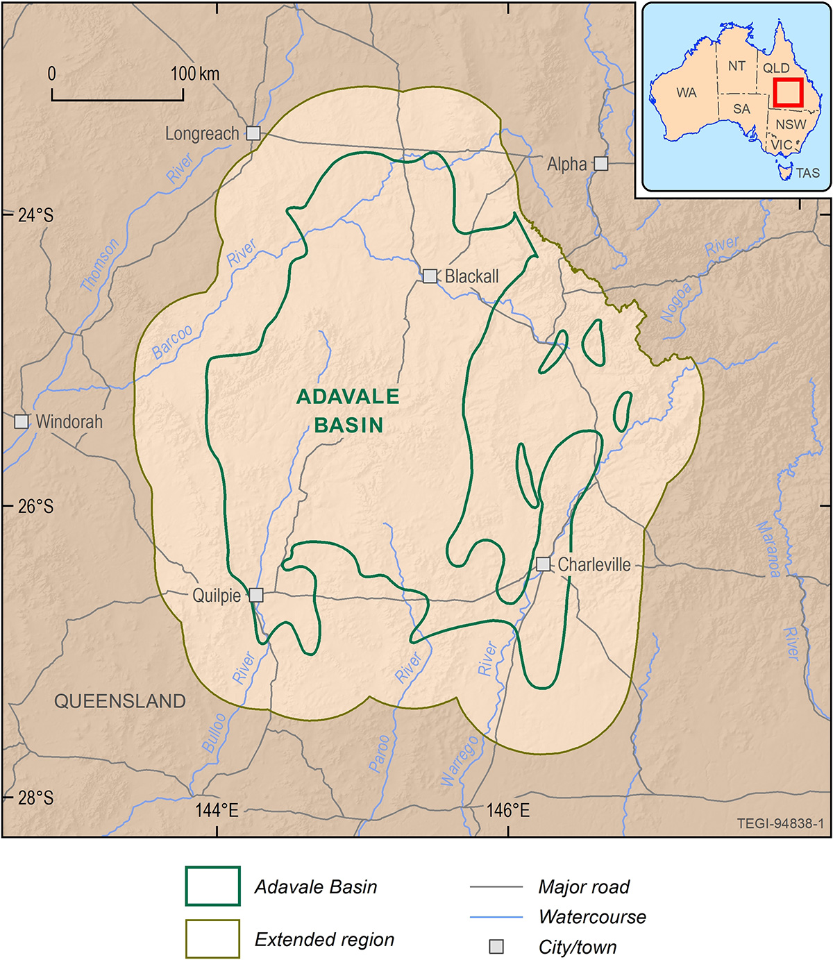
Location of the Adavale basin region, including the extended region extent
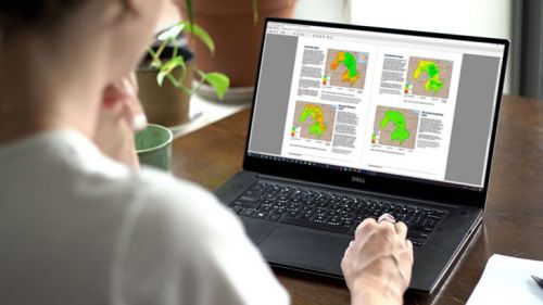
The TEGI data and information repository contains a compilation of current geological, energy, carbon capture and storage, groundwater, minerals and environmental information for the Adavale Basin. GIS data is available to download for analysis where available. A short guide is provided with each GIS dataset to explain the nature and application of the data. Reports outline the methodology used for environmental assessments in the TEGI Program.
Data packages available for download
- Geology: Adavale basin region
- Geology: Adavale basin region key intervals
- Groundwater: Adavale basin region, Adavale basin
- Groundwater: Adavale basin region, Galilee basin
- Groundwater: Adavale basin region, Eromanga basin
- Groundwater: Adavale basin region, Lake Eyre basin
- Groundwater: Adavale basin conceptual model
- Conventional hydrocarbons: Adavale basin
- Unconventional hydrocarbons: Adavale basin
- Geological storage of carbon dioxide: Adavale basin
- Hydrogen: Adavale basin region
- Discovered resources: Adavale basin region
- Other resources: Adavale basin region
- Surface water: Adavale basin region
- Ecology: Adavale basin region
Related information
North Bowen basin region
The north Bowen basin region investigated in the TEGI program is a subset of the Bowen Basin located in central-eastern Queensland.
Galilee basin region
The Galilee basin region is located in southern and central Queensland covering approximately 249,000 km²
Cooper basin region
The Cooper basin region is located mostly in south-western Queensland and extends into north-eastern South Australia and partially into New South Wales.
All data and products
A collection of GIS data and documents on the geology of each basin, supported by a data guide.

News and resources
Latest news and resources from the Trusted Environmental and Geological Information program