Antarctic geoscience We're deepening our Antarctic understanding
Geoscience Australia maps, monitors and interprets Antarctica's marine and ice-free environments, providing the data and insights that support stewardship, science and Australia's long-term Antarctic interests.
Page last updated:27 August 2026
Insights for protection and sustainable use
Supporting stewardship and economic opportunities in the Southern Ocean
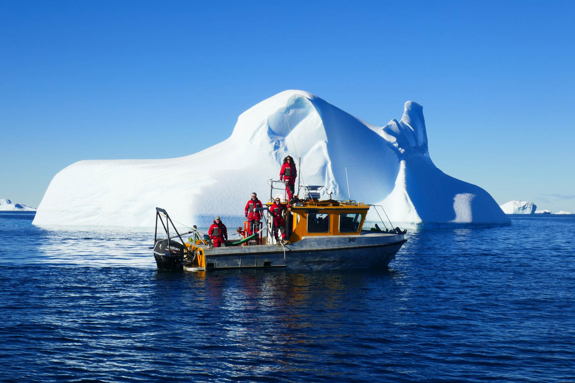
Covering more than 2.2 million square kilometres, the maritime jurisdiction adjacent to the Australian Antarctic Territory supports fisheries, maritime operations, environmental management, tourism and scientific research.
Geoscience Australia provides scientific and geospatial information and advice to the Australian Government, working alongside the Australian Antarctic Division and other partners within the Australian Antarctic Program to better understand and protect Antarctica while supporting Australia's sovereignty and long-term interests in the Australian Antarctic Territory.
Access our Antarctic data
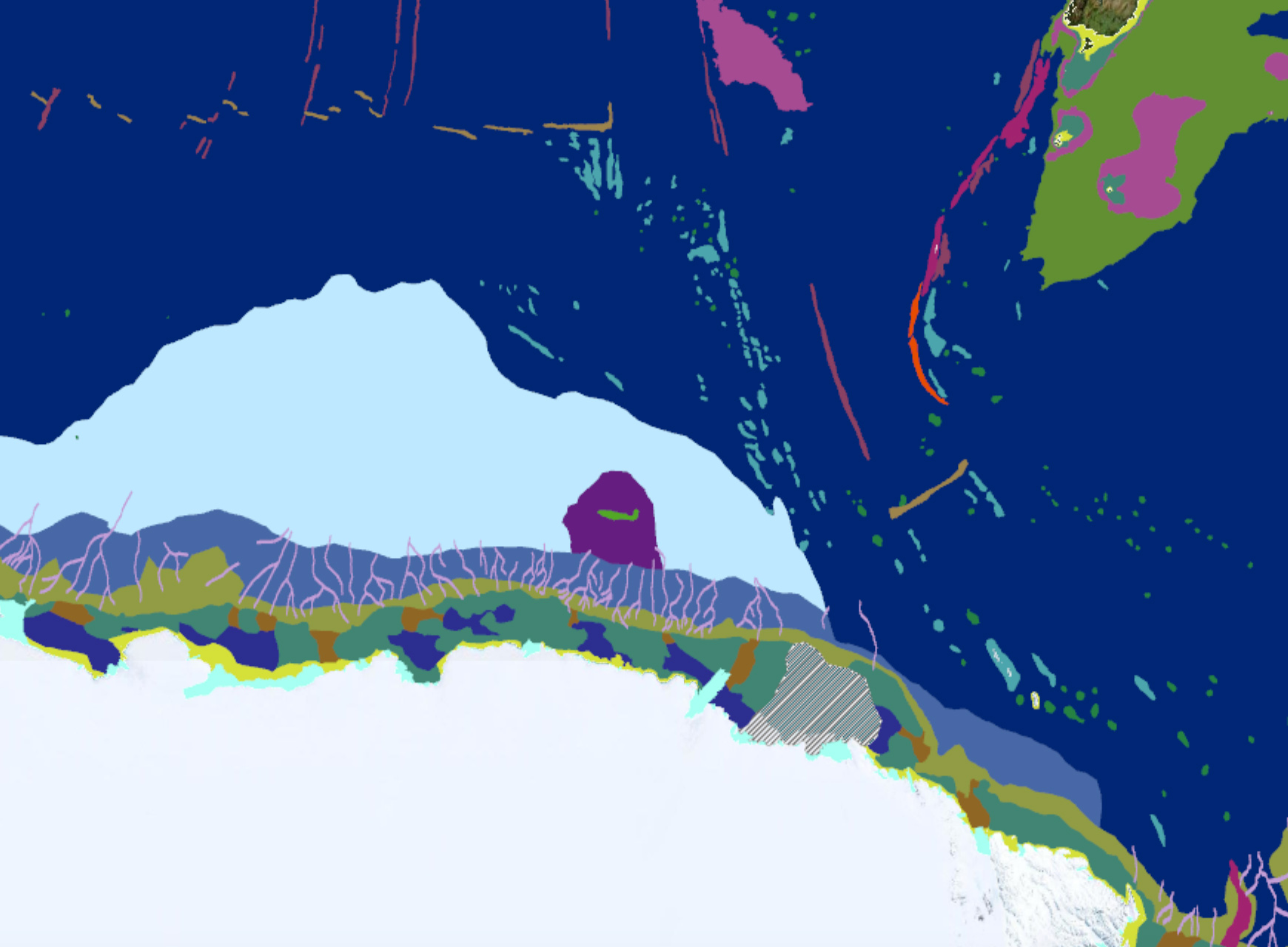
We make Antarctic geoscience information available through two national platforms:
Antarctic Geoscience Portal
Explore onshore and offshore geoscience datasets, analytical tools and physical sample records from Antarctica and the Southern Ocean.
AusSeabed Marine Data Portal
Access Antarctic bathymetry and marine survey data alongside Australia's broader collection of seabed mapping information.
Mapping habitats beneath Antarctic waters
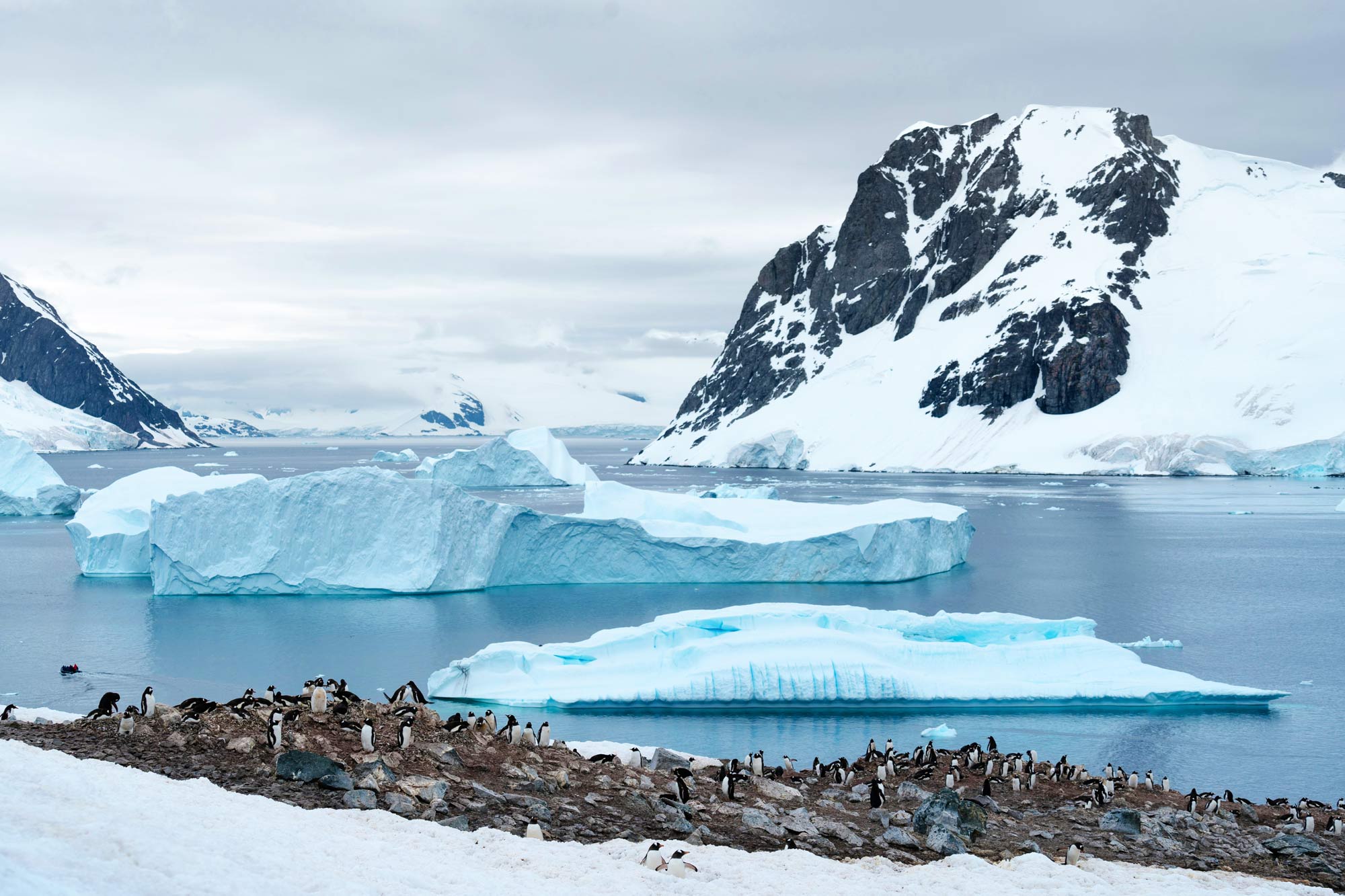
The shape and character of the seabed influence where Antarctic marine ecosystems develop and thrive, where ocean currents travel and where records of past climates are stored.
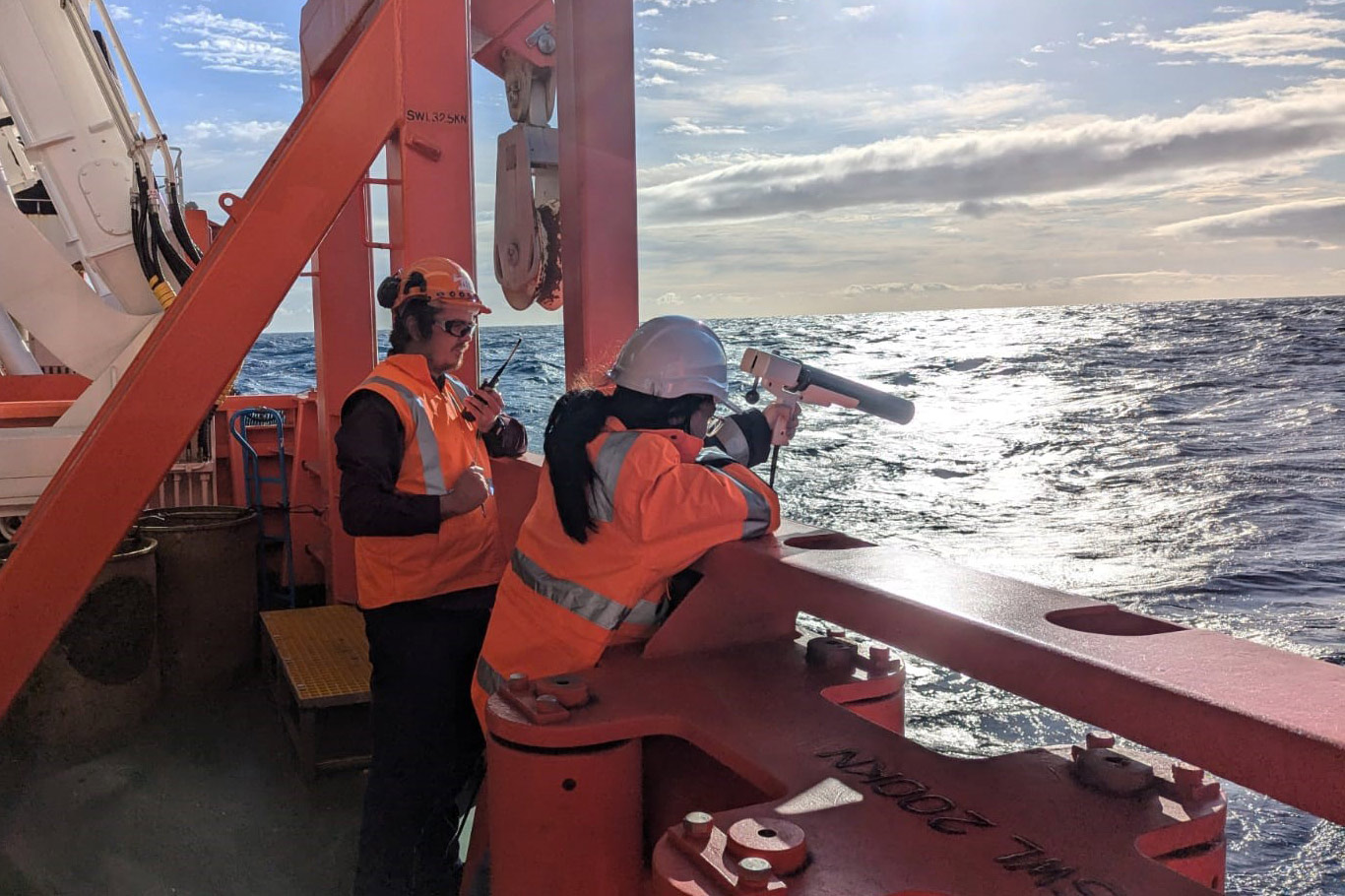
Geoscience Australia maps and analyses seabed environments to support navigation and operations, to assess habitat diversity and distribution, and to reconstruct past ice-sheet behaviour and environmental change.
We collaborate with programs that include:
Securing Antarctica's Environmental Future
Australian Antarctic Program Partnership
Australian Centre for Excellence in Antarctic Science
This work informs decisions by the Commission for the Conservation of Antarctic Marine Living Resources
Reading Antarctica’s geological history
Interpreting landscapes that tell Earth's story
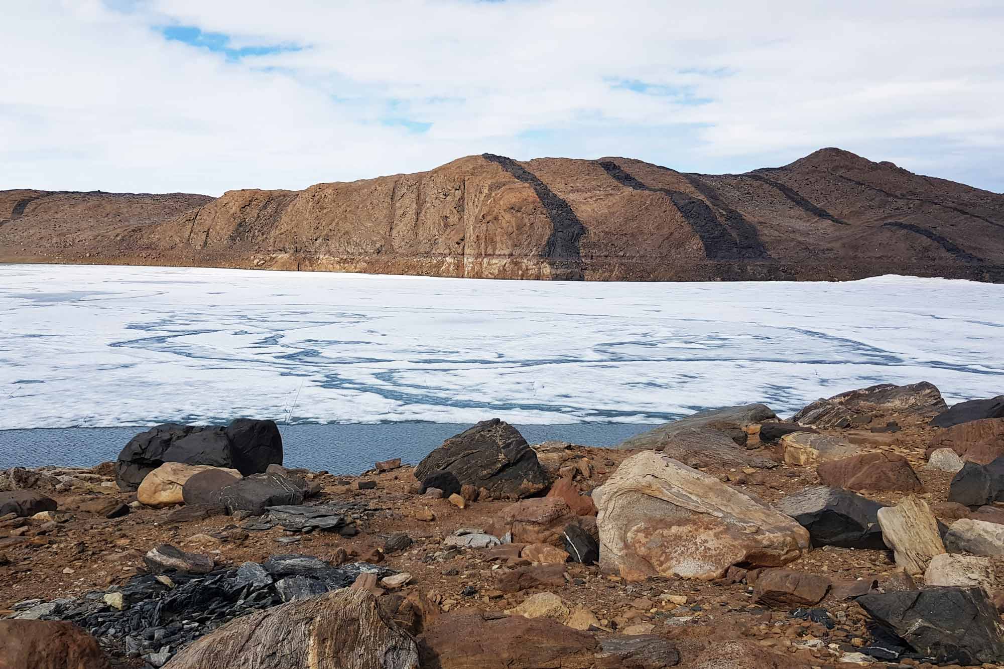
Antarctica's ice-free regions preserve evidence of millions of years of geological processes, environmental change and unique geological heritage.
Working with research partners, Geoscience Australia maps and studies these fragile landscapes to support environmental protection and guide management of high-use areas near Australia's Antarctic stations. We also produce geological maps that reveal landscape evolution and environmental change across Antarctica.
We're the keepers of cold samples
Geoscience Australia also houses a large collection of geological and geophysical data and geological samples, maintaining a repository of rocks, fossils and sediment samples collected by Australian Antarctic expeditions dating back to the 1950s.
Rocks and sediments preserve records of past environmental and climate change, helping scientists reconstruct Antarctica's history and improve projections of future change.

How do we process complex seabed data?
With a little help from our friends
Every bathymetry survey conducted in Antarctic waters captures millions of individual seabed depth measurements. Before this information can support navigation, science and environmental management, it must be carefully processed, validated and interpreted.
Through the national AusSeabed collaborative initiative, Geoscience Australia works with the Australian Antarctic Division and partners to transform complex Antarctic survey data into trusted information. Our collaboration with Australian Spatial Analytics demonstrates the expertise required to turn raw observations into usable knowledge.
Related activities
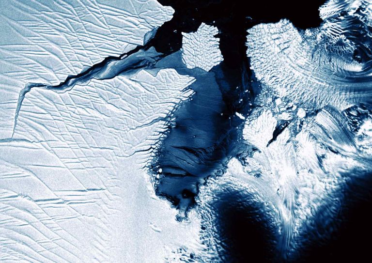
Digital Earth Antarctica is dedicated to enhancing the digital presence of Antarctic Earth Observation (EO) satellite data. Our mission is to provide open access to pre-processed EO data, enabling comprehensive analysis and monitoring of the Antarctic region.

As Australia shivers in the winter, it’s a good time to look back over a successful summer of Earth science in the Antarctic.
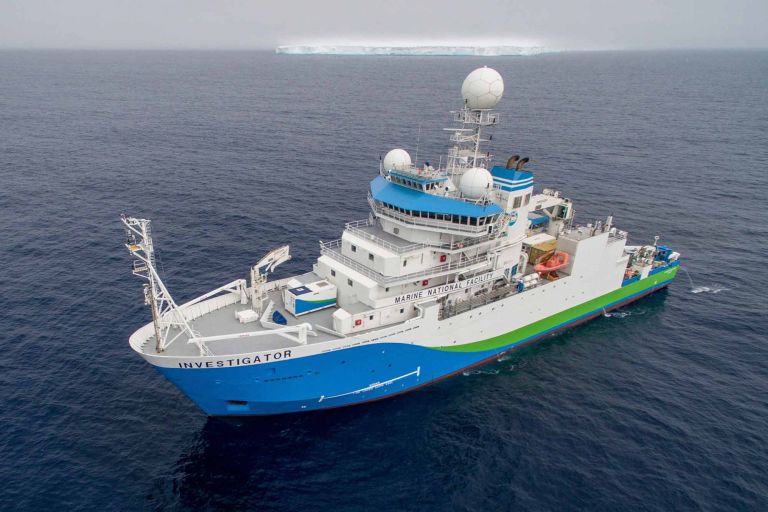
Scientists have unveiled the latest additions to Geoscience Australia’s Antarctic collection following an expedition to the icy waters of East Antarctica earlier this year.