Showcasing our work How do we process complex seabed data? With a little help from our friends
Page last updated:27 August 2026
Geoscience Australia has employed the support of Australian Spatial Analytics to transform complex Antarctic bathymetry data into trusted seabed information for mapping, navigation and scientific research — building geospatial careers in the process.

A trained Geographic Information Systems (GIS) data analyst with a passion for surveying, Benjamin Jarrett was diagnosed as autistic when very young. He and colleagues at Australian Spatial Analytics have supported Geoscience Australia’s efforts to process complex seabed data. Courtesy of ASA.
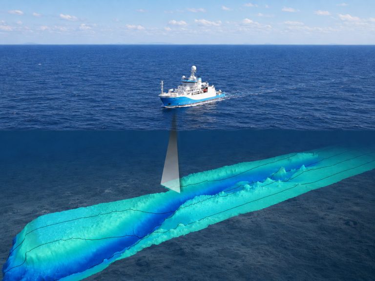
Bathymetry data is deeply complex. Millions of individual seabed measurements are captured by acoustic and other equipment on vessels in motion on open seas, and factors such as wind, speed, ocean temperature, bubbles, and sediment can all introduce unwanted signals into the data.
Before it can be used to support scientific research, navigation, fisheries management, or environmental stewardship, the raw observations must be carefully processed, checked and interpreted.
Our data analysts spend months painstakingly assessing, cleaning and validating thousands of acoustic signal returns — separating meaningful detail from noise to accurately represent the shape of the ocean floor. In many cases, data is processed to stringent Australian Hydrographic Office standards, ensuring it is suitable for use in navigation and inclusion in nautical charts.
The work demands focus and precision.
“Processing bathymetric data requires patience, persistence, and the confidence to question what you’re seeing,” says Dr Alexandra Jurkiw, Marine Geoscientist at Geoscience Australia.
“Human judgement is still very much essential. Pattern recognition is paramount.”
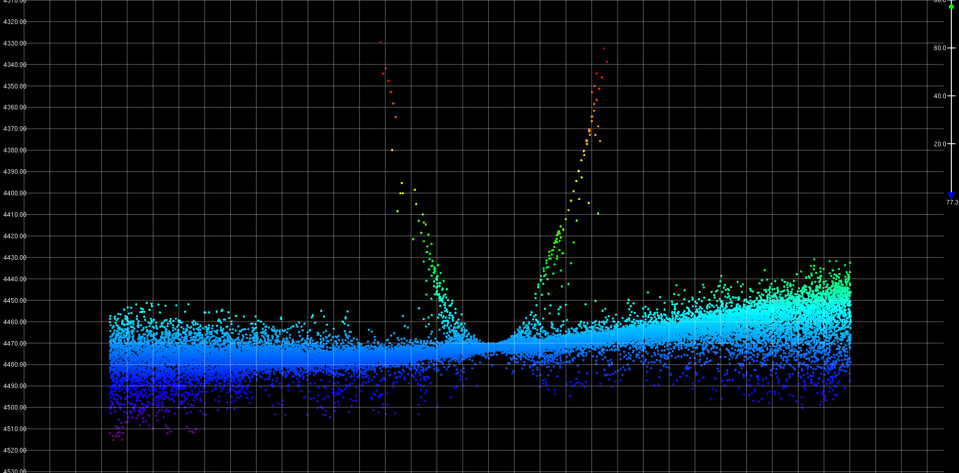
Trained analysts remove anomalies from collected seabed data, like this one seen above. Known as ‘Erik’s horns’, the u-shaped spikes of data are a common acoustic artifact found in multibeam echo sounder returns. If not properly identified, they may be misinterpreted as a geological seabed feature.
Enter support from Australian Spatial Analytics
Australian Spatial Analytics (ASA) is one of Australia’s largest work-integrated social enterprises, creating geospatial and engineering skills and careers for neurodivergent Australians and fostering a new generation of data professionals.
In 2024, Geoscience Australia engaged ASA data analysts to process bathymetry data collected aboard the Australian Antarctic Division’s research and supply icebreaker, RSV Nuyina. The data was captured over several years as the RSV Nuyina traversed the Southern Ocean and Antarctica as part of broader efforts to better understand some of the planet’s least accessible and most rapidly changing environments.
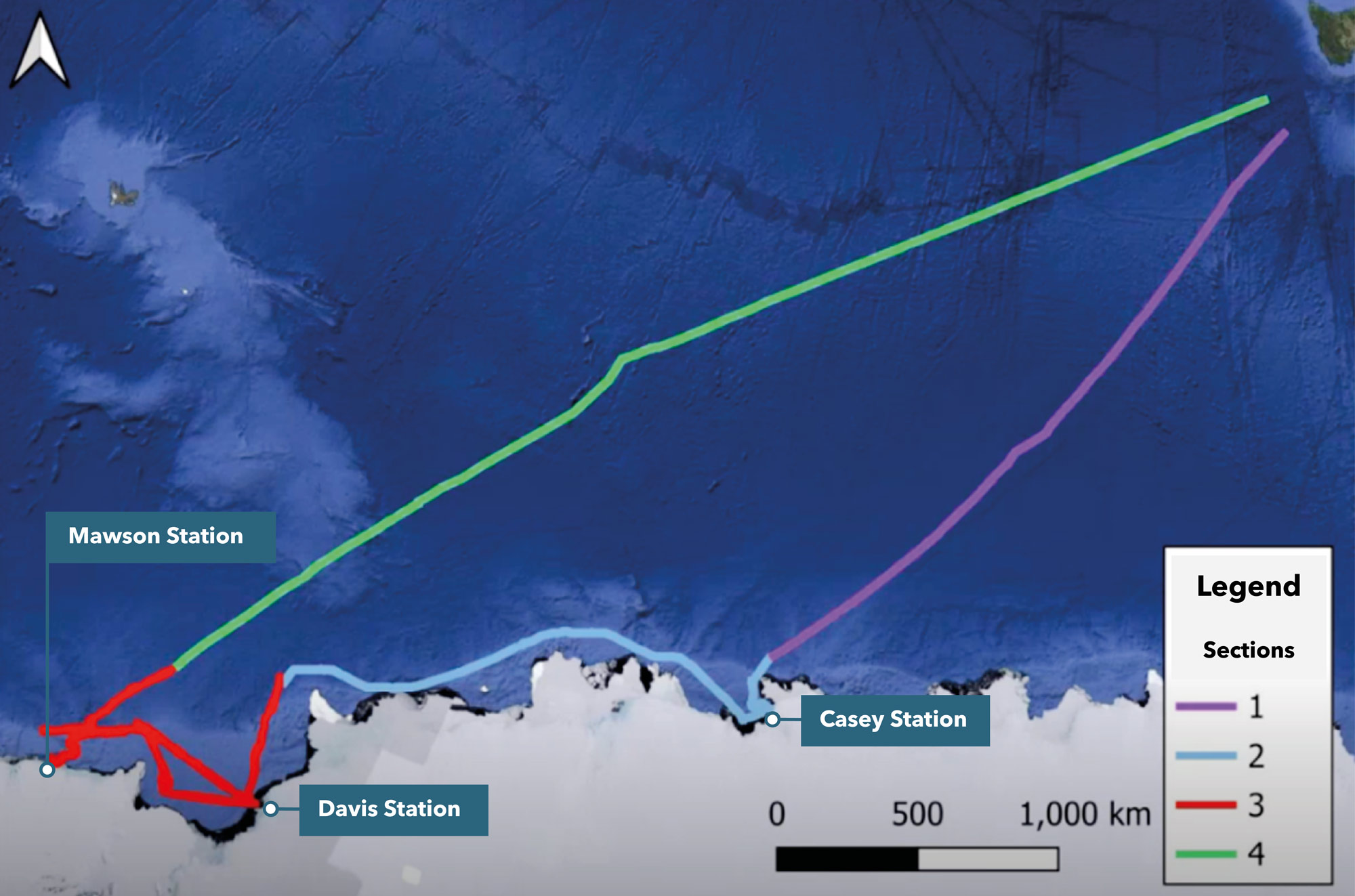
Data collected by the Australian Antarctic Division research and supply icebreaker, RSV Nuyina was broken into four sections for processing by Geoscience Australia and ASA analysts. Together, the lines seen above cover an approximate 300,000 km of ocean and add valuable new understanding of the seabed, especially near the approach to Australia’s longest-running Antarctic research base, Mawson Station.
Working alongside the Australian Antarctic Division and the Australian Hydrographic Office, Geoscience Australia contributes to long-term efforts to map and characterise priority areas of the Southern Ocean adjacent to the Australian Antarctic Territory.
The resulting data can support applications ranging from maritime safety and operations planning to environmental management and scientific research and is made available through the AusSeabed Marine Data Portal.
Over four months, ASA data analysts processed around 600 hours of bathymetry data captured by the RSV Nuyina, covering approximately 300,000 square kilometres of ocean — removing unwanted signals and measurement errors and preparing the data for future translation into hydrographic charts.
“The future of our oceans depends on bringing together different kinds of expertise to unlock deeper knowledge,” says Head of Geoscience Australia’s Oceans, Reefs, Coasts and Antarctic (ORCA) branch, Dr Jodie Smith.
“Connecting specialist skills, technology and science is crucial to turning complex data into actionable insights.”
About ASA
ASA is one of Australia’s largest work-integrated social enterprises, creating geospatial and engineering careers for neurodivergent Australians. According to ASA, around 375,000 Australians identify as autistic, yet unemployment rates remain disproportionately high.
Related resources
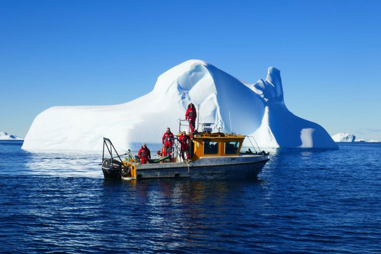
Geoscience Australia maps, monitors and interprets Antarctica's marine and ice-free environments, providing the data and insights that support stewardship, science and Australia's long-term Antarctic interests.
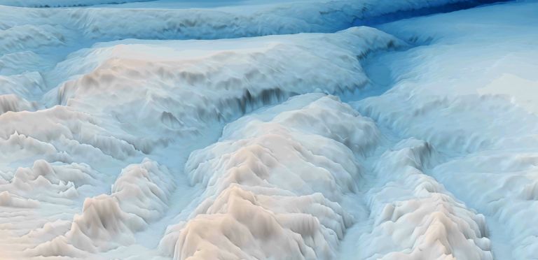
Discover how bathymetry data is collected and why it provides the foundation for navigation, marine planning, hazard assessment and ocean science.
Learn how information is collected across Australia's marine estate through coordinated surveys undertaken by government, research and industry organisations.