Knowledge article Geography of the Australian Antarctic Territory
Page last updated:4 November 2026
The Australian Antarctic Territory encompasses a vast, ice-covered landscape with some of the coldest, driest and windiest conditions on Earth. Australia has maintained a continuous scientific presence in Antarctica since 1954, supporting research into this remote and distinctive environment.
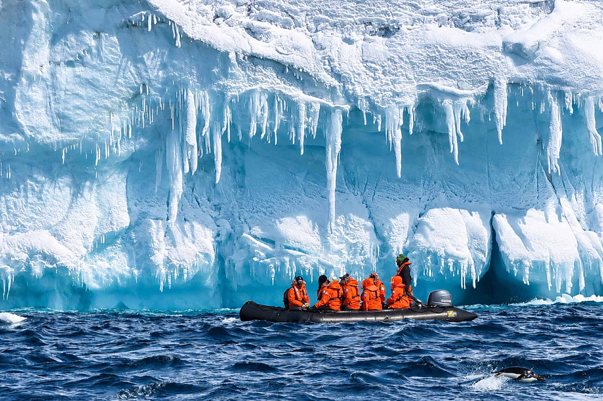
About the Australian Antarctic Territory
The Australian Antarctic Territory (AAT) extends from 60°S latitude to the South Pole, between 160°E and 45°E, excluding the French sector of Terre Adélie between 136°E and 142°E. It comprises the Australian-claimed islands and territories south of 60°S.
It is administered by the Department of Climate Change, Energy, the Environment and Water through the Australian Antarctic Division.
Antarctica: a vast, ice-covered continent
Antarctica is the fifth-largest continent in the world and the driest, coldest and windiest of all the continents.
The Australian Antarctic Territory covers nearly 5.9 million square kilometres, or approximately 42 per cent of the Antarctic continent. This is larger than the combined area of Queensland, New South Wales, Victoria and South Australia.
The AAT also includes a maritime jurisdiction extending over 2.2 million square kilometres.
Antarctica's ice-covered landscape changes substantially with the seasons.
In summer, the continent and its surrounding ice shelves cover about 14 million square kilometres. In winter, sea ice expands around the continent, increasing the area covered by ice to more than 30 million square kilometres — almost four times the size of mainland Australia.
Ice and mountains
Most of Antarctica, including its mountains, is covered by a thick layer of ice. In places, the ice cap reaches 4,700 metres thick, filling deep trenches that would otherwise lie below sea level.
Mount Vinson, Antarctica's highest mountain, rises to 4,892 metres.
The highest recognised mountains in the Australian Antarctic Territory are:
| Mountain | Height |
|---|---|
| Mt McClintock — eastern sector | 3,490 m |
| Mt Menzies — western sector | 3,355 m |
Both are considerably higher than Australia's highest mainland mountain, Mount Kosciuszko, at 2,228 metres.
Elevations of more than 4,000 metres occur in the western sector, in the vicinity of 77°E, 80°S. These elevations are generally not considered mountains, although the definition is debated.
Antarctica's extreme climate
Antarctica's extreme cold is maintained by two major wind currents. These circular currents influence ocean currents and help isolate the Antarctic region from warmer waters to the north.
Winds can reach speeds of up to 320 kilometres per hour, particularly in coastal regions. These are known as ‘katabatic winds’ and are caused by dense, supercooled air moving down the ice slopes.
Australia's connection with Antarctica
Australia has a long history of exploration and scientific research in Antarctica.
The Australasian Antarctic Expedition, led by geologist Sir Douglas Mawson, explored the Antarctic continent near the magnetic South Pole between 1911 and 1914.
A second expedition, the British, Australian and New Zealand Antarctic Research Expedition, was also led by Mawson. It aimed to formally claim possession of King George V Land and included two visits between 1929 and 1931.
Australian Antarctic expeditions have continued since 1947 under the Australian National Antarctic Research Expeditions (ANARE) banner. These expeditions have also included visits to nearby Heard and McDonald Islands and Macquarie Island.
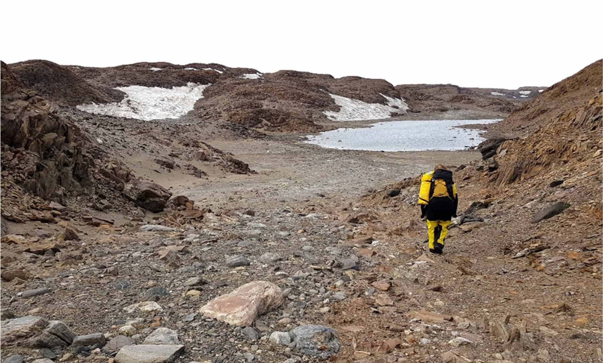
Geoscience Australia’s terrestrial work in the AAT helps manage human impacts on fragile ice-free environments. Credit: S. McLennan
Australia's Antarctic research stations
Australia has maintained a continuous scientific presence in Antarctica since 1954, when the Australian National Antarctic Research Expedition established Mawson station on the coast of Mac. Robertson Land.
Australia now maintains three Antarctic research stations:
These stations support Australia's ongoing scientific research and presence in Antarctica.
About Geoscience Australia
Geoscience Australia delivers the trusted national geospatial and Earth science information that helps Australia understand, manage and plan for its land, resources, environment, infrastructure and resilience.
Discover more about Australia’s geography and people in the Digital Atlas of Australia, or return to the Australian Geography Knowledge Hub.
Discover more
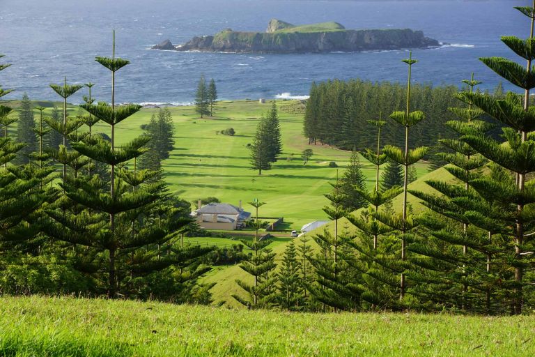
Australia’s territories span the Pacific, Indian and Southern oceans and the Coral Sea. From tropical coral reefs and islands to remote subantarctic landscapes, they encompass a diverse range of environments and geographic features.
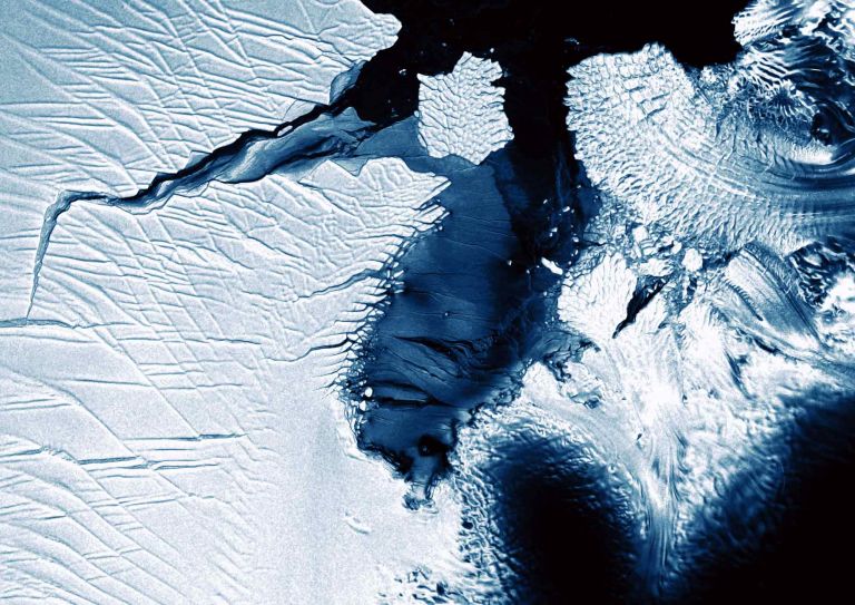
Digital Earth Antarctica is dedicated to enhancing the digital presence of Antarctic Earth Observation (EO) satellite data. Our mission is to provide open access to pre-processed EO data, enabling comprehensive analysis and monitoring of the Antarctic region.
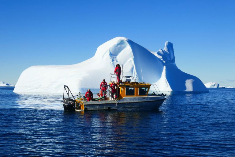
Geoscience Australia maps, monitors and interprets Antarctica's marine and ice-free environments, providing the data and insights that support stewardship, science and Australia's long-term Antarctic interests.