Knowledge Hub Learn about Australian geography

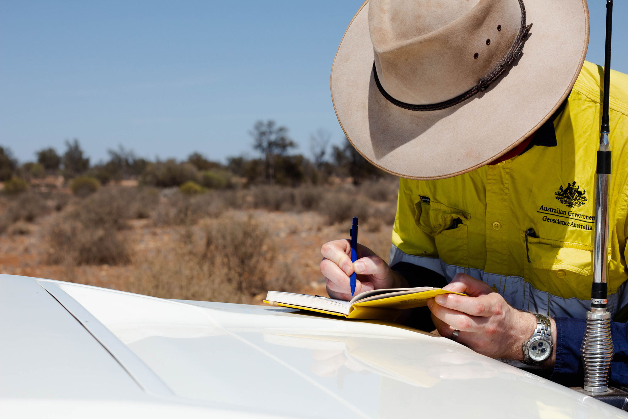
Discover our ancient and diverse country
As the Australian Government’s national agency for mapping and geospatial advice, Geoscience Australia provides trusted information and insights about the land, marine and coastal geography of Australia.
Through our National Location Information work we provide geospatial data, maps and digital products to support informed decisions about the nation's future.
Join us on these pages to explore Australia’s unique landscape, discover how Earth’s processes have shaped it, and see how we’re building a clearer view of a land of contrasts.
Dimensions of Australia
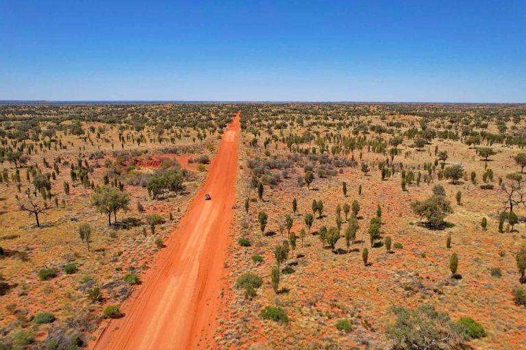
Australia's vast area includes its mainland and territories. Find the areas of Australia's states and territories as well as our largest mainland and Antarctic deserts.
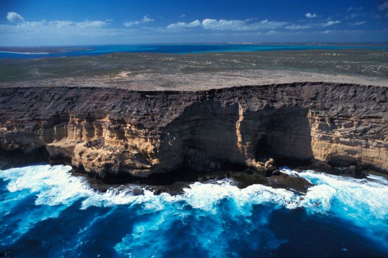
Australia's extreme geographic points mark the northernmost, southernmost, easternmost and westernmost limits of the country. Explore what makes each location distinctive.
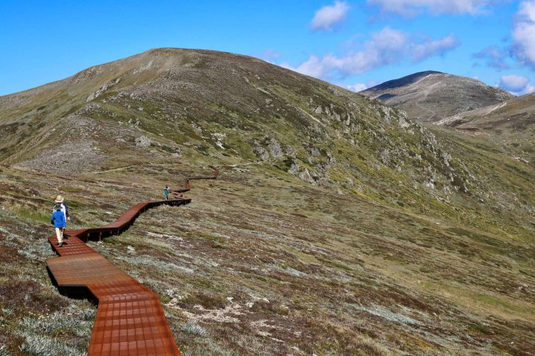
From Australia's highest mountains and longest rivers to its largest lakes and highest cities and towns, get the facts about some of the country's most significant geographic features.
Landforms and landmarks
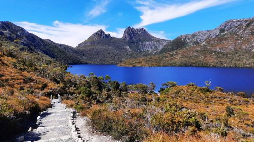
The long history of Australian landforms
Discover how tectonic movements, erosion, sea-level change, climate and volcanism have shaped Australia’s landscape over geological time.
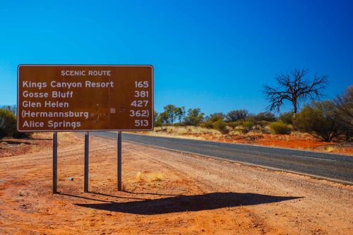
Australian place names
Learn how Australian place names are managed, coordinated nationally, brought together in the Composite Gazetteer of Australia, and made available via the Place Names app.
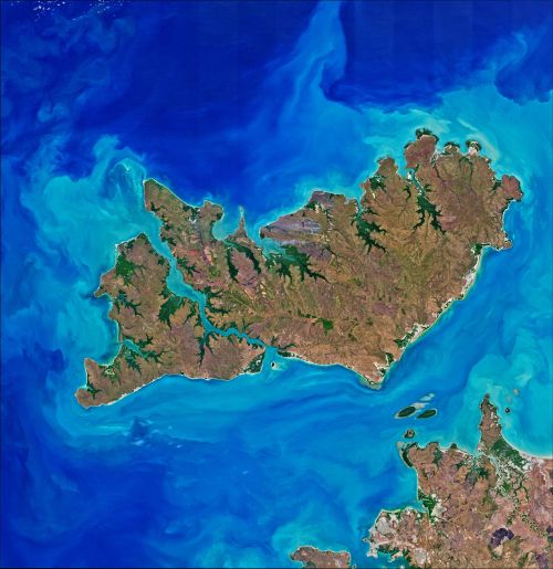
Australian islands
Australia is an island-rich continent, with thousands of islands ranging from small rocky outcrops to some of the country's largest and most remote landforms.
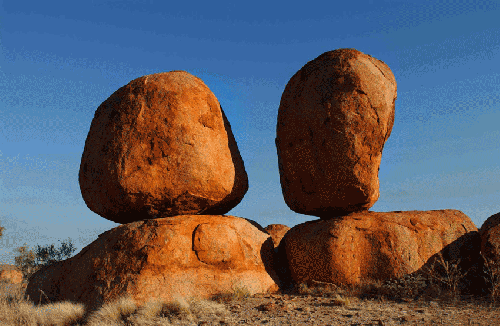
Australia's significant rock features
Australia has some of the oldest geological features in the world and its distinctive formations reveal processes that have shaped the continent over millions of years.
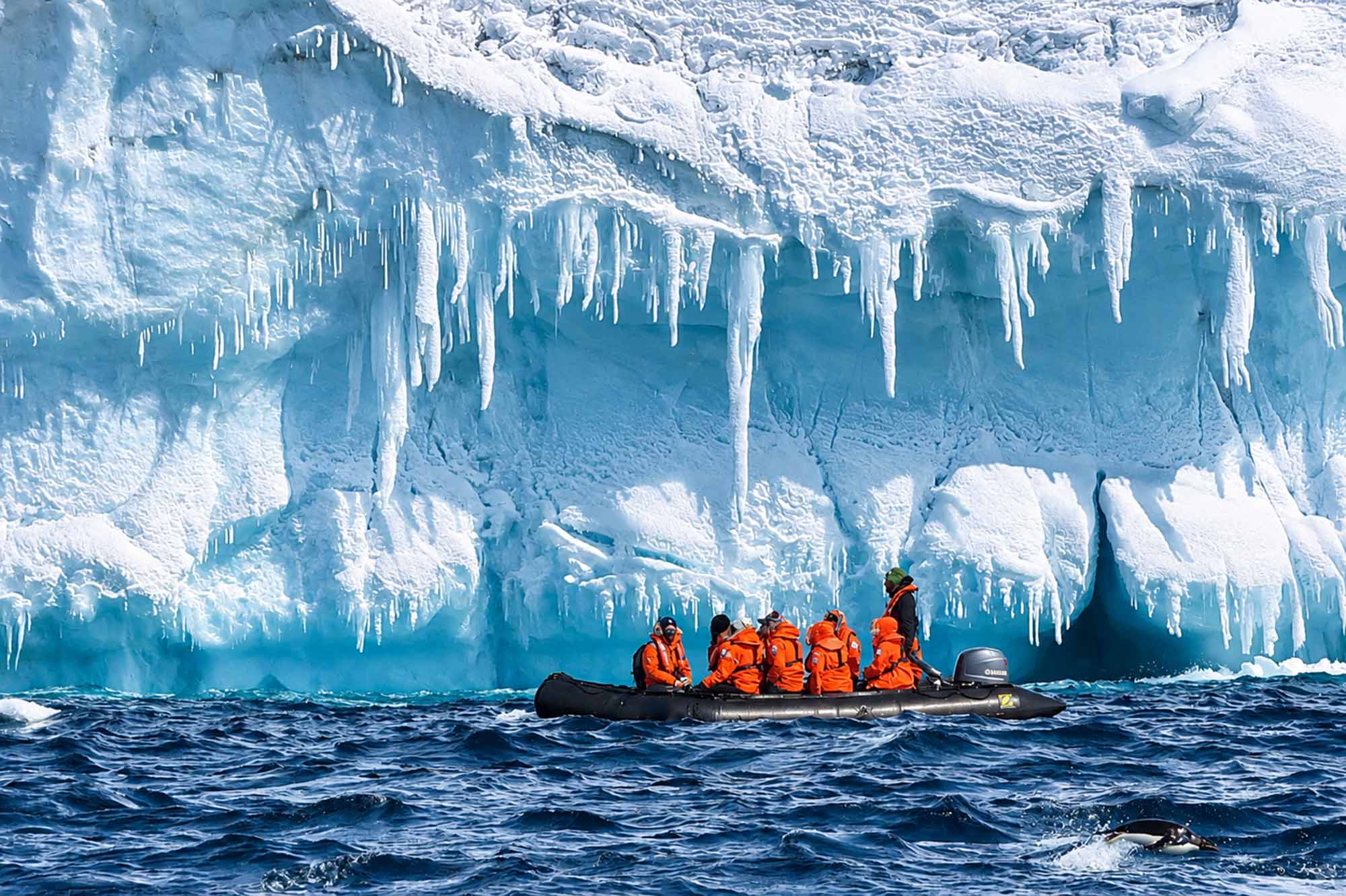
Australia’s external territories
From tropical islands and coral reefs to remote Antarctic landscapes, Australia’s external territories span the Pacific, Indian and Southern oceans and the Coral Sea.
Our mapping, geoscience and geospatial expertise extends across the seven external territories.
Explore beyond the mainland:
Learn about Australia’s external territories
Focus on the Australian Antarctic Territory
Read about Australia's maritime jurisdiction
Geographic measurements
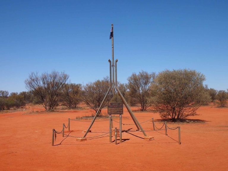
Different methods of calculation produce different geographic centre points for Australia, reflecting the shape of the continent and the way its centre is defined.
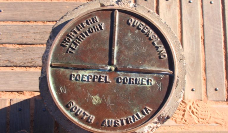
Australia's state and territory borders reflect geography, historical decisions and the challenges of surveying a vast country. Find their lengths compared and their origin stories revealed.
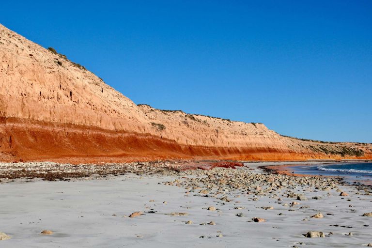
Australia's maritime zones are measured from the territorial sea baseline under the UN Convention on the Law of the Sea. Establishing baselines relies on geoscience, geospatial science, coastal mapping and law.