Knowledge article Australian place names
Page last updated:4 November 2026
Geoscience Australia works with authorities across the country to bring together and standardise place name information for use in maps and other location-based applications.
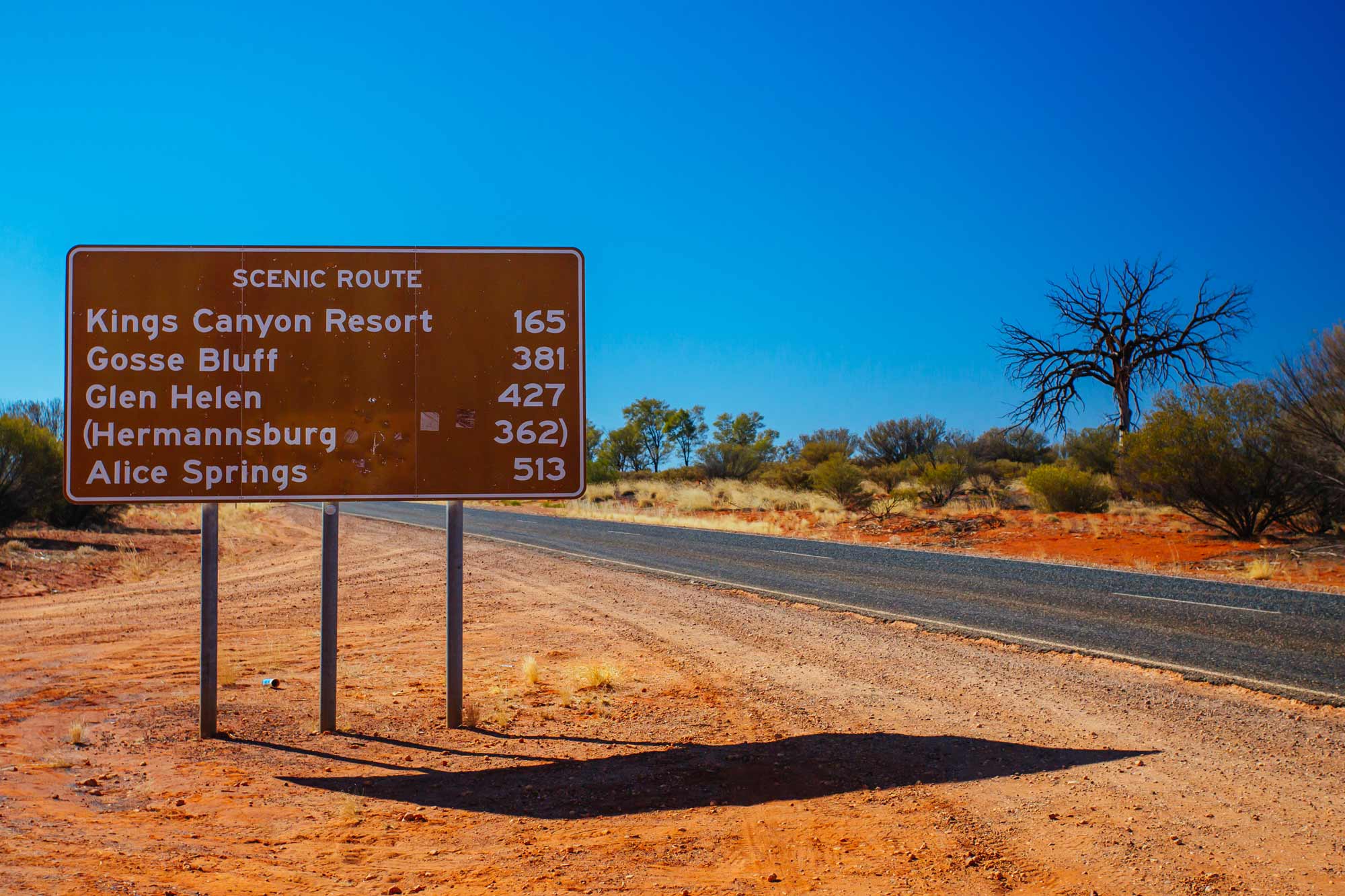
Place names are more than labels on a map. They identify natural and built geographic features, help people navigate, and connect information to a location.
They also tell stories about place — reflecting culture, language, history and scientific understanding — and preserve knowledge about how people have experienced and described the Australian landscape over time.
Keeping these names updated, accurate and consistent across Australia is a shared responsibility.
Who manages Australia’s place names?
There is no official national naming authority in Australia. Instead, place names are managed by the government authority responsible for each jurisdiction, including State and Territory governments, the Australian Antarctic Division and the Australian Hydrographic Office.
Through the Intergovernmental Committee on Surveying and Mapping (ICSM) Place Names Working Group, Geoscience Australia collaborates with these authorities to establish modern, inclusive and consistent place naming principles that reflect the evolving needs and values of Australia’s diverse communities.
These principles — including considerations for accessibility, usability and inclusivity — align with international best practice and resolutions set out by the United Nations Group of Experts on Geographical Names (UNGEGN).
A national view of Australia’s place names
Geoscience Australia plays a central role in the national coordination of place name information by maintaining a national place names dataset — the Composite Gazetteer of Australia.
The Composite Gazetteer brings place name data from the different jurisdictions together into a national repository using a common structure. This creates a consistent national view that can be searched, combined with other geographic information, and used in mapping applications.
Before information is added to the national database, it is checked against agreed data requirements. Validation checks that names are present, duplicate features are identified, locations and coordinates are logical, and features fall within the appropriate jurisdiction.
This work is an example of Australia’s national foundational geospatial data in action: information maintained by different authorities is brought together in a consistent national framework, giving it broader applicability and greater value to the nation.
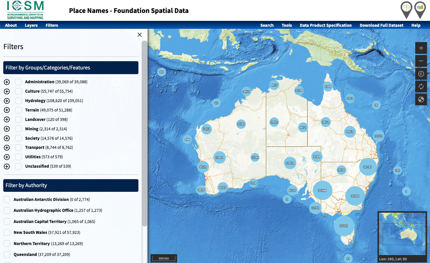
Explore Australian place names
The Composite Gazetteer is made available for easy access through the Geoscience Australia Place Names app.
Users can search and filter place names by authority, group, category and feature. The dataset includes information such as the name, feature type, latitude, longitude and source authority.
This allows a place name to be connected to other national datasets and used consistently across maps, geographic information systems and other location-based applications.
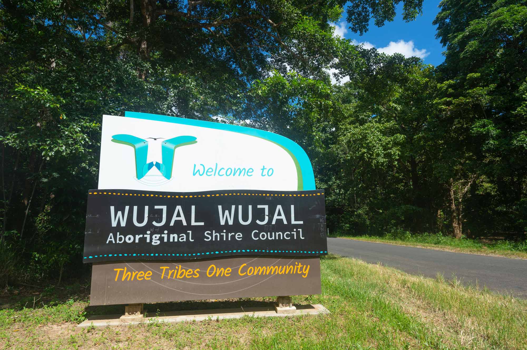
First Nations place names
Australia is a multicultural nation, and place names that promote diversity and cultural inclusivity are encouraged. The Intergovernmental Committee on Surveying and Mapping (ICSM) recognises that Aboriginal and Torres Strait Islander names play an important role in reawakening language and culture.
The reinstatement of traditional place names, and the creation of new names derived from Aboriginal and Torres Strait Islander languages, are managed by relevant state, territory and other naming authorities. These authorities apply local naming policies and practices guided by the national principles, including culturally appropriate engagement with the relevant First Nations peoples and communities.
About Geoscience Australia
Geoscience Australia delivers the trusted national geospatial and Earth science information that helps Australia understand, manage and plan for its land, resources, environment, infrastructure and resilience.
Discover Australia’s geography and people in the Digital Atlas of Australia, or return to the Australian Geography Knowledge Hub.
Discover more
The Intergovernmental Committee on Surveying and Mapping (ICSM) Place Naming Principles guide consistent, accurate and inclusive place naming practices across Australia, including Aboriginal and Torres Strait Islander names.
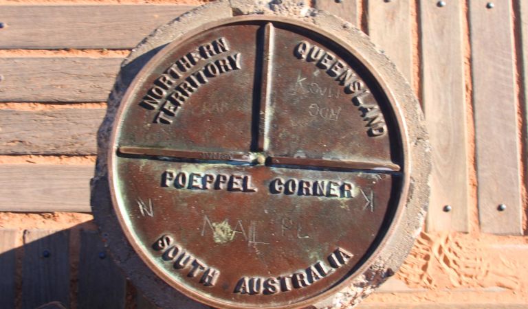
Australia's state and territory borders reflect geography, historical decisions and the challenges of surveying a vast country. Find their lengths compared and their origin stories revealed.
Discover, analyse and download curated national datasets by location, data provider or theme. The Digital Atlas brings together trusted data from across government in a user-friendly online platform.