Knowledge article Australia’s state and territory borders
Page last updated:4 November 2026
Australia's state and territory borders reflect geography, historical decisions and the challenges of surveying a vast country. Many follow lines of latitude, rivers or other physical features, while others have been shaped by surveying disputes and changing technology.
How long are Australia's state and territory borders?
Australia's states and territories have borders of varying lengths, shaped by geography, history and the challenges of surveying a vast country.
State and territory border and mainland coastline lengths
| State or territory | Land border length (km) | Mainland coastline length (km) |
|---|---|---|
| Western Australia | 1,991 | 12,895 |
| Queensland | 3,339 | 6,967 |
| Northern Territory | 3,179 | 5,438 |
| South Australia | 3,185 | 3,815 |
| Tasmania | - | 2,827 |
| Victoria | 2,604 | 1,870 |
| New South Wales | 4,744 | 1,973 |
| Australian Capital Territory | 306 | - |
| Jervis Bay Territory | 21 | 36 |
Source: Australia’s Land Borders 2020. Coastal calculations are based on GEODATA Coast 100K 2004
Australia's longest land border
New South Wales has the longest land border of the states and territories. It adjoins Queensland, South Australia, Victoria, the Australian Capital Territory and Jervis Bay Territory, making a total of 4,744 kilometres.
Australia's shortest land border
The Jervis Bay Territory land border with New South Wales is the shortest, at 21 kilometres.
Other border facts
- The Australian Capital Territory is the only land-locked state or territory in Australia.
- Tasmania is the only island state.
- The Northern Territory is the only jurisdiction whose mainland coastline is shorter than the combined coastline of its islands.
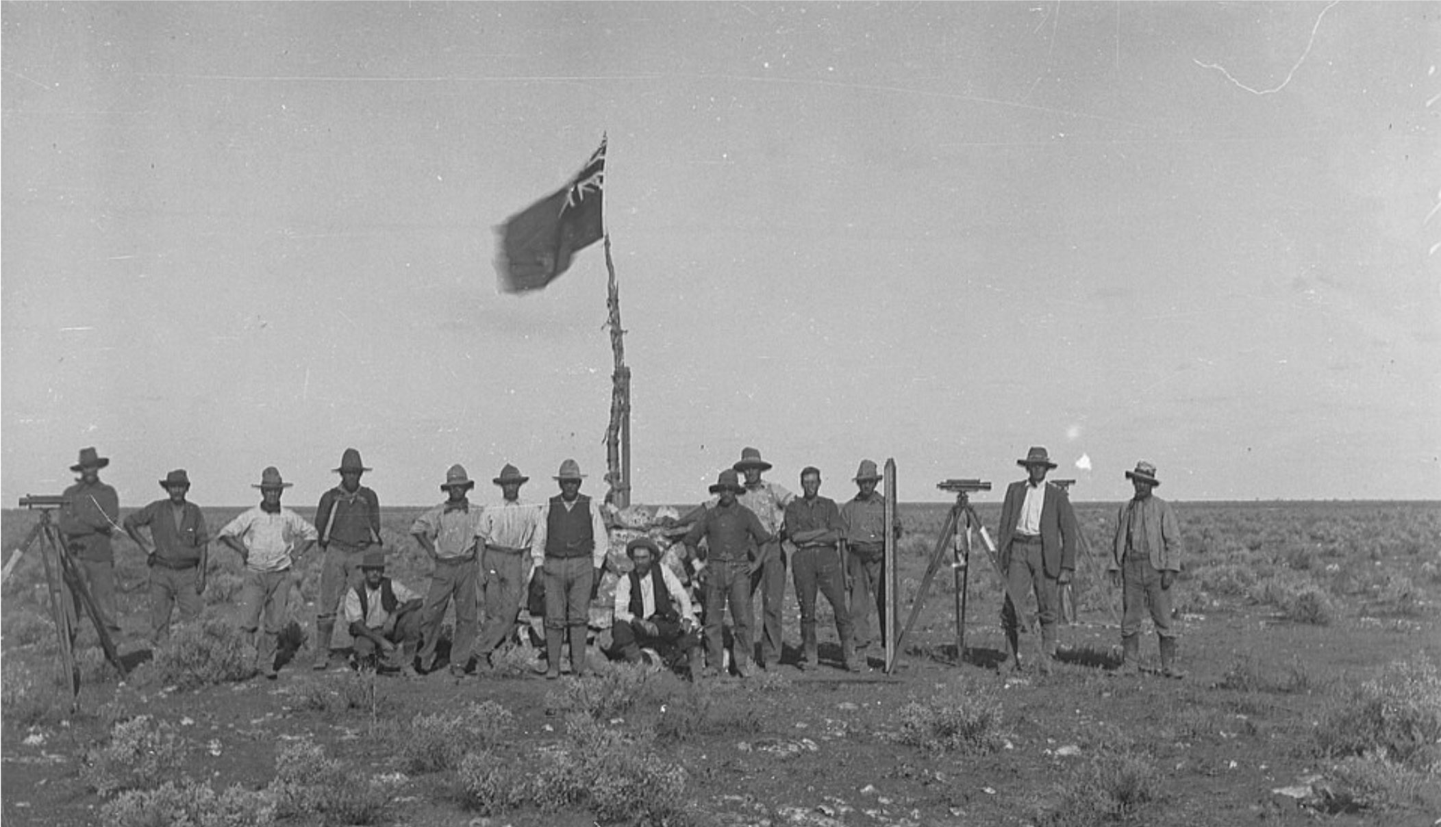
Official Survey Party Western Australian border - survey for East West Line, circa 1915, courtesy of The History Trust of South Australia, South Australian Government
How were Australia’s borders established?
Many Australian borders were defined in early colonial legal documents known as ‘letters patent’ or in other historical documents, sometimes using lines of latitude and longitude or physical features such as rivers.
Accurately defining these boundaries was not always straightforward.
Early surveyors worked with limited supplies and equipment and had to deal with difficult conditions, including floods and droughts. Errors in determining the positions of observatories in Melbourne and Sydney also affected the ability of surveyors to accurately transfer observations to known coordinate positions.
As surveying technology improved, modern surveyors were able to accurately plot locations according to the original descriptions in the letters patent. This revealed that some borders were not quite where they were originally intended to be or were less like the simple straight lines shown on maps.
Border disputes subsequently occurred between several states. Generally, rulings have upheld the position of borders using established physical references or property lines.
How did rivers shape Australia's borders?
Rivers have played an important role in defining some state borders.
The Queensland–New South Wales border, for example, was defined in letters patent dated 6 June 1859. The boundary followed the Dumaresq River and the Macintyre River, before continuing along the 29th parallel south.
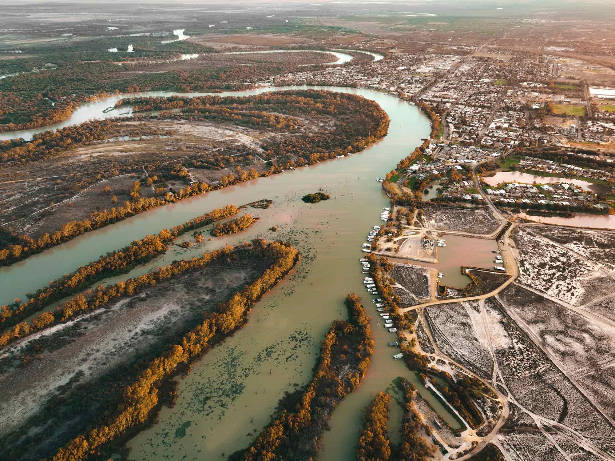
The border between Victoria and New South Wales also follows the Murray River. When Victoria became a separate colony in 1851, there was considerable discussion about where its border should lie.
A proposal was eventually adopted to define the border as a bearing from Cape Howe, the easternmost point of Victoria, to the nearest source of the Murray River and then along the river's course to the South Australian border.
The use of a river as a boundary has historically caused arguments and disputes between the states. The Murray River has also changed its course in some places over time, adding complexity to the definition of the boundary.
The corners of South Australia
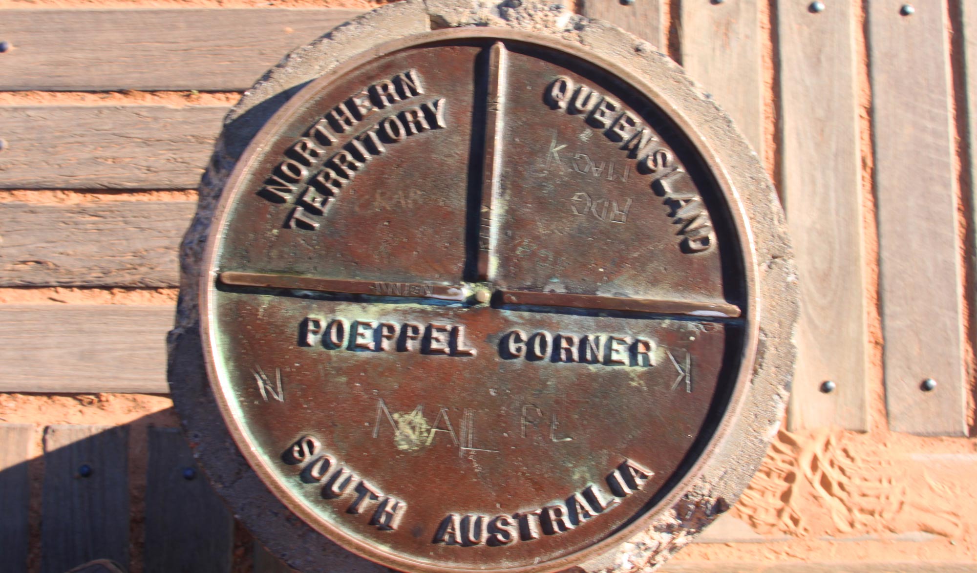
South Australia shares a border with all the mainland states as well as the Northern Territory. Where the border meets another state, or changes direction, the corner has been officially named, except where it meets the New South Wales–Victoria border.
Some of these corners are marked with concrete pillars.
Corners of the South Australian border
| Point | Name | Coordinates |
|---|---|---|
| SA-WA-NT | Surveyor General's Corner | 26° S, 129° E |
| SA-NT-Qld | Poeppel Corner | 26° S, 138° E |
| SA-Qld | Haddon Corner | 26° S, 141° E |
| SA-Qld-NSW | Cameron Corner | 29° S, 141° E |
| SA-NSW-Vic | MacCabe Corner | 34° S, 141° E |
About the WA–SA–NT border discrepancy
A glance at most maps of Australia suggests that the border along the eastern edge of Western Australia is one continuous straight line, but it is not.
The survey of the Western Australian border was first discussed in 1911, but it was not until 1922 that an agreement was signed between the Premier of Western Australia and the Premier of South Australia.
The agreement set out the border as a line determined by the 129th meridian of longitude. However, the agreement required that the boundary be defined by lines running north and south from independently fixed points at Deakin and Argyle.
When survey work began on the South Australia–Northern Territory border in 1963, it became clear that the earlier agreement had precluded the possibility of the lines meeting exactly. Precise survey methods confirmed this, and in June 1968 two monuments were erected approximately 127 metres apart at the convergence of the boundaries.
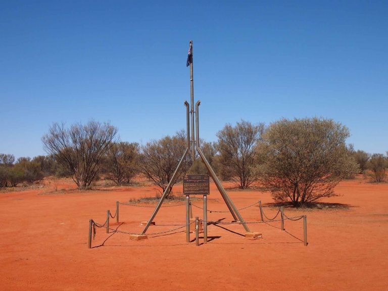
One of these monuments was named Surveyor General's Corner. It is said that fewer people have visited this site than have been to the South Pole.
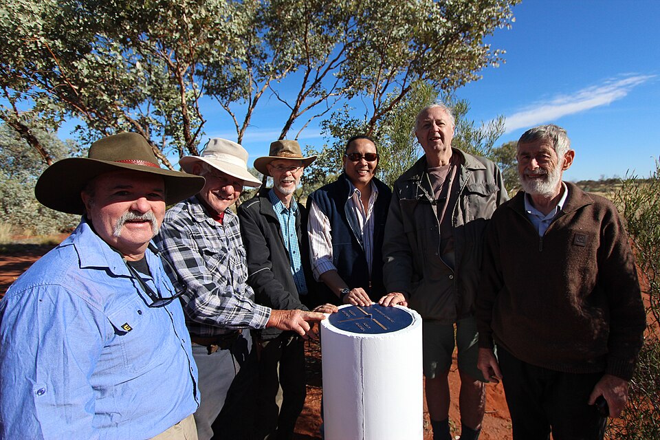
A group of surveyors, including former Northern Territory Surveyors General Garry West and Rob Sarib visited Surveyor-Generals Corner in 2018
The dramatic story of the Qld–NSW border
The Queensland–New South Wales border was formally defined by letters patent dated 6 June 1859. It runs from Point Danger, following watersheds and rivers before continuing along the 29th parallel south.
Surveying of the border between Point Danger and the Dumaresq River began in 1863. Queensland surveyor Francis Roberts and New South Wales surveyor Isiah Rowland were expected to work on the exercise together, but after a personal falling out, completed separate surveys. When the New South Wales survey records were later destroyed by fire, both governments agreed to use the Queensland survey.
Between 1879 and 1881, George Watson of Queensland and John B Cameron of New South Wales surveyed the section between the Barwon River and the South Australian border along the 29th parallel. They worked through floods and drought to complete the survey. The point where the Queensland, New South Wales and South Australian borders meet is now marked by Cameron Corner.
A 200-metre border error
In 2001, modern surveyors retraced the work of Roberts and Rowland as part of a Centenary of Federation project and found an error of around 200 metres in the original survey. On the surface this may seem incidental, but the error occurs at the point on the New England Highway where the twin towns of Wallangarra (Queensland) and Jennings (New South Wales) are located.
Established in 1885, the survey suggests that the originally intended border would place most of Jennings inside Queensland. For local residents, however, the historical location of the border is about more than surveying accuracy. Jennings has long been regarded as a New South Wales town — and locals have no intention of giving that up.
How did the Australian Capital Territory border come about?
After Federation in 1901, it was decided that a seat of government for the new nation should be selected. To prevent rivalry between the existing state capitals, particularly Melbourne and Sydney, the new national capital would be established elsewhere. Several possible locations were suggested, including Albury, Armidale, Bombala, Lake George, Orange and Tumut.
In 1908, a ballot selected the Yass–Canberra region as the location of the national capital. Yass–Canberra was defined as a triangle, with Yass at the top corner, Lake George to the east and the Murrumbidgee to the west.
The national capital was known originally as the ‘Federal Capital Territory’ and was formally transferred from New South Wales on 1 January 1911. Land-locked, the Federal Capital Territory acquired a port when Jervis Bay was transferred from NSW in 1915. On 29 July 1938, the Federal Capital Territory was officially legislated as the Australian Capital Territory.
About Geoscience Australia
Geoscience Australia delivers the trusted national geospatial and Earth science information that helps Australia understand, manage and plan for its land, resources, environment, infrastructure and resilience.
Discover more about Australia’s geography and people in the Digital Atlas of Australia, or return to the Australian Geography Knowledge Hub.
Discover more
Different methods of calculation produce different geographic centre points for Australia, reflecting the shape of the continent and the way its centre is defined.
Australia's maritime zones are measured from the territorial sea baseline under the UN Convention on the Law of the Sea. Establishing baselines relies on geoscience, geospatial science, coastal mapping and law.
Learn how Australian place names are managed, coordinated nationally, brought together in the Composite Gazetteer of Australia, and made available via the Place Names app.