Location information at work Planning and building the nation
Trusted location information helps governments, planners and industry make informed decisions about the infrastructure and services that support Australia’s future.
Page last updated:4 November 2026
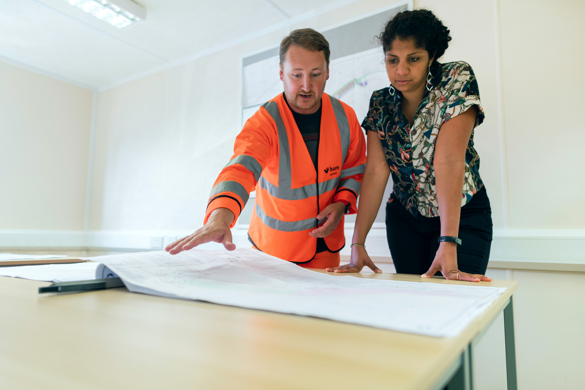
Informing investment in infrastructure and services
Across government and industry, our trusted geospatial data provides an essential foundation for development decisions.
Understanding where people live, where services are located, and how existing infrastructure is distributed helps planners identify needs, assess opportunities and consider investment options.
Geoscience Australia makes national foundation geospatial data available in a range of formats, helping users build a shared picture of Australia’s people and places.
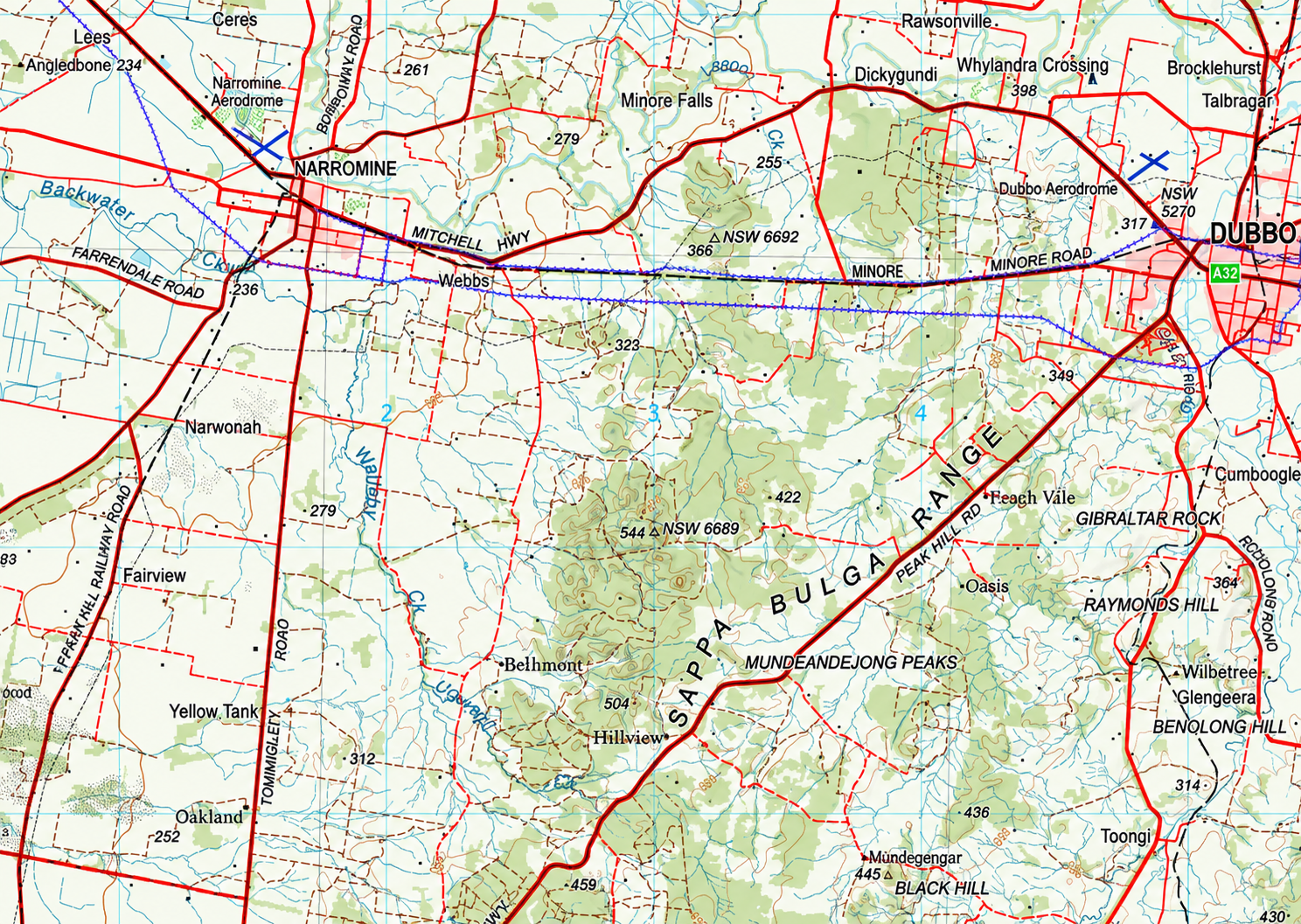
Planning projects with trusted topographic resources
From roads and railways to pipelines and utilities, good planning depends on reliable base information.
Geoscience Australia provides nationally consistent topographic maps and information showing terrain, waterways, transport networks, the built environment and other features that shape where and how projects are realised.
This information supports site assessment, route planning, project preparation and implementation.
Build with our topographic maps and data.
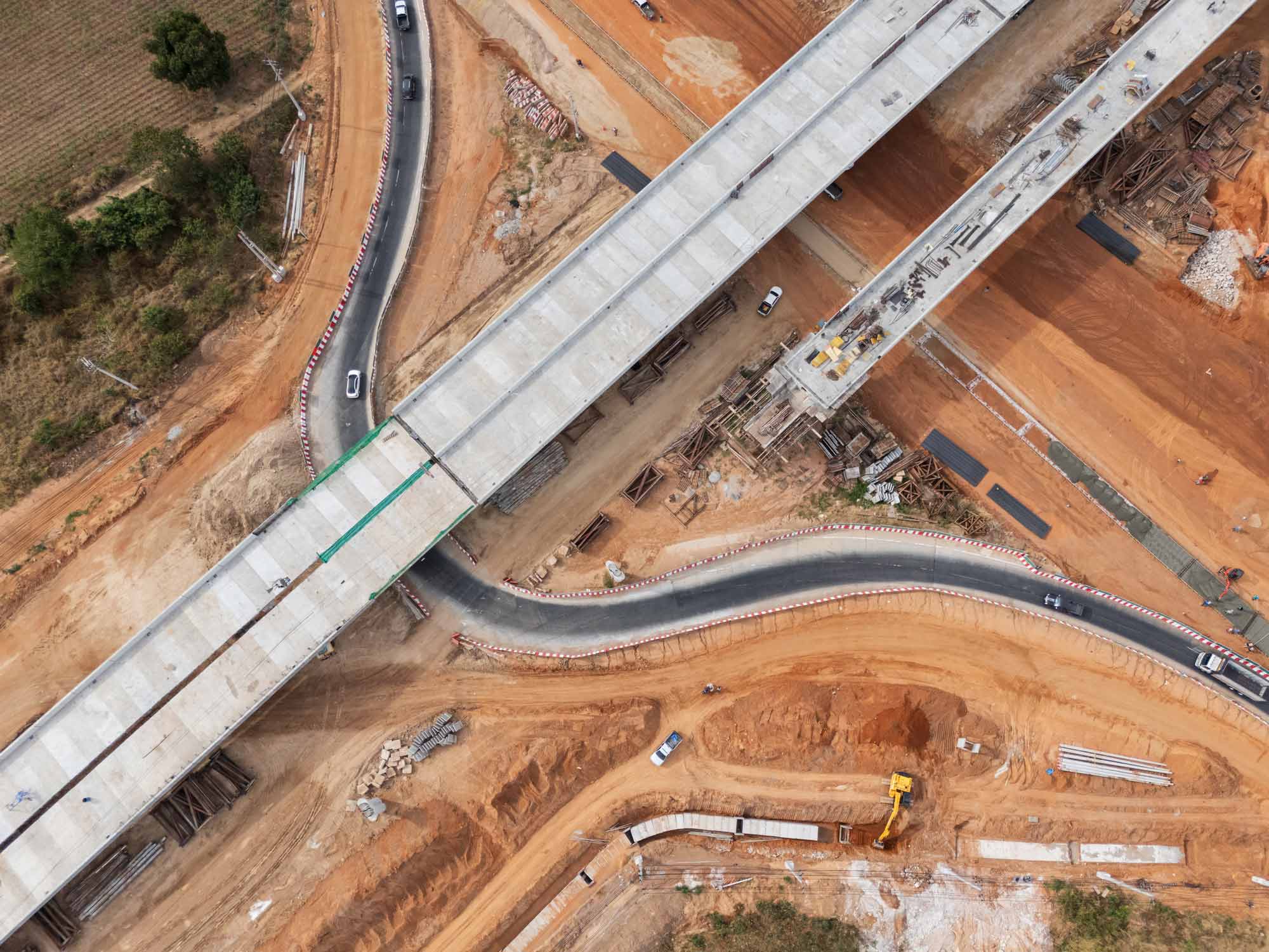
Designing with the landscape: elevation and terrain
Infrastructure must work with its terrain — and high-quality elevation data helps engineers understand how their design fits the landscape.
Data made available through Geoscience Australia’s ELVIS Elevation Information System is used across government and private infrastructure projects to analyse slopes, catchments and landslide and flood risks.
It supports site assessment, road and bridge design, earthworks and cut-and-fill estimates, drainage and stormwater planning, utility and transmission line planning, and modelling.
The data helps engineers and planners identify constraints, test designs and make better use of survey information throughout a project’s lifecycle.
Explore the data with ELVIS.
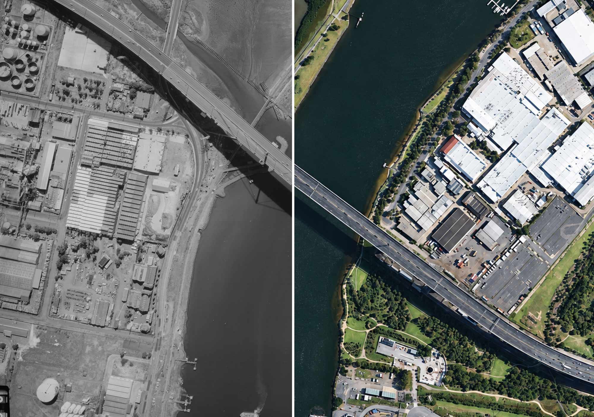
Bridging the past with the future
Historical aerial photography can reveal the layered stories of a development site.
Geoscience Australia’s Historical Aerial Photography collection provides a unique record of Australia’s changing landscapes and places, captured between 1928 and 1996.
From heritage and land management to archaeology and environmental research, historical imagery uncovers features that are no longer visible on the ground — including old vegetation, buildings, earthworks and changes to the landscape.
Learn more about our historical aerial photography
Explore the collection
Find data and tools for your work
Explore Geoscience Australia's maps, datasets and platforms to apply location information to your projects.

Digital Atlas of Australia
Discover, analyse and download curated national datasets by location, data provider or theme. The Digital Atlas brings together trusted data from across government in a user-friendly online platform.

Australia’s national foundation geospatial data
Search, view and use Australia’s national foundation geospatial data through trusted maps, platforms, portals and services.
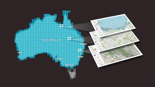
Topographic Maps Explorer
Explore Geoscience Australia’s authoritative national topographic maps and data, including current and historical maps and information available to download for free.
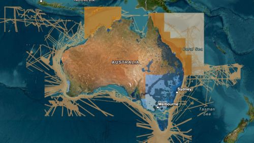
ELVIS Elevation Information System
Integrate elevation data into your project. ELVIS provides access to LiDAR point clouds, digital elevation models and other data through a cloud-based platform.