Knowledge article Guide: How to read a topographic map
Page last updated:4 November 2026
A topographic map shows the natural and built environments of an area and provides information to help you locate yourself, understand the terrain and navigate. Learn how to read and interpret topographic maps with our Map Reading Guide.
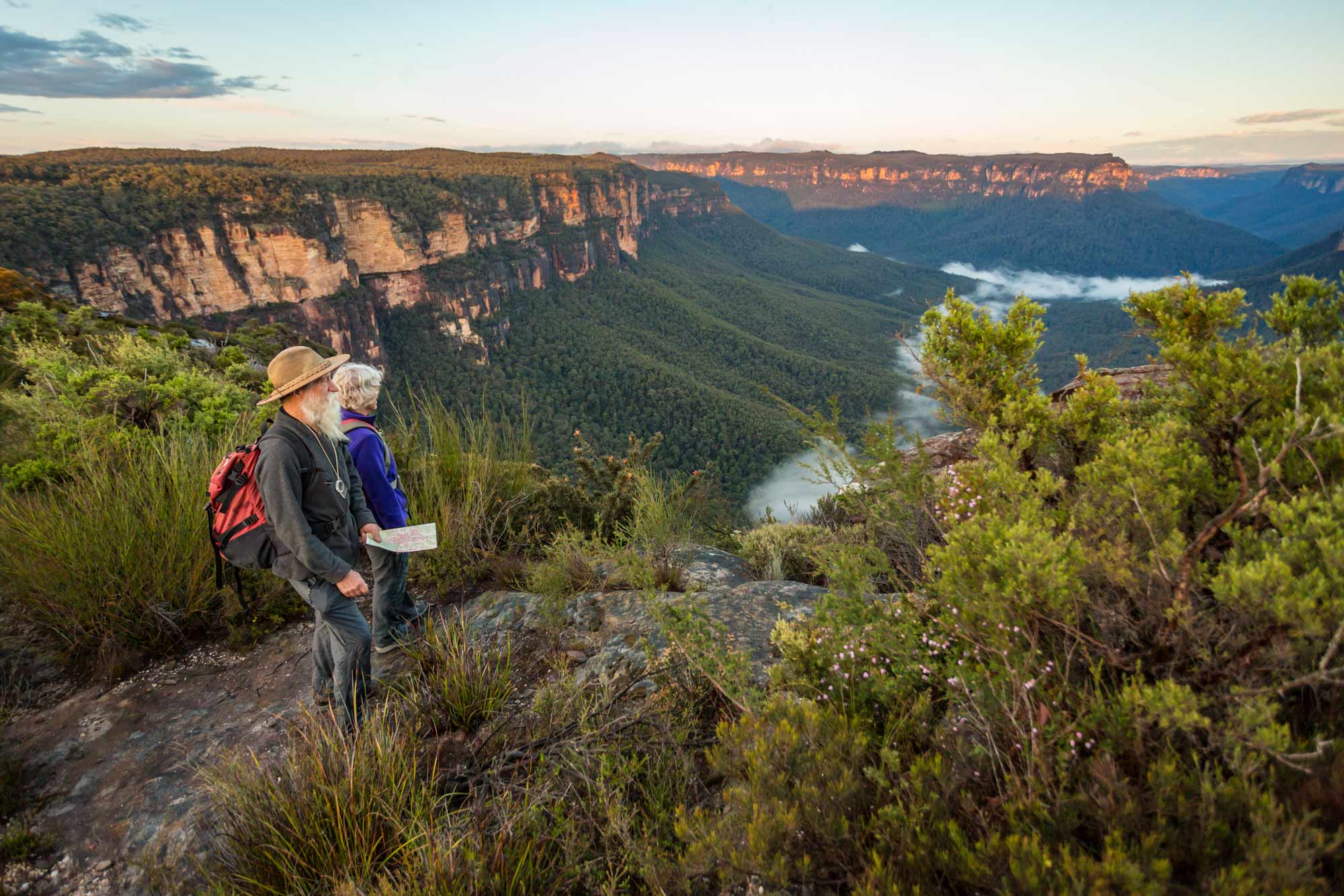
Geoscience Australia’s Map Reading Guide is a practical introduction to using topographic maps. It is particularly useful for bushwalkers, hikers, outdoor groups and anyone learning to navigate with a map and compass.
Download the Map Reading Guide
What will you learn?
The guide explains how to read the information found on a topographic map and use it to understand your surroundings and navigate.
It covers:
Map scale and distance — measure distances and understand the relationship between map and ground distance.
Map symbols and features — interpret roads, buildings, waterways, vegetation, boundaries and other features using the map legend.
Grid references and coordinates — use eastings, northings, latitude and longitude to identify locations on a map.
Contour lines and terrain — recognise hills, valleys and slopes and understand how closely spaced contours indicate steeper terrain.
Direction and bearings — understand true, grid and magnetic north and use bearings to navigate.
Using a map with a compass and GPS — orientate a map, determine your position and combine map information with satellite navigation.
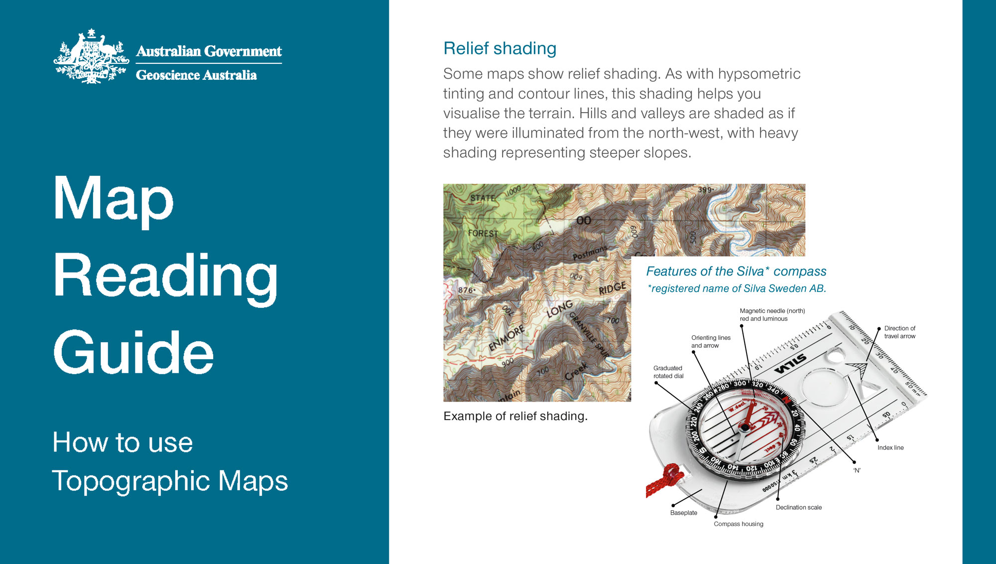
From printed maps to digital mapping
For more than a century, Geoscience Australia and its predecessors have provided trusted national maps of Australia. As mapping evolves from printed sheets to digital data that can be used in online maps, GIS and other applications, Geoscience Australia is no longer producing printed topographic maps.
National coverage is available through our digital topographic maps and data, while 1:25,000-scale maps — best suited to detailed hiking and navigation — are produced by individual states and territories rather than as a national series.
For the most detailed topographic maps, check the relevant state or territory mapping agency.
Explore our topographic maps of Australia or return to the Topographic Maps Knowledge Hub.
Discover more
Understand map scale, how it affects detail and area covered, and how to choose the right scale for different uses.
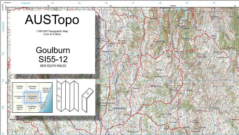
See how Australian topographic maps are numbered and how map sheets fit together across different scales.
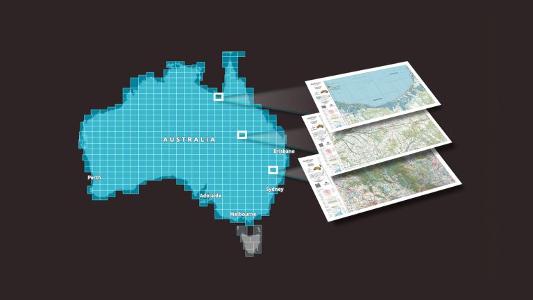
Explore trusted, nationally consistent topographic maps of Australia, including current AUSTopo coverage, historical map series and topographic data.