Knowledge Hub Learn about topographic maps

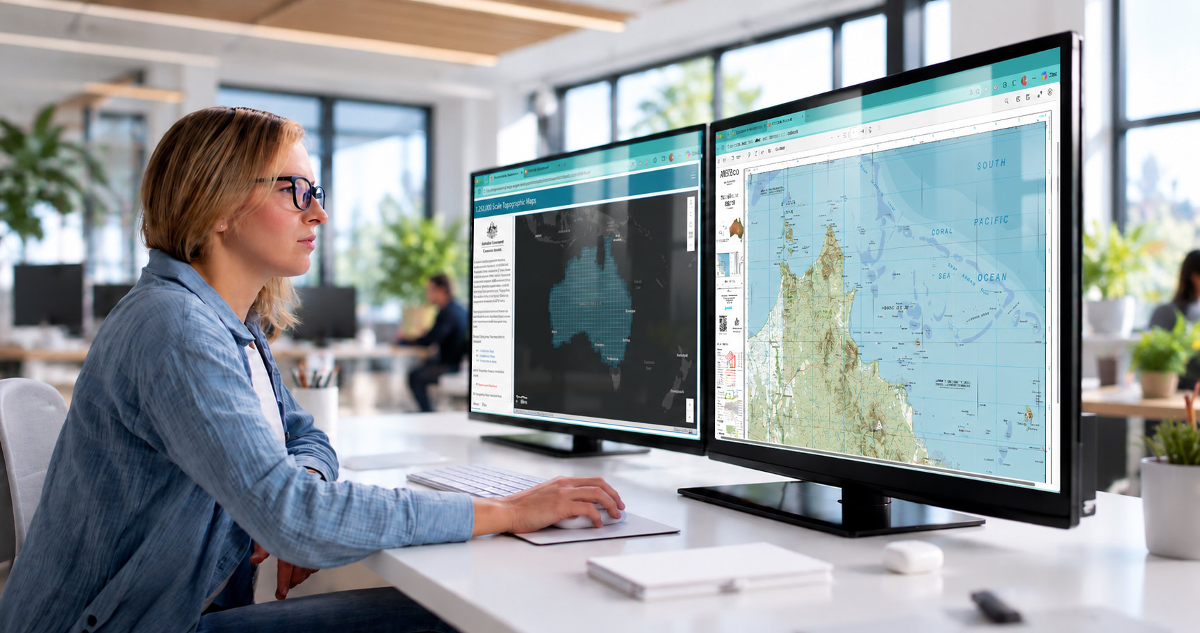
How are topographic maps made?
For nearly a century, Geoscience Australia and its predecessors have provided topographic maps to Australia’s governments, industry and communities. Today, that mapping continues in digital form.
Discover how our team brings geographic data together from many sources, applies common standards, and transforms it through cartography and technology to create trusted, nationally consistent maps of Australia’s landscape.
Understand mapping basics
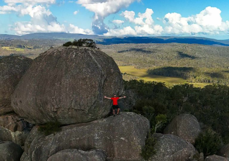
Understand map scale, how it affects detail and area covered, and how to choose the right scale for different uses.
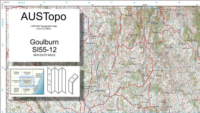
See how Australian topographic maps are numbered and how map sheets fit together across different scales.
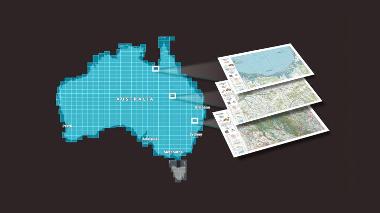
Explore trusted, nationally consistent topographic maps of Australia, including current AUSTopo coverage, historical map series and topographic data.
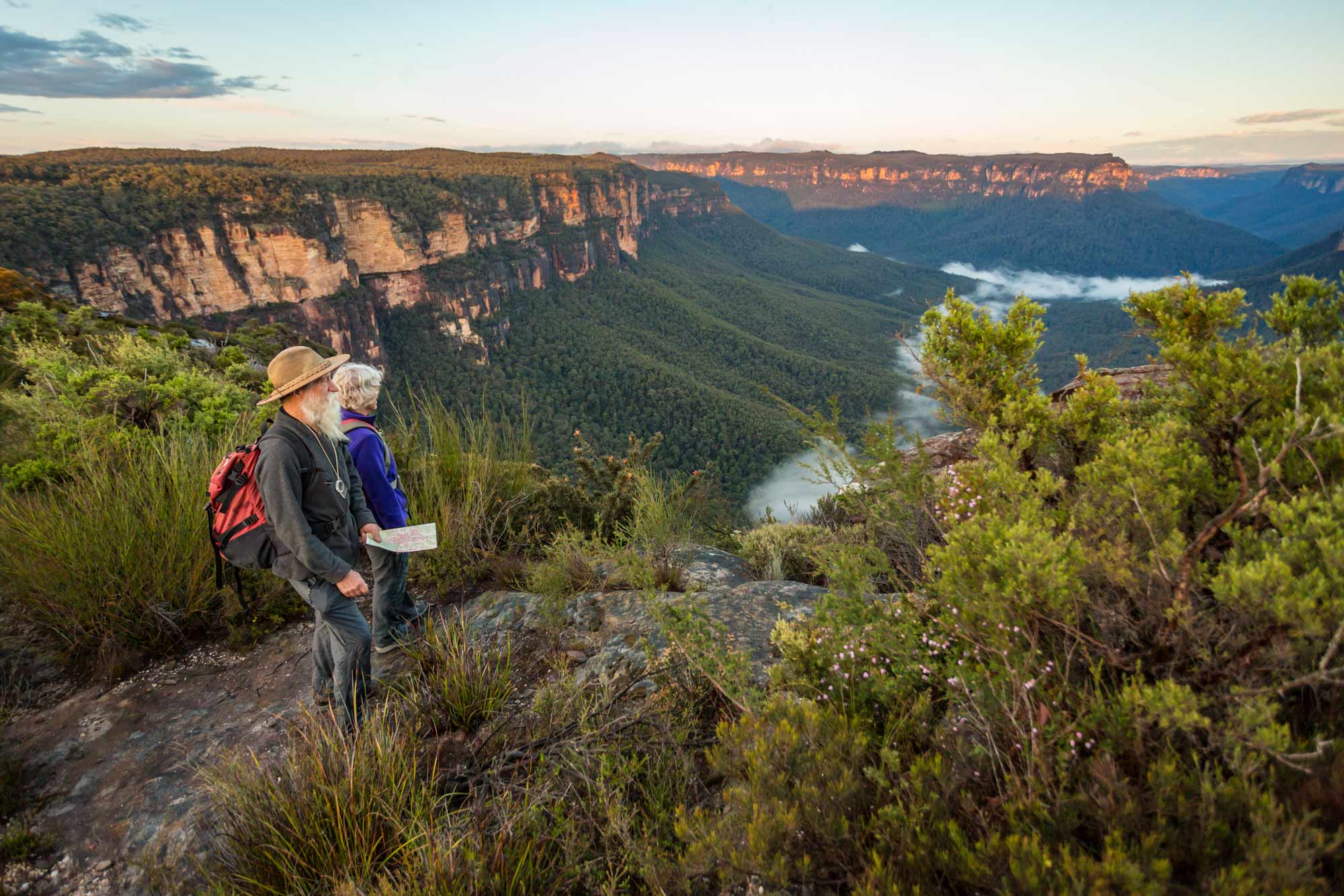
How to read a topographic map
Learn how to read and interpret topographic maps with our downloadable Map Reading Guide.
Get a handle on:
- Map symbols and features
- Grid references and coordinates
- Contour lines and terrain
- Direction and bearings
- Using a map with a compass and GPS.
Related resources

Explore Australia’s geography, from its size, borders and place names to landforms, islands, territories and significant features.

From Australia's highest mountains and longest rivers to its largest lakes and highest cities and towns, get the facts about some of the country's most significant geographic features.
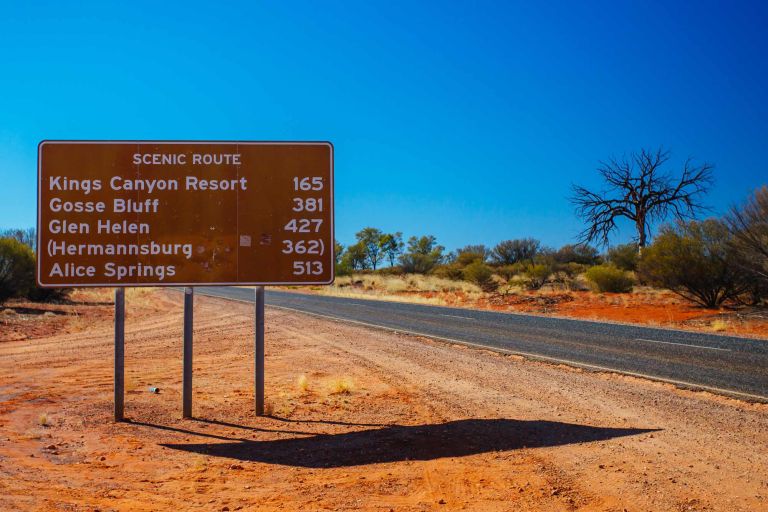
Learn how Australian place names are managed, coordinated nationally, brought together in the Composite Gazetteer of Australia, and made available via the Place Names app.