Knowledge article What is map scale?
Page last updated:4 November 2026
Map scale represents the relationship between a distance on a map and the corresponding distance on the ground. It helps you understand how much area a map covers, how much detail it shows and what the map is best used for.
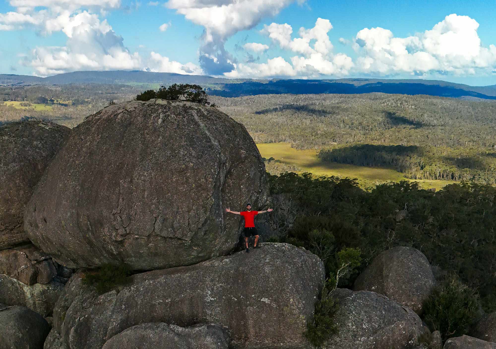
What does a map scale mean?
Map scale is usually expressed as a ratio, such as 1:50 000.
The first number represents a distance on the map and the second represents the corresponding distance on the ground. On a 1:50 000 map, for example, 1 centimetre on the map represents 50 000 centimetres (or 500 metres) on the ground.
Map scale can also be shown using a scale bar, which lets you measure distances directly from the map.
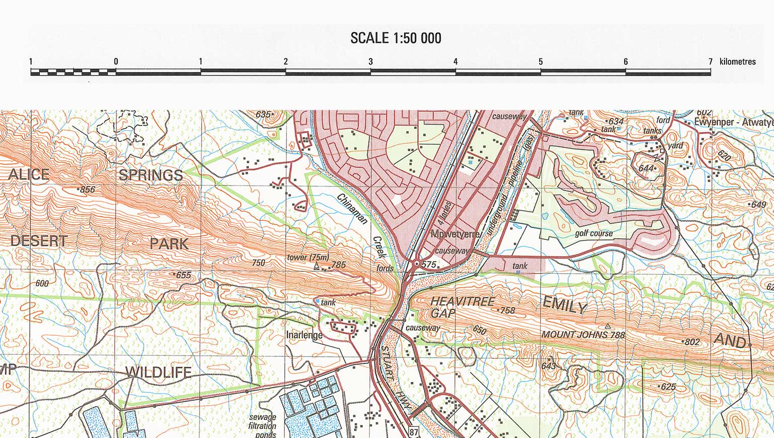
Large-scale and small-scale maps
The scale of a map affects the amount of detail it can show.
A large-scale map covers a smaller area but shows more detail. A small-scale map covers a larger area but shows less detail. This can seem counterintuitive: the larger the second number in a scale ratio, the smaller the map scale.
| Map scale | 1 cm on the map represents | Example uses |
|---|---|---|
| 1:25 000 | 250 m | Bushwalking, agriculture, emergency response, adventure touring |
| 1:50 000 | 500 m | Hiking, fauna surveys, 4-wheel-driving, emergency response |
| 1:100 000 | 1 km | Regional travel and planning, emergency response |
| 1:250 000 | 2.5 km | Mineral exploration, environmental planning, reports/books, emergency management, tourism |
| 1:1 million | 10 km | General reference, tourist maps, wall maps |
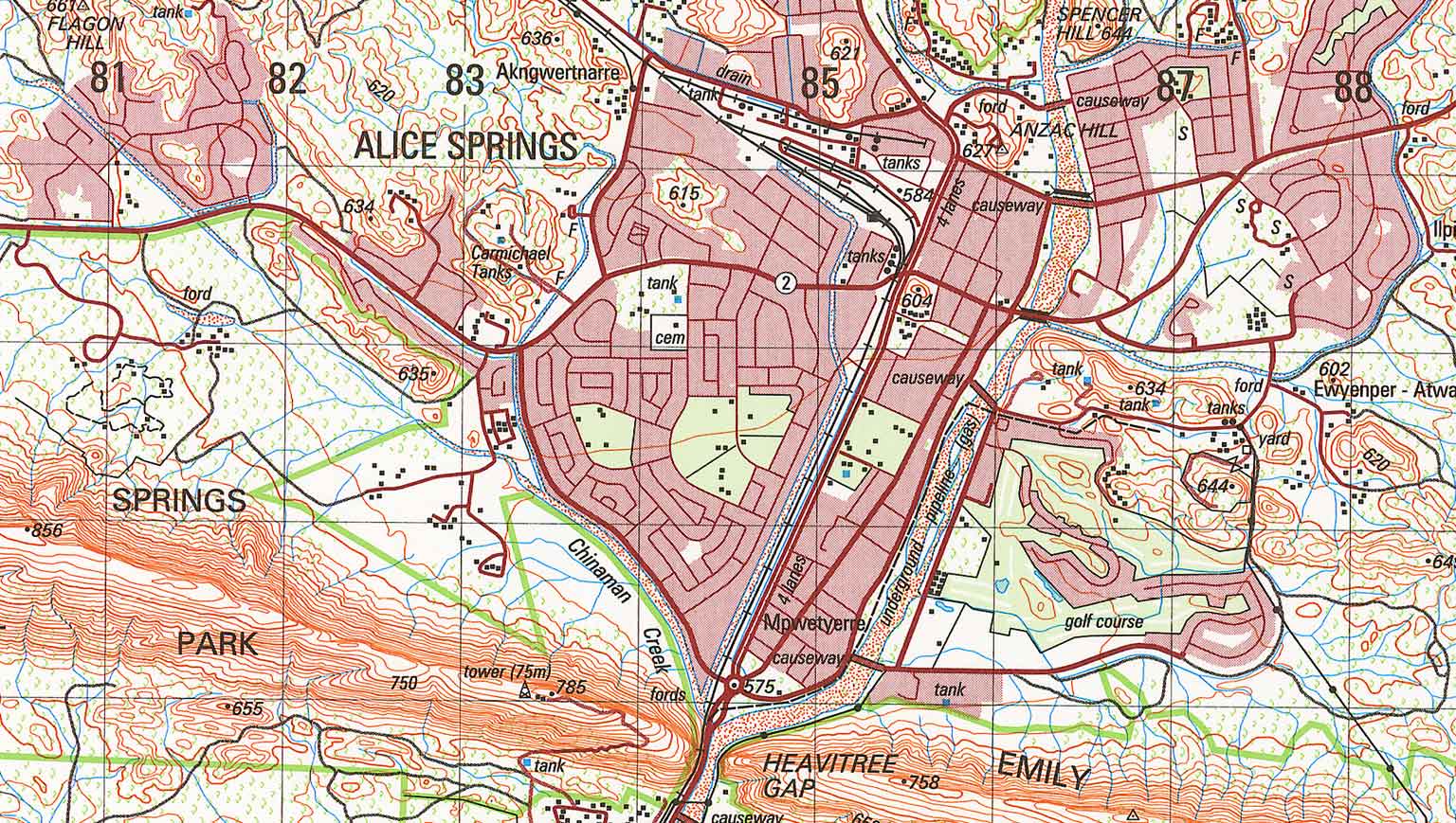
Segment of a 1: 50 000 scale map of Alice Springs
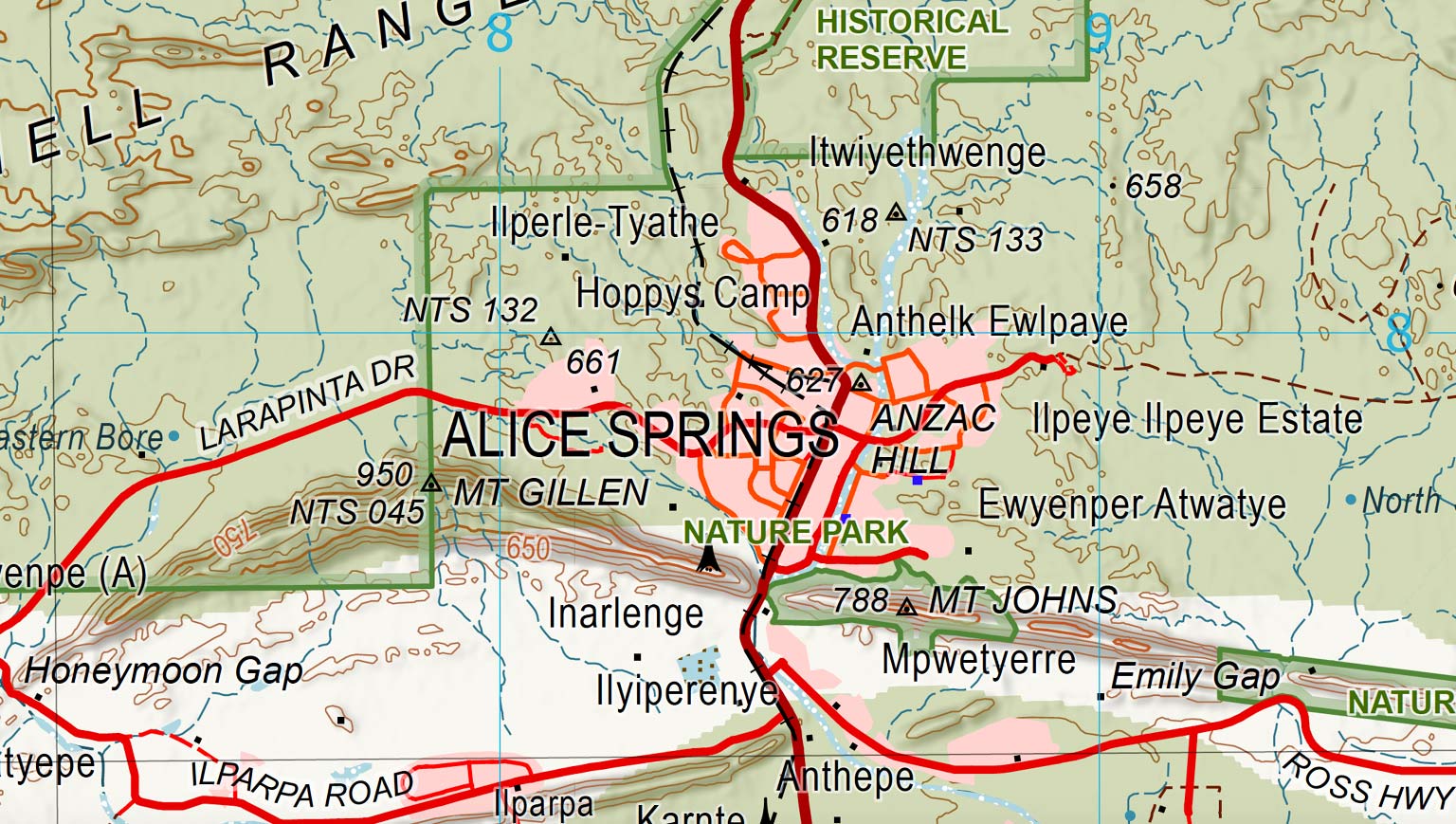
Segment of a 1: 250 000 scale map of Alice Springs
Choosing the right map scale
The best scale of map depends on what you need to see.
For example, a 1:50 000 map provides more detail for navigating on foot, while a 1:250 000 map covers a much larger area and is more suitable for planning travel over longer distances.
Geoscience Australia and other Australian mapping agencies produce topographic maps at a range of scales to support different uses.
Why does map scale matter?
Scale helps you judge distance, detail and the area covered by a map. It is one of the first things to check when using a topographic map, alongside the map's orientation, projection and coordinate system.
The Geoscience Australia Map Reading Guide explains how to interpret map scale, measure distance and use topographic maps with coordinates, a compass and satellite navigation systems.
Download the Map Reading Guide
About Geoscience Australia
Geoscience Australia delivers the trusted national geospatial and Earth science information that helps Australia understand, manage and plan for its land, resources, environment, infrastructure and resilience.
Explore our topographic maps of Australia or return to the Topographic Maps Knowledge Hub.
Discover more
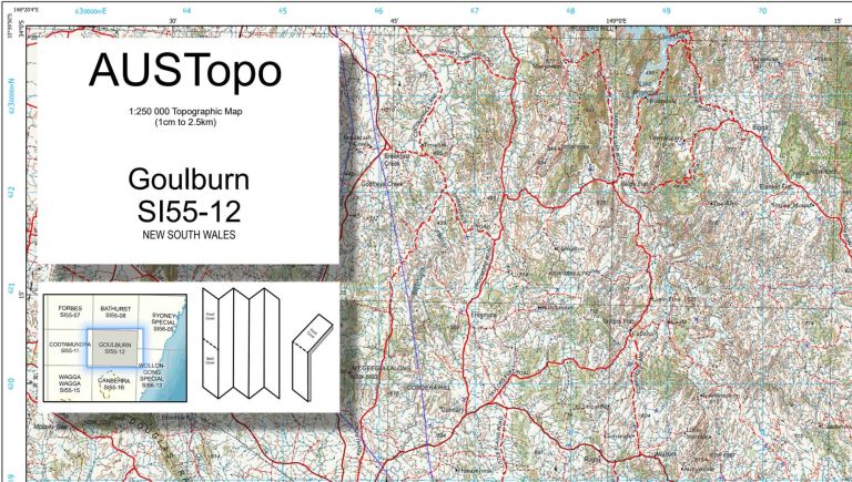
See how Australian topographic maps are numbered and how map sheets fit together across different scales.
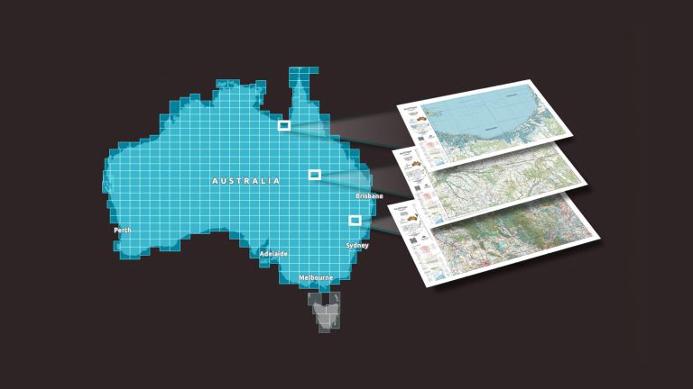
Explore trusted, nationally consistent topographic maps of Australia, including current AUSTopo coverage, historical map series and topographic data.
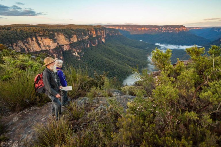
Learn how to read topographic maps, interpret symbols, coordinates, contours and bearings, and navigate with a map and compass.