Maritime jurisdiction Australian Marine Spatial Information System (AMSIS)
Page last updated:27 August 2026
The Australian Marine Spatial Information System (AMSIS) is the Australian Government's digital platform for accessing and visualising official information relevant to marine spatial planning, governance and the sustainable management of Australia's marine domain.
It brings together authoritative information from multiple government agencies and other trusted data custodians into a nationally consistent view of the rights, responsibilities, restrictions, uses and environmental values that apply and interact across Australia’s maritime jurisdiction.
By making complex marine spatial information accessible in a single platform, AMSIS improves transparency, accountability, and coordination across sectors. It supports effective ocean governance by enabling informed decision-making, strengthening compliance, improving efficiency, reducing risks, and fostering collaboration among government, industry and communities.
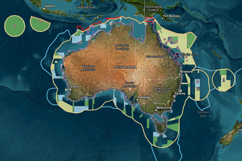
Geoscience Australian maintains the Australian Maritime Boundaries 2020 dataset, which can be visualised via the Australian Marine Spatial Information System (AMSIS).
Understand what applies where
Australia’s maritime jurisdiction is one of the largest and most complex in the world.
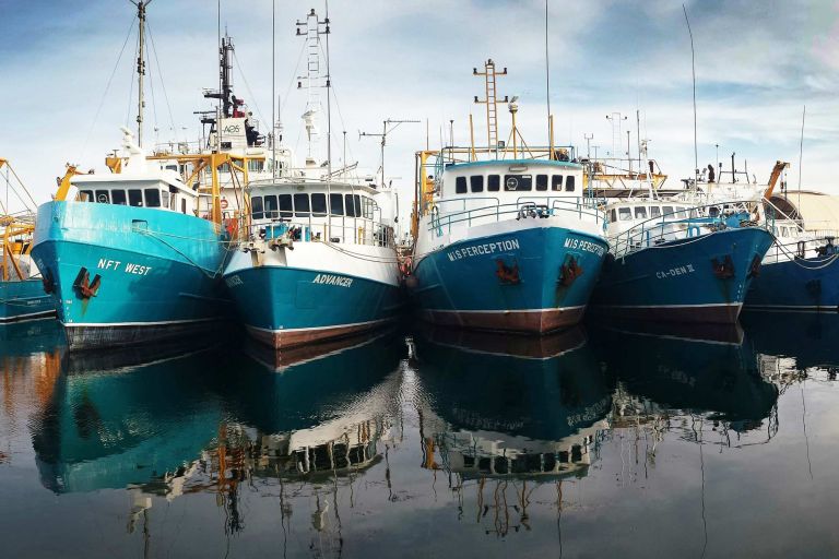
Shipping routes cross marine parks, fisheries operate alongside conservation areas, submarine cables traverse marine zones, and offshore energy developments coexist with defence activities, scientific research and other marine uses.
As Australia’s ocean economy grows and new industries emerge, demands on our marine environments and their sustainable use are intensifying. Balancing competing uses, environmental values and regulatory requirements is becoming increasingly challenging.
AMSIS addresses this challenge by providing a shared spatial reference: an accessible, trusted view of the rights, responsibilities, restrictions, uses and environmental values that apply across Australia’s marine domain.
By helping stakeholders understand what applies where, AMSIS reduces the potential for conflict, supports more efficient planning and decision-making and provides greater certainty for investment.
By using geography to connect jurisdiction, governance and regulation information, AMSIS supports informed decisions across marine planning, assessment and management, policy development, research and investment.
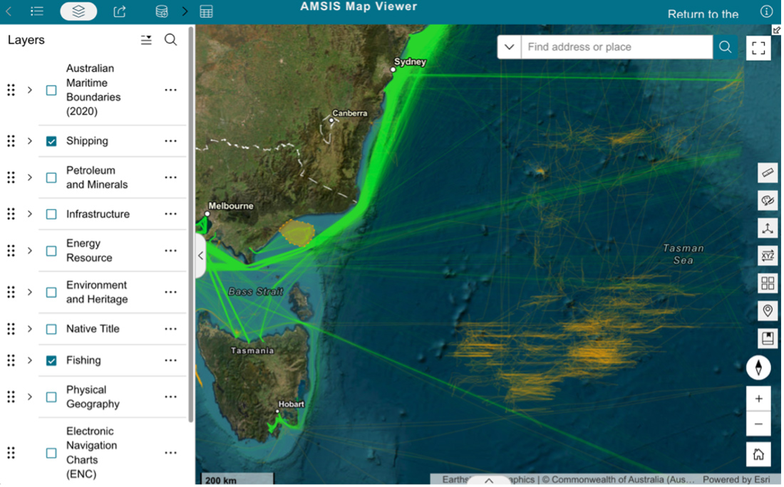
Access authoritative marine information in context
AMSIS draws together hundreds of datasets from government agencies and other data custodians into a single, nationally consistent view.
By selecting, overlaying and comparing layers of information, users can better understand not only where activities occur, but also how environmental, legal and administrative arrangements interact in any location.
Explore information including:
- Maritime boundaries and jurisdiction
- Fisheries
- Shipping and navigation
- Offshore energy and infrastructure
- Environmental protections
- Native title interests
- Offshore minerals
- Marine geography
Many datasets can also be downloaded or accessed through map services for use in other systems and applications.
Responsibility for maintaining each dataset remains with the relevant data custodian, ensuring AMSIS provides access to current, authoritative information.
Supporting Australia's ocean future
Australia’s maritime jurisdiction is becoming increasingly complex as new industries, technologies and environmental challenges emerge.
Geoscience Australia is continuing to develop AMSIS as part of the next generation of Australia's marine geospatial infrastructure, strengthening the authoritative information that supports marine planning, ocean policy, maritime security and the administration of Australia's maritime jurisdiction.
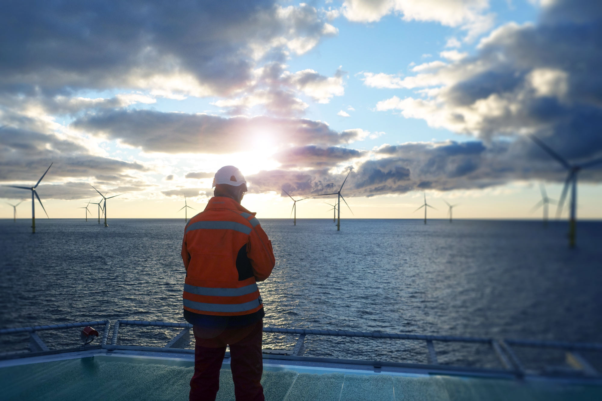
Enabling Australia’s offshore vision
Developing offshore renewable energy requires balancing infrastructure needs with existing marine activities, environmental values and community interests.
The Australian Marine Spatial Information System (AMSIS) helps address this challenge by showing how marine uses, environmental values, maritime boundaries and other information interact across Australia's offshore areas.
See how AMSIS and Geoscience Australia are supporting Australia's offshore energy future — from seabed insights to community consultation.
Related resources
Learn how AMSIS brings together trusted marine geospatial information to show what applies where across Australia's marine domain. Discover the technology, design principles and thinking behind its development and evolution.
Australia's maritime zones define where different rights, responsibilities and obligations apply across Australia's maritime jurisdiction.

Understand the legislation and governance frameworks behind the information available through AMSIS.