Insights for impact Enabling Australia's vision for offshore renewables
Our trusted marine information helps Australia plan, manage and understand emerging offshore renewable energy environments — ensuring secure foundations for a future industry.
Page last updated:27 August 2026
The challenge
Australia has some of the greatest offshore wind resources in the world, creating major opportunities for renewable energy. Choosing where to locate renewable energy infrastructure, however, requires much more than identifying where the wind blows.
Offshore environments are dynamic, shared spaces with overlapping environmental, economic and social values. Planning requires complex information about shipping, fisheries, environmental protections, migratory species, existing infrastructure, regulations and community interests to be brought together into a clear picture of what is happening — and what is proposed — in any location.
Knowledge about the physical environment is equally important. Water depth, seabed composition and subsurface stability all influence where infrastructure can be responsibly installed, how foundations are designed, and the routes subsea cables can take to connect offshore developments with onshore electricity networks.
Shaping Australia’s offshore energy future relies on making this complex spatial and seabed information accessible, understandable and ready to use.

Blue geoscience for better decisions
Geoscience Australia has played a role in Australia's offshore renewable energy transition since its earliest stages.
As a member of the taskforce that developed the Commonwealth Offshore Electricity Infrastructure Act 2021, we contributed marine geoscience and spatial expertise to help establish the legislative framework for Australia's offshore electricity industry.
At the same time, our Australian Marine Spatial Information System (AMSIS), the Australian Government's digital platform for accessing and visualising spatial information across Australia’s maritime jurisdiction, was used to support consultation on proposed renewable energy areas, informing decisions about the six areas declared suitable for renewable energy infrastructure.
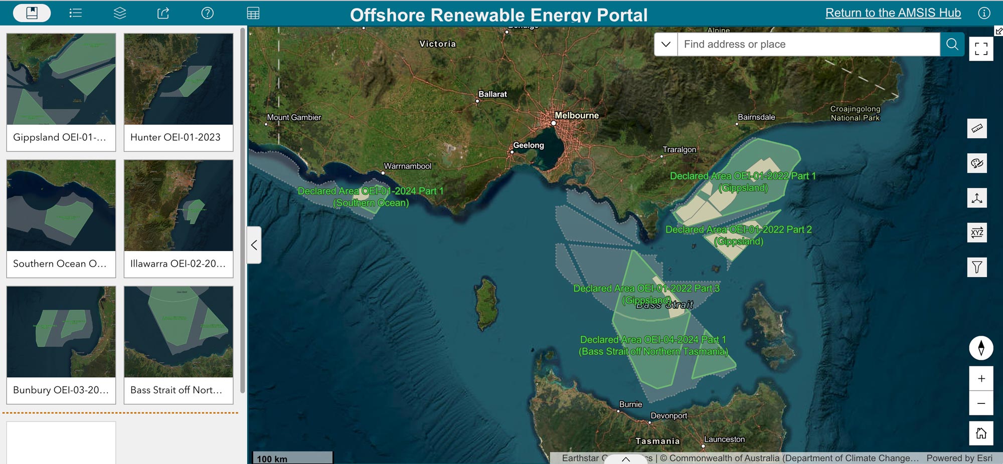
Where are Australia’s Declared Offshore Renewable Areas and how do they relate to other marine areas and uses? The Australian Marine Spatial Information System (AMSIS) provides publicly available data layers and tools to visualise and answer these questions.
Maps make meaningful conversations possible
AMSIS continues to play an important role in helping people see offshore energy areas in their wider marine context.
By connecting information on maritime jurisdiction, shipping routes, fisheries, environmental values, existing infrastructure and other marine activities, AMSIS makes it easier to understand how proposed offshore renewable energy areas relate to existing and overlapping marine uses.
Geoscience Australia used AMSIS’ maps, data and spatial tools throughout the offshore renewable energy consultation process, both online and at community information sessions. By making complex marine information more accessible and transparent, the platform supported discussion and informed the feedback that helped shape final declared areas.
AMSIS also allows users to compare areas initially proposed for offshore renewable energy with the those ultimately declared by the Minister for Climate Change and Energy. Off Gippsland, Victoria, the differences are particularly striking — illustrating how stakeholder consultation shaped the final declared area.
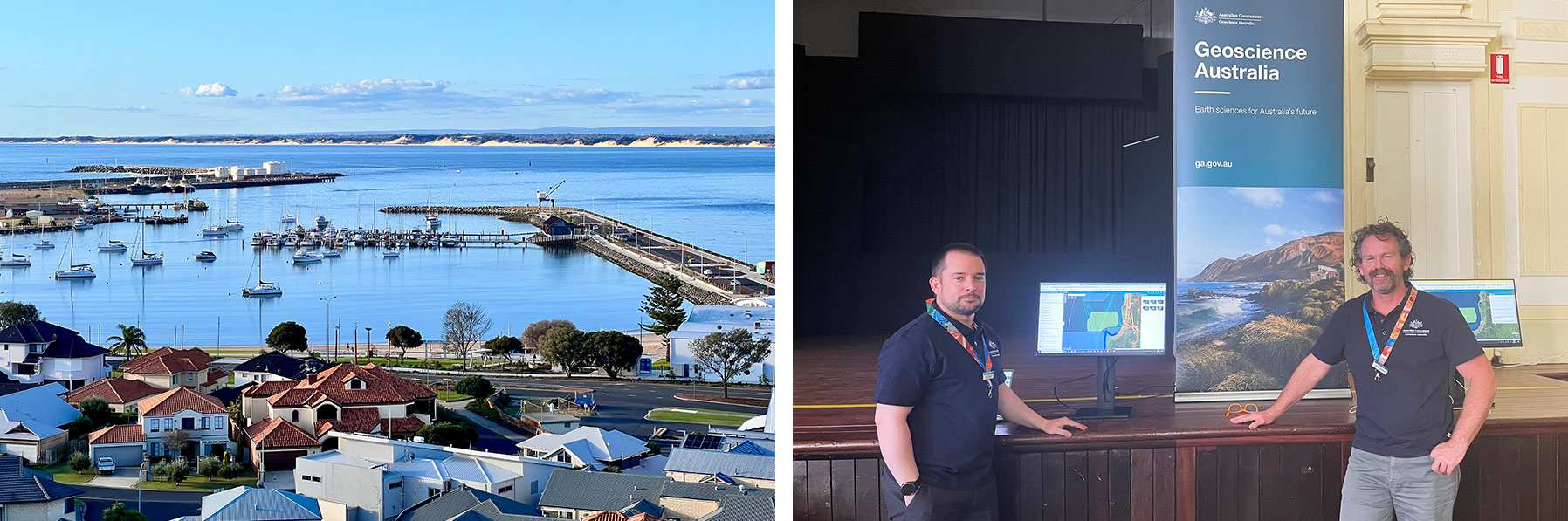
In 2024, the Department of Climate Change, Energy, the Environment and Water held public drop-in consultation sessions across Bunbury, Busselton, Harvey and Mandurah, Western Australia, to help communities understand the proposed offshore renewable energy zone. Around 1,000 people attended the session. Geoscience Australia's AMSIS platform helped explain how the proposed area was shaped by the intersections with other existing marine activities and environmental values.
Knowing what lies on and beneath the seabed
Effective planning depends not only on an awareness of how offshore areas are used, but also on knowledge of the seabed beneath them. As Australia's offshore renewable energy sector develops, the need for detailed, nationally consistent seabed information grows.
Through the Resourcing Australia's Prosperity initiative and collaborative Renewables Environmental Research Initiative (RERI) Geoscience Australia is helping build the scientific foundations for informed offshore planning and robust, efficient environmental assessment.
Working with government, industry and research partners, we’re strengthening regional seabed information in priority offshore energy areas. This includes building a clearer picture of seabed features and their geophysical characteristics, and how these may influence the stability and suitability of sites for offshore renewable energy development.
We’re also contributing to best practices and common languages for collecting and interpreting seabed data, providing clearer, more consistent guidance for industry and helping regulators and developers make better-informed and more efficient decisions.

Looking to the future
As climate pressures grow and demand on marine environments increases, planning Australia's offshore future will depend on better information about the seabed and the activities that share these waters.
By connecting marine science, geospatial information and spatial tools, Geoscience Australia is supporting more informed planning across some of Australia's most complex offshore environments, facilitating Australia’s net zero transition and enabling responsible management of resources.
Learn more
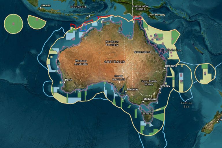
AMSIS connects geography with legislation, maritime boundaries and regulatory frameworks, providing an accessible, trusted view of what applies where across Australia’s marine domain.
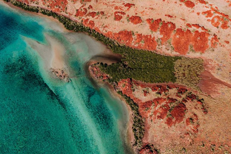
The landmark Resourcing Australia’s Prosperity initiative is an ambitious endeavour. It will use innovative data, research and analysis to assess national potential for a broad suite of the resources critical to the net zero transition, supporting a strong resources and energy sector.
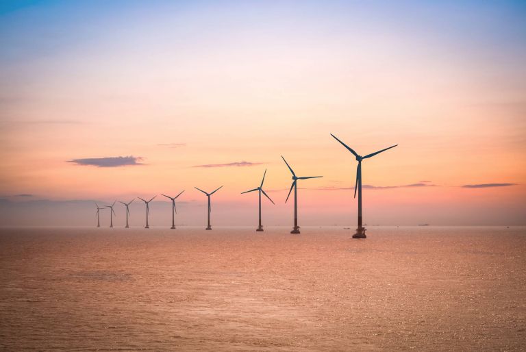
We're strengthening Australia's growing offshore renewable energy sector with two projects to map, characterise and standardise seabed information and data collection under the Renewables Environmental Research Initiative (RERI).